Enable Location

We need your location to show you interesting places around you

Discover nearby places

Find interesting locations and hidden gems around you

Precise directions

Get accurate directions and distances to places

Your location is never shared with other users. It's only used when you tap the location button.

Terre Haute

Log in to your account

Start exploring — it's free

Trusted by 62,171 travelers worldwide

Continue with Google
Continue with Apple
or

We will send you a code to connect

By continuing, you accept our Terms and Conditions and our Privacy Policy

Check your inbox

We've sent a pincode in your inbox. Please enter the code below.

Terre Haute, County seat in western Indiana, United States.

Terre Haute is a city on a plateau above the Wabash River in western Indiana, serving as the seat of Vigo County. Streets run in a grid pattern, connecting residential neighborhoods, industrial zones, and several university campuses.

A military outpost established in 1811 marked the start of permanent settlement after earlier conflicts had made the region unstable. The town grew as a trading hub along the river and later as a railroad crossroads in the 19th century.

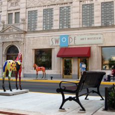
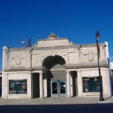
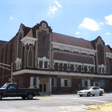
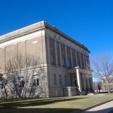
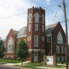
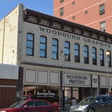
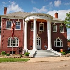
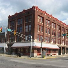
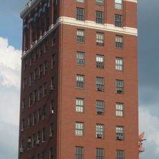
The name means "high ground" in French and refers to the elevated position above the river. Along the main thoroughfare, brick buildings from different centuries now house shops and offices.

The downtown area is easy to explore on foot, while the university campuses and museums often provide free parking. Spring and fall are comfortable for walking along the riverfront and through the city parks.

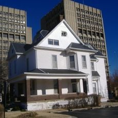
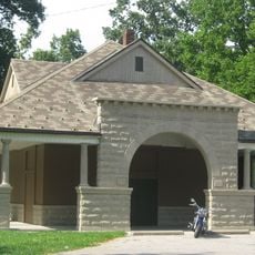
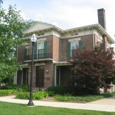
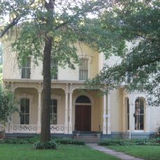
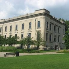
A former labor leader lived here and his home now serves as a museum dedicated to the labor movement. Visitors can view documents and personal belongings that provide insight into early union organizing.

The community of curious travelers

AroundUs brings together thousands of curated places, local tips, and hidden gems, enriched daily by 60,000 contributors worldwide.

Start exploring
Location
Inception
1811
Elevation above the sea
152 m
GPS coordinates
39.46670,-87.41391
Latest update
December 15, 2025 08:16
Around this place
United States of America

CANDLES Holocaust Museum and Education Center

579 m
Eugene V. Debs Home
United States of America

Eugene V. Debs Home

906 m
Indiana Theatre
United States of America

Indiana Theatre

598 m
Vigo County Courthouse
United States of America

Vigo County Courthouse

107 m
Allen Chapel African Methodist Episcopal Church
United States of America

Allen Chapel African Methodist Episcopal Church

780 m
Paul Dresser Birthplace
United States of America

Paul Dresser Birthplace

1.2 km
Swope Art Museum
United States of America

Swope Art Museum

579 m
Terminal Arcade
United States of America

Terminal Arcade

790 m
Wabash Theater
United States of America

Wabash Theater

712 m
Collett Park
United States of America

Collett Park

3.1 km
Terre Haute Post Office and Federal Building
United States of America

Terre Haute Post Office and Federal Building

554 m
United States of America

Oakley Observatory

8.6 km
Blessed Sacrament Chapel
United States of America

Blessed Sacrament Chapel

6.4 km
Booker T. Washington School
United States of America

Booker T. Washington School

2 km
Markle House and Mill Site
United States of America

Markle House and Mill Site

8.9 km
Terre Haute Masonic Temple
United States of America

Terre Haute Masonic Temple

724 m
Bethany Congregational Church
United States of America

Bethany Congregational Church

2.7 km
Condit House
United States of America

Condit House

468 m
United States of America

Tirey Hall

586 m
Building at 23–27 S. Sixth Street
United States of America

Building at 23–27 S. Sixth Street

332 m
Vigo County Home for Dependent Children
United States of America

Vigo County Home for Dependent Children

9.6 km
Star Building
United States of America

Star Building

394 m
Twelve Points Historic District
United States of America

Twelve Points Historic District

3.1 km
Bogey's Family Fun Park
United States of America

Bogey's Family Fun Park

5.1 km
Sage-Robinson-Nagel House
United States of America

Sage-Robinson-Nagel House

1.7 km
United States of America

Indiana State University Recreational Center

910 m
Citizens' Trust Company Building
United States of America

Citizens' Trust Company Building

351 m
State Normal Library
United States of America

State Normal Library

586 m
Show the full map
« Terre Haute - County seat in western Indiana, United States » is provided by Around Us (aroundus.com). Images and texts are derived from Wikimedia project under a Creative Commons license. You are allowed to copy, distribute, and modify copies of this page, under the conditions set by the license, as long as this note is clearly visible.

Discover hidden gems everywhere you go!

From secret cafés to breathtaking viewpoints, skip the crowded tourist spots and find places that match your style. Our app makes it easy with voice search, smart filtering, route optimization, and insider tips from travelers worldwide. Download now for the complete mobile experience.

Around Us App Screenshot

A unique approach to discovering new places

Le Figaro

All the places worth exploring

France Info

A tailor-made excursion in just a few clicks

20 Minutes

Around Us
Travel Guide & Maps
Download

Send to your phone

QR Code
1

Open the camera app on your mobile.

2

Point at the QR code with your camera. A notification will appear.

3

Tap the notification to open the link.