Enable Location

We need your location to show you interesting places around you

Discover nearby places

Find interesting locations and hidden gems around you

Precise directions

Get accurate directions and distances to places

Your location is never shared with other users. It's only used when you tap the location button.

Kearney County

Log in to your account

Start exploring — it's free

Trusted by 61,814 travelers worldwide

Continue with Google
Continue with Apple
or

We will send you a code to connect

By continuing, you accept our Terms and Conditions and our Privacy Policy

Check your inbox

We've sent a pincode in your inbox. Please enter the code below.

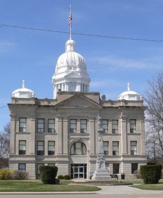
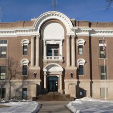
Kearney County, Administrative county in central Nebraska, United States

Description

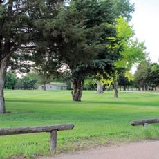
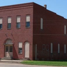
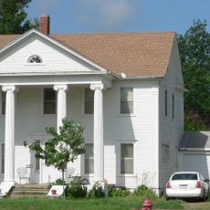
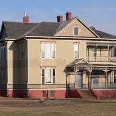
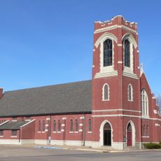
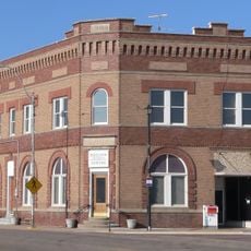
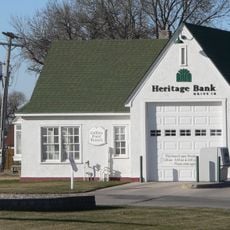
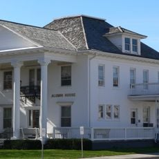
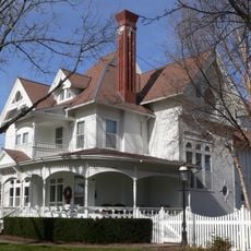
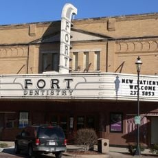
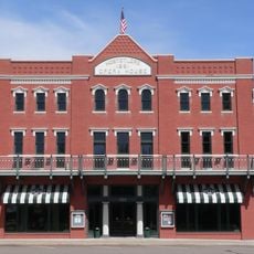
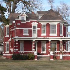
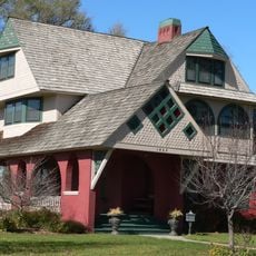
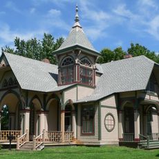
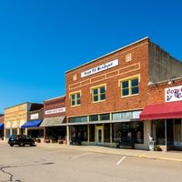
Kearney County is an administrative county spanning central Nebraska with multiple small communities scattered across its land area. The region is connected by roads and includes the county seat along with several other towns.

History

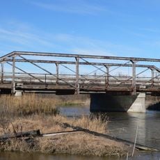
The county was established in 1860 and named after Fort Kearney, a military post that played a role in westward settlement. This founding marked the beginning of organized settlement in the central Nebraska region.

Culture

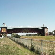
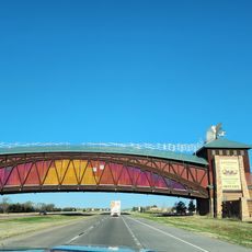
The communities here maintain strong ties to farming and agricultural life, visible in how people spend their time and celebrate together. Local traditions reflect the rhythm of seasons and crop cycles that shape daily routines.

Practical

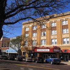
The county is easily accessible via Interstate 80, which connects the region to major routes across Nebraska. The county seat provides basic services and facilities for both visitors and residents.

Did you know?

The region bears the name of a military post that protected settlers moving west, reflecting its place in expansion history. This connection to pioneering times remains woven into how the area is remembered and identified.

Location
Inception
1860
Capital city
Minden
Shares border with
Buffalo County, Franklin County, Phelps County, Harlan County, Adams County, Webster County
GPS coordinates
40.51000,-98.95000
Latest update
December 10, 2025 15:46

AroundUs brings together thousands of curated places, local tips, and hidden gems, enriched daily by 60,000 contributors worldwide. Discover all places nearby (Nebraska).

Around this place
Fort Kearny
United States of America

Fort Kearny

16.1 km
Great Platte River Road Archway Monument
United States of America

Great Platte River Road Archway Monument

19.3 km
Pioneer Village
United States of America

Pioneer Village

592 m
The Great Platte River Road Archway
United States of America

The Great Platte River Road Archway

19.3 km
Museum of Nebraska Art
United States of America

Museum of Nebraska Art

23.8 km
George W. Frank House
United States of America

George W. Frank House

25.1 km
Salem Swedish Methodist Episcopal Church
United States of America

Salem Swedish Methodist Episcopal Church

20.3 km
Kearney County Courthouse
United States of America

Kearney County Courthouse

1.2 km
IOOF Hall and Opera House
United States of America

IOOF Hall and Opera House

36.6 km
Kinner House
United States of America

Kinner House

37.4 km
George Meisner House
United States of America

George Meisner House

36.6 km
Saint Luke's Protestant Episcopal Church
United States of America

Saint Luke's Protestant Episcopal Church

24.9 km
Meisner Bank Building
United States of America

Meisner Bank Building

35.2 km
United States of America

Minden United States Post Office

1.3 km
Gloe Brothers Service Station
United States of America

Gloe Brothers Service Station

46 km
Dr. A.O. Thomas House
United States of America

Dr. A.O. Thomas House

24.3 km
John Barnd House
United States of America

John Barnd House

24.3 km
Phelps County Courthouse
United States of America

Phelps County Courthouse

36.4 km
Fort Theatre
United States of America

Fort Theatre

23.7 km
W. T. Thorne Building
United States of America

W. T. Thorne Building

1.2 km
Eddie Eugene and Harriet Cotton Carpenter Farmstead
United States of America

Eddie Eugene and Harriet Cotton Carpenter Farmstead

17.2 km
United States of America

William Cather Homestead Site

40.8 km
John J. and Lenora Bartlett House
United States of America

John J. and Lenora Bartlett House

23.3 km
Hanson-Downing House
United States of America

Hanson-Downing House

24.1 km
Klehm House
United States of America

Klehm House

24.2 km
World Theatre
United States of America

World Theatre

23.8 km
Turkey Creek Bridge
United States of America

Turkey Creek Bridge

40.5 km
Kilgore Bridge
United States of America

Kilgore Bridge

19.3 km
Show the full map
Administrative divisions
« Kearney County - Administrative county in central Nebraska, United States » is provided by Around Us (aroundus.com). Images and texts are derived from Wikimedia project under a Creative Commons license. You are allowed to copy, distribute, and modify copies of this page, under the conditions set by the license, as long as this note is clearly visible.

Discover hidden gems everywhere you go!

From secret cafés to breathtaking viewpoints, skip the crowded tourist spots and find places that match your style. Our app makes it easy with voice search, smart filtering, route optimization, and insider tips from travelers worldwide. Download now for the complete mobile experience.

Around Us App Screenshot

A unique approach to discovering new places

Le Figaro

All the places worth exploring

France Info

A tailor-made excursion in just a few clicks

20 Minutes

Around Us
Travel Guide & Maps
Download

Send to your phone

QR Code
1

Open the camera app on your mobile.

2

Point at the QR code with your camera. A notification will appear.

3

Tap the notification to open the link.