Washington County

Log in to your account

AroundUs is a community-driven map of interesting places, built by curious explorers like you. It grows with every review, story, and photo you share.
Connect to save your favorite spots, contribute locations, and create personalized routes.
Continue with Google
Continue with Apple
Continue with X
Continue with Facebook
Continue with email
By continuing, you accept our Terms and Conditions and our Privacy Policy
Create an account
Add to collection
Map
Suggest a change
Share

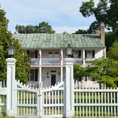
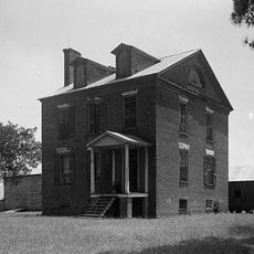
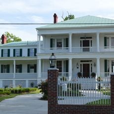
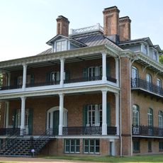
Washington County, Administrative county in North Carolina, United States.

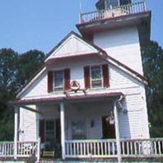
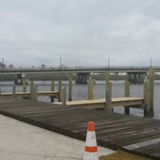
Washington County is an administrative county in North Carolina with both land and water areas creating a varied landscape. The territory includes several communities and natural habitats that define the region.

The county was established in 1799 from the western portion of neighboring Tyrrell County. It was named to honor the first United States president.

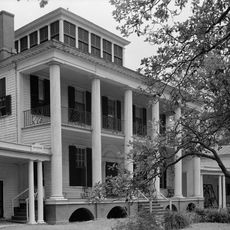
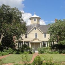
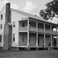
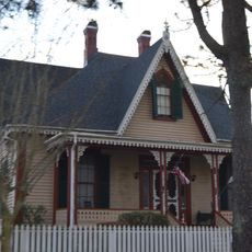
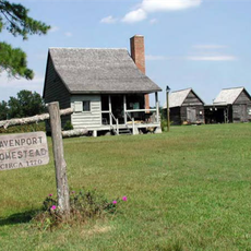
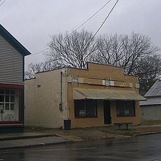
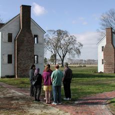
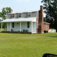
The area is divided into four townships—Lees Mill, Plymouth, Scuppernong, and Skinnersville—each shaping local traditions and community life. These communities give the region its character through their everyday activities and gathering places.

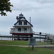
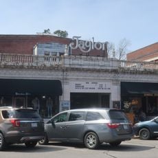
Plymouth serves as the county seat and hosts the main government offices and services for the area. Visitors should head there to access administrative information or learn about local resources.

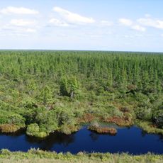
The Pocosin Lakes National Wildlife Refuge spans portions of the county and protects habitats for many native animal species. This protected area makes the region a key location for local wildlife conservation.

Location: North Carolina

Inception: 1799

Capital city: Plymouth

Shares border with: Chowan County, Beaufort County, Perquimans County, Tyrrell County, Hyde County, Martin County, Bertie County

Website: http://washconc.org

GPS coordinates: 35.84000,-76.56000

Latest update: December 7, 2025 20:22

Photos
Around this place
Hayes Plantation
United States of America

Hayes Plantation

23.7 km
Pocosin Lakes National Wildlife Refuge
United States of America

Pocosin Lakes National Wildlife Refuge

10.9 km
Roanoke River Light
United States of America

Roanoke River Light

24.5 km
Cupola House
United States of America

Cupola House

24.7 km
Edenton Historic District
United States of America

Edenton Historic District

24.9 km
St. Paul's Church, Edenton
United States of America

St. Paul's Church, Edenton

25.1 km
Barker House
United States of America

Barker House

24.5 km
Chowan County Courthouse
United States of America

Chowan County Courthouse

24.6 km
James Iredell House
United States of America

James Iredell House

24.9 km
Latham House
United States of America

Latham House

17.1 km
Athol
United States of America

Athol

19.1 km
Belgrade and St. David's Church
United States of America

Belgrade and St. David's Church

16.3 km
Strawberry Hill
United States of America

Strawberry Hill

24.8 km
Mulberry Hill
United States of America

Mulberry Hill

19.1 km
Pembroke Hall
United States of America

Pembroke Hall

24.7 km
Wessington House
United States of America

Wessington House

24.8 km
Sandy Point
United States of America

Sandy Point

19.4 km
Perry-Spruill House
United States of America

Perry-Spruill House

17.3 km
Davenport House
United States of America

Davenport House

10.4 km
Edenton Cotton Mill Historic District
United States of America

Edenton Cotton Mill Historic District

24.5 km
Scuppernong River Bridge
United States of America

Scuppernong River Bridge

28.8 km
Creswell Historic District
United States of America

Creswell Historic District

15.3 km
Roanoke River Light
United States of America

Roanoke River Light

24.5 km
Somerset Place State Historic Site
United States of America

Somerset Place State Historic Site

15.2 km
Taylor Twin Cinema
United States of America

Taylor Twin Cinema

24.8 km
Lane House
United States of America

Lane House

24.7 km
Myers-White House
United States of America

Myers-White House

32.6 km
Tyrrell County Visitor Center
United States of America

Tyrrell County Visitor Center

28.9 km
Show the full map
Reviews

Visited this place? Tap the stars to rate it and share your experience / photos with the community! Try now! You can cancel it anytime.

Administrative divisions
« Washington County - Administrative county in North Carolina, United States » is provided by Around Us (aroundus.com). Images and texts are derived from Wikimedia project under a Creative Commons license. You are allowed to copy, distribute, and modify copies of this page, under the conditions set by the license, as long as this note is clearly visible.

Discover hidden gems everywhere you go!

From secret cafés to breathtaking viewpoints, skip the crowded tourist spots and find places that match your style. Our app makes it easy with voice search, smart filtering, route optimization, and insider tips from travelers worldwide. Download now for the complete mobile experience.

Around Us App Screenshot

A unique approach to discovering new places

Le Figaro

All the places worth exploring

France Info

A tailor-made excursion in just a few clicks

20 Minutes