Enable Location

We need your location to show you interesting places around you

Discover nearby places

Find interesting locations and hidden gems around you

Precise directions

Get accurate directions and distances to places

Your location is never shared with other users. It's only used when you tap the location button.

Randolph County

Log in to your account

Start exploring — it's free

Trusted by 62,036 travelers worldwide

Continue with Google
Continue with Apple
or

We will send you a code to connect

By continuing, you accept our Terms and Conditions and our Privacy Policy

Check your inbox

We've sent a pincode in your inbox. Please enter the code below.

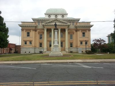
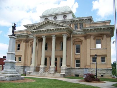
Randolph County, County in central North Carolina, United States.

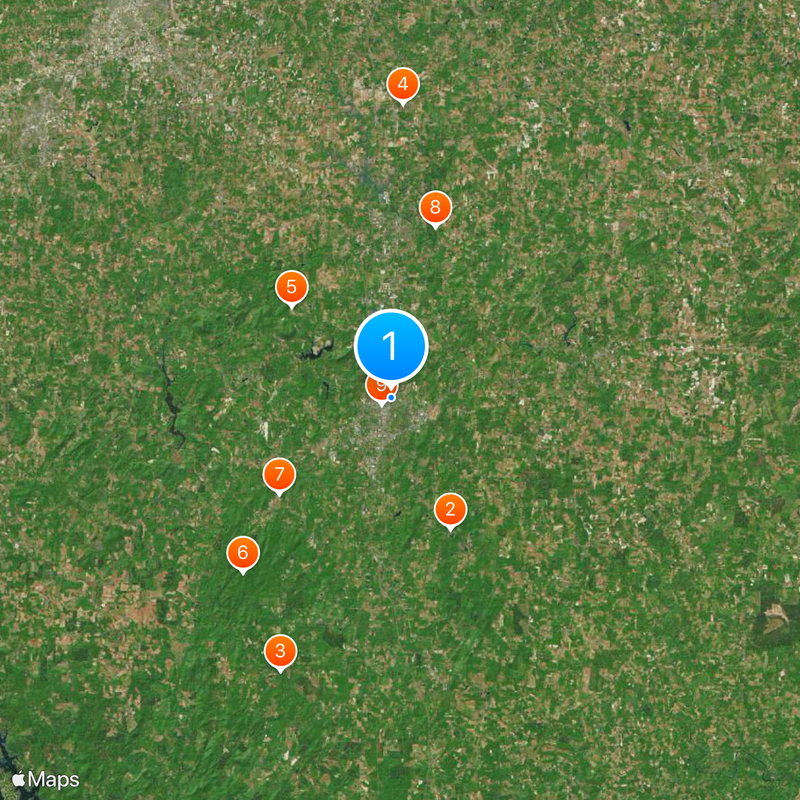
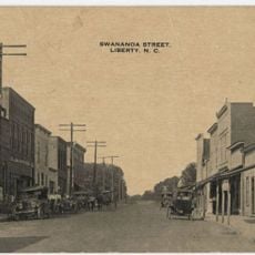
Randolph County is a county in central North Carolina that spreads across land between the cities of Asheboro, Archdale, Liberty, and Randleman. The territory is connected by roads that link its various towns and communities together.

The area was established in 1779 as a separate county from Guilford County and took its name from Peyton Randolph, the first president of the Continental Congress. This naming choice honors a key figure from the American independence movement.

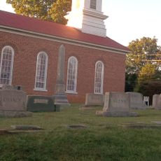
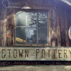
Twenty different townships maintain their individual traditions through regular community gatherings, agricultural fairs, and local craft exhibitions across the county.

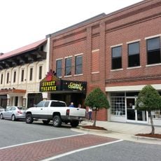
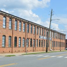
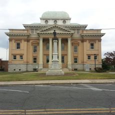
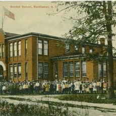
Asheboro, the county seat, serves as the center for government services, schools, and shopping. The town offers well-developed facilities and services that connect the region together.

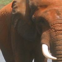
The area is home to a major zoo where animals from North America and Africa live in large natural habitats. This park draws many visitors to the region.

The community of curious travelers

AroundUs brings together thousands of curated places, local tips, and hidden gems, enriched daily by 60,000 contributors worldwide.

Start exploring
Location
Inception
1779
Capital city
Asheboro
Shares border with
Guilford County, Alamance County, Chatham County, Moore County, Montgomery County, Davidson County
GPS coordinates
35.71000,-79.81000
Latest update
December 20, 2025 01:28
Around this place
North Carolina Zoo
United States of America

North Carolina Zoo

9.9 km
Pisgah Covered Bridge
United States of America

Pisgah Covered Bridge

20.2 km
United States of America

Richard Petty Museum

20.1 km
United States of America

Caraway Speedway

9.2 km
United States of America

Birkhead Mountains Wilderness

15.6 km
United States of America

North Carolina Aviation Museum

10.1 km
United States of America

Randleman Lake

12.1 km
Sunset Theater
United States of America

Sunset Theater

742 m
Asheboro Hosiery Mills and Cranford Furniture Company Complex
United States of America

Asheboro Hosiery Mills and Cranford Furniture Company Complex

869 m
Wilson Kindley Farm and Kindley Mine
United States of America

Wilson Kindley Farm and Kindley Mine

15.1 km
Lewis-Thornburg Farm
United States of America

Lewis-Thornburg Farm

16 km
Marley House
United States of America

Marley House

23.7 km
United States of America

Harper House

25 km
United States of America

Central School

580 m
United States of America

Skeen's Mill Covered Bridge

17.6 km
Liberty Historic District
United States of America

Liberty Historic District

26.9 km
Randolph County Courthouse
United States of America

Randolph County Courthouse

527 m
Moses Hammond House
United States of America

Moses Hammond House

27.2 km
Coleridge Historic District
United States of America

Coleridge Historic District

19.2 km
St. Paul's Methodist Episcopal Church South
United States of America

St. Paul's Methodist Episcopal Church South

12.5 km
Randleman Graded School
United States of America

Randleman Graded School

12.1 km
Franklinville Historic District
United States of America

Franklinville Historic District

15.1 km
Shadrach Lambeth House
United States of America

Shadrach Lambeth House

27.5 km
North Carolina Pottery Center
United States of America

North Carolina Pottery Center

18.9 km
United States of America

Back Creek Lake

6 km
United States of America

Wheatmore Pond

25.6 km
Jugtown Pottery
United States of America

Jugtown Pottery

26.7 km
United States of America

Dodsons Lake

24.8 km
Show the full map
Administrative divisions
« Randolph County - County in central North Carolina, United States » is provided by Around Us (aroundus.com). Images and texts are derived from Wikimedia project under a Creative Commons license. You are allowed to copy, distribute, and modify copies of this page, under the conditions set by the license, as long as this note is clearly visible.

Discover hidden gems everywhere you go!

From secret cafés to breathtaking viewpoints, skip the crowded tourist spots and find places that match your style. Our app makes it easy with voice search, smart filtering, route optimization, and insider tips from travelers worldwide. Download now for the complete mobile experience.

Around Us App Screenshot

A unique approach to discovering new places

Le Figaro

All the places worth exploring

France Info

A tailor-made excursion in just a few clicks

20 Minutes

Around Us
Travel Guide & Maps
Download

Send to your phone

QR Code
1

Open the camera app on your mobile.

2

Point at the QR code with your camera. A notification will appear.

3

Tap the notification to open the link.