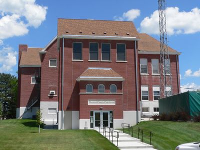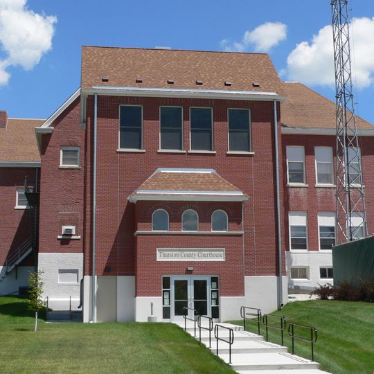
Thurston County, County seat in eastern Nebraska, United States.
Thurston County spans across eastern Nebraska with Pender as its administrative center, featuring agricultural lands and residential communities at coordinates 42.16° N, 96.55° W.
The county formation occurred in 1865 during post-Civil War expansion, while Pender was established twenty years later in 1885, named after Scottish businessman John Pender.
The Heritage Museum of Thurston County in Pender presents exhibitions about local history, featuring collections that document the development of the region through artifacts.
Veterans Memorial Park at 610 Main Street in Pender provides public gathering spaces and commemorative monuments, while local services support daily community needs.
A 2016 United States Supreme Court decision confirmed Pender's location within the boundaries of the Omaha Indian Reservation, affecting jurisdictional matters.
Location: Nebraska
Inception: 1865
Capital city: Pender
Shares border with: Dakota County, Burt County, Cuming County, Dixon County, Wayne County, Monona County, Woodbury County
GPS coordinates: 42.16000,-96.55000
Latest update: March 9, 2025 06:54
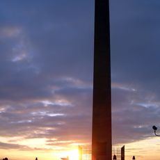
Sergeant Floyd Monument
36.5 km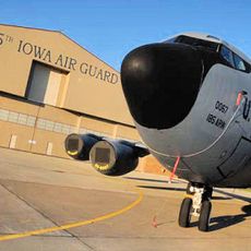
Sioux City Air National Guard Base
30.3 km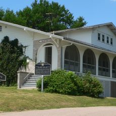
Dr. Susan LaFlesche Picotte Memorial Hospital
4.7 km
Sioux City Air Defense Sector
30.2 km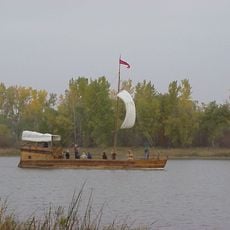
Lewis and Clark State Park
34.2 km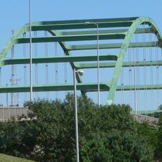
Siouxland Veterans Memorial Bridge
38.1 km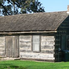
Theophile Bruguier Cabin
38 km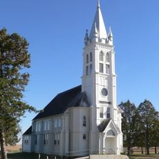
St. John's German Evangelical Lutheran Church
30.9 km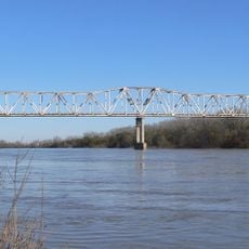
Burt County Missouri River Bridge
30.6 km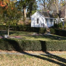
John G. Neihardt State Historic Site
16.7 km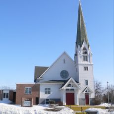
Swedish Evangelical Lutheran Salem Church
28.4 km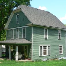
Susan La Flesche Picotte House
5 km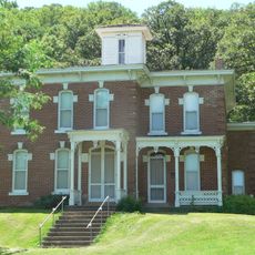
Cornelius O'Connor House
18.3 km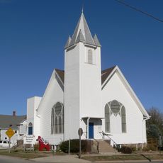
Swedish Heritage Center
36.8 km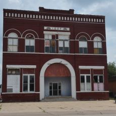
Onawa IOOF Opera House
40.3 km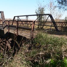
Rattlesnake Creek Bridge
13.9 km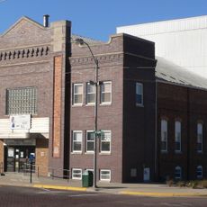
West Point City Auditorium
37.9 km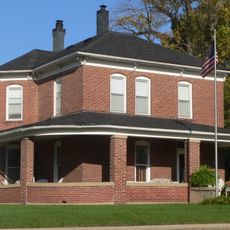
Julius and Anine Oversen House
38.4 km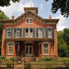
Newell A. Whiting House
40.1 km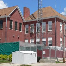
Thurston County Courthouse
14.1 km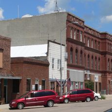
First Thurston County Courthouse
13.9 km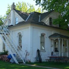
Meisch House
36.7 km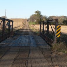
North Omaha Creek Bridge
4.1 km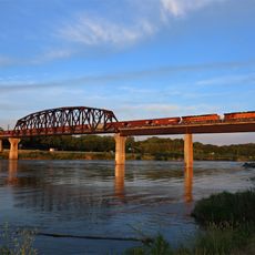
Sioux City Bridge Company
37.6 km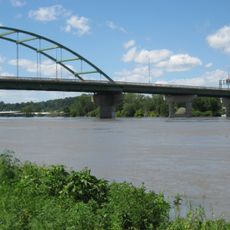
Bridge
38.1 km
BNSF Sioux City Bridge
37.5 km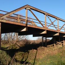
North Omaha Creek Bridge
3.5 km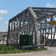
Logan Creek Bridge
13.6 kmReviews
Visited this place? Tap the stars to rate it and share your experience / photos with the community! Try now! You can cancel it anytime.
Discover hidden gems everywhere you go!
From secret cafés to breathtaking viewpoints, skip the crowded tourist spots and find places that match your style. Our app makes it easy with voice search, smart filtering, route optimization, and insider tips from travelers worldwide. Download now for the complete mobile experience.

A unique approach to discovering new places❞
— Le Figaro
All the places worth exploring❞
— France Info
A tailor-made excursion in just a few clicks❞
— 20 Minutes
