Thurston County

Log in to your account

AroundUs is a community-driven map of interesting places, built by curious explorers like you. It grows with every review, story, and photo you share.
Connect to save your favorite spots, contribute locations, and create personalized routes.
Continue with Google
Continue with Apple
Continue with X
Continue with Facebook
Continue with email
By continuing, you accept our Terms and Conditions and our Privacy Policy
Create an account
Add to collection
Map
Suggest a change
Share

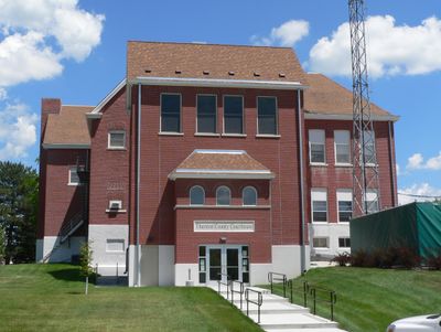
Thurston County, County seat in eastern Nebraska, United States.

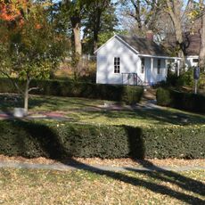
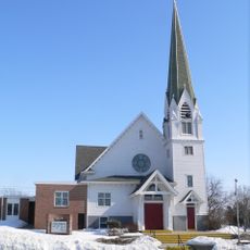
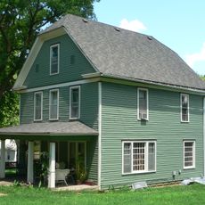
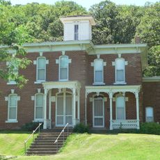
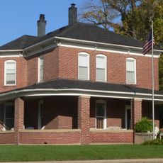
Thurston County is an administrative region in eastern Nebraska with Pender as its administrative center, where agricultural lands and residential communities are distributed. The area is located at coordinates 42.16° N, 96.55° W.

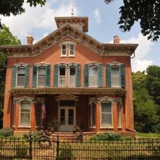
The region was established in 1865 during post-Civil War expansion, and Pender was founded 20 years later in 1885. The town was named after Scottish businessman John Pender.

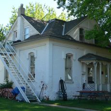
The Heritage Museum in Pender displays regional collections that show how the area developed over time. Visitors can see objects that reflect the daily lives of earlier residents.

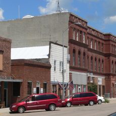
Veterans Memorial Park on Main Street in Pender offers public gathering spaces and commemorative monuments. Local services support the daily needs of visitors and residents.

A 2016 US Supreme Court decision confirmed that Pender lies within the boundaries of the Omaha Indian Reservation, affecting local jurisdiction. This makes the legal situation in the town notably complex.

Location: Nebraska

Inception: 1865

Capital city: Pender

Shares border with: Dakota County, Burt County, Cuming County, Dixon County, Wayne County, Monona County, Woodbury County

GPS coordinates: 42.16000,-96.55000

Latest update: December 7, 2025 20:26

Photos
Around this place
Sergeant Floyd Monument
United States of America

Sergeant Floyd Monument

36.5 km
Sioux City Air National Guard Base
United States of America

Sioux City Air National Guard Base

30.3 km
Dr. Susan LaFlesche Picotte Memorial Hospital
United States of America

Dr. Susan LaFlesche Picotte Memorial Hospital

4.7 km
Sioux City Air Defense Sector
United States of America

Sioux City Air Defense Sector

30.2 km
Lewis and Clark State Park
United States of America

Lewis and Clark State Park

34.2 km
Siouxland Veterans Memorial Bridge
United States of America

Siouxland Veterans Memorial Bridge

38.1 km
Theophile Bruguier Cabin
United States of America

Theophile Bruguier Cabin

38 km
St. John's German Evangelical Lutheran Church
United States of America

St. John's German Evangelical Lutheran Church

30.9 km
Burt County Missouri River Bridge
United States of America

Burt County Missouri River Bridge

30.6 km
John G. Neihardt State Historic Site
United States of America

John G. Neihardt State Historic Site

16.7 km
Swedish Evangelical Lutheran Salem Church
United States of America

Swedish Evangelical Lutheran Salem Church

28.4 km
Susan La Flesche Picotte House
United States of America

Susan La Flesche Picotte House

5 km
Cornelius O'Connor House
United States of America

Cornelius O'Connor House

18.3 km
Swedish Heritage Center
United States of America

Swedish Heritage Center

36.8 km
Onawa IOOF Opera House
United States of America

Onawa IOOF Opera House

40.3 km
Rattlesnake Creek Bridge
United States of America

Rattlesnake Creek Bridge

13.9 km
West Point City Auditorium
United States of America

West Point City Auditorium

37.9 km
Julius and Anine Oversen House
United States of America

Julius and Anine Oversen House

38.4 km
Newell A. Whiting House
United States of America

Newell A. Whiting House

40.1 km
Thurston County Courthouse
United States of America

Thurston County Courthouse

14.1 km
First Thurston County Courthouse
United States of America

First Thurston County Courthouse

13.9 km
Meisch House
United States of America

Meisch House

36.7 km
North Omaha Creek Bridge
United States of America

North Omaha Creek Bridge

4.1 km
Sioux City Bridge Company
United States of America

Sioux City Bridge Company

37.6 km
Bridge
United States of America

Bridge

38.1 km
BNSF Sioux City Bridge
United States of America

BNSF Sioux City Bridge

37.5 km
North Omaha Creek Bridge
United States of America

North Omaha Creek Bridge

3.5 km
Logan Creek Bridge
United States of America

Logan Creek Bridge

13.6 km
Show the full map
Reviews

Visited this place? Tap the stars to rate it and share your experience / photos with the community! Try now! You can cancel it anytime.

Administrative divisions
« Thurston County - County seat in eastern Nebraska, United States » is provided by Around Us (aroundus.com). Images and texts are derived from Wikimedia project under a Creative Commons license. You are allowed to copy, distribute, and modify copies of this page, under the conditions set by the license, as long as this note is clearly visible.

Discover hidden gems everywhere you go!

From secret cafés to breathtaking viewpoints, skip the crowded tourist spots and find places that match your style. Our app makes it easy with voice search, smart filtering, route optimization, and insider tips from travelers worldwide. Download now for the complete mobile experience.

Around Us App Screenshot

A unique approach to discovering new places

Le Figaro

All the places worth exploring

France Info

A tailor-made excursion in just a few clicks

20 Minutes