Enable Location

We need your location to show you interesting places around you

Discover nearby places

Find interesting locations and hidden gems around you

Precise directions

Get accurate directions and distances to places

Your location is never shared with other users. It's only used when you tap the location button.

Lawrence County

Log in to your account

Start exploring — it's free

Trusted by 61,875 travelers worldwide

Continue with Google
Continue with Apple
or

We will send you a code to connect

By continuing, you accept our Terms and Conditions and our Privacy Policy

Check your inbox

We've sent a pincode in your inbox. Please enter the code below.

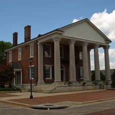
Lawrence County, Administrative county in northwest Alabama, United States

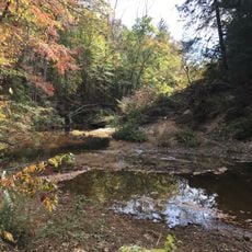
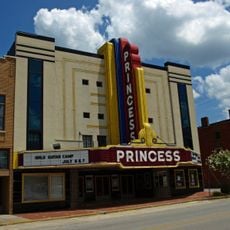
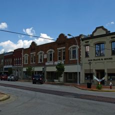
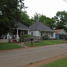
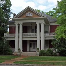
Lawrence County is an administrative region in northwest Alabama that covers oak forests, limestone valleys, and waterways including a section of the Tennessee River. The landscape includes various natural features and smaller towns such as Moulton, which serves as the administrative center.

The region was established on February 6, 1818, by the Alabama Territorial Legislature and named after Captain James Lawrence from the War of 1812. This founding was part of the early administrative development of the territory.

The Jesse Owels Memorial Park in Oakville honors the Olympic athlete through a museum, visitor center, and statue, reflecting his deep ties to the community. The place draws visitors interested in learning about his impact and connection to the region.

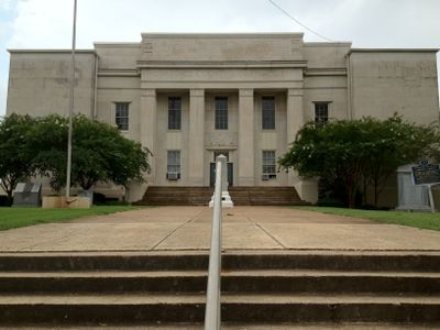
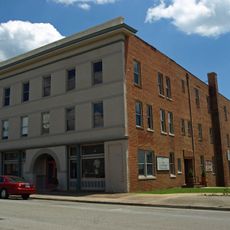
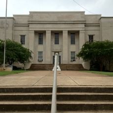
The Circuit Clerk office is located at the Judicial Center in Moulton and handles civil cases, domestic relations, and traffic matters. Visitors can access official documents or handle administrative concerns at this location.

The Oakville Indian Mounds are prehistoric earthen structures from the Mississippian culture, with a museum displaying artifacts from this ancient period. The site offers insight into how the region was inhabited long before European arrival.

The community of curious travelers

AroundUs brings together thousands of curated places, local tips, and hidden gems, enriched daily by 60,000 contributors worldwide.

Start exploring
Location
Inception
February 6, 1818
Capital city
Moulton
Shares border with
Limestone County, Colbert County, Morgan County, Lauderdale County, Winston County, Franklin County, Cullman County
GPS coordinates
34.52139,-87.31028
Latest update
December 7, 2025 10:08
Around this place
Sipsey Wilderness
United States of America

Sipsey Wilderness

25.4 km
William B. Bankhead National Forest
United States of America

William B. Bankhead National Forest

26.2 km
Wheeler Dam
United States of America

Wheeler Dam

32.5 km
Wheeler Lake
United States of America

Wheeler Lake

32.6 km
Bride's Hill
United States of America

Bride's Hill

17.6 km
Joseph Wheeler Plantation
United States of America

Joseph Wheeler Plantation

15 km
Goode-Hall House
United States of America

Goode-Hall House

23.8 km
United States of America

Norfolk Southern Tennessee River Bridge

32.1 km
Princess Theatre
United States of America

Princess Theatre

31.2 km
Rhea-McEntire House
United States of America

Rhea-McEntire House

31.7 km
State Bank Building, Decatur Branch
United States of America

State Bank Building, Decatur Branch

31.7 km
The Oaks
United States of America

The Oaks

31 km
John McMahon House
United States of America

John McMahon House

16.4 km
Cotaco Opera House
United States of America

Cotaco Opera House

31.1 km
Boxwood Plantation Slave Quarter
United States of America

Boxwood Plantation Slave Quarter

22 km
Old Brick Presbyterian Church
United States of America

Old Brick Presbyterian Church

34 km
Thomas Holland House
United States of America

Thomas Holland House

12.7 km
Clyde Carter House
United States of America

Clyde Carter House

36 km
Preuit Oaks
United States of America

Preuit Oaks

25 km
Ice House
United States of America

Ice House

4.7 km
New Decatur–Albany Historic District
United States of America

New Decatur–Albany Historic District

31.2 km
Moulton Courthouse Square Historic District
United States of America

Moulton Courthouse Square Historic District

4.8 km
Bank Street–Old Decatur Historic District
United States of America

Bank Street–Old Decatur Historic District

31.4 km
East Old Town Historic District
United States of America

East Old Town Historic District

31.5 km
West Old Town Historic District
United States of America

West Old Town Historic District

30.9 km
Joe Wheeler State Park
United States of America

Joe Wheeler State Park

33.1 km
Carnegie Visual Art Center
United States of America

Carnegie Visual Art Center

31.7 km
Albany Heritage Neighborhood Historic District
United States of America

Albany Heritage Neighborhood Historic District

31.7 km
Show the full map
« Lawrence County - Administrative county in northwest Alabama, United States » is provided by Around Us (aroundus.com). Images and texts are derived from Wikimedia project under a Creative Commons license. You are allowed to copy, distribute, and modify copies of this page, under the conditions set by the license, as long as this note is clearly visible.

Discover hidden gems everywhere you go!

From secret cafés to breathtaking viewpoints, skip the crowded tourist spots and find places that match your style. Our app makes it easy with voice search, smart filtering, route optimization, and insider tips from travelers worldwide. Download now for the complete mobile experience.

Around Us App Screenshot

A unique approach to discovering new places

Le Figaro

All the places worth exploring

France Info

A tailor-made excursion in just a few clicks

20 Minutes

Around Us
Travel Guide & Maps
Download

Send to your phone

QR Code
1

Open the camera app on your mobile.

2

Point at the QR code with your camera. A notification will appear.

3

Tap the notification to open the link.