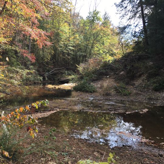
Sipsey Wilderness, Protected wilderness area in northwestern Alabama, United States.
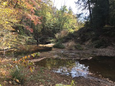
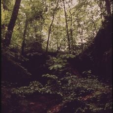
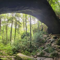
Sipsey Wilderness covers 24,922 acres (10,086 ha) of the Brindlee Mountain plateau in Bankhead National Forest, cut by creeks and rivers into a rough landscape of limestone and sandstone layers. The Sipsey Fork of the Black Warrior River runs through it, and dozens of waterfalls drop over the rock ledges. Old-growth stands of Eastern Hemlock, American Beech, Sweet Birch, White Oak and Tulip Poplar survive along Bee Branch Gorge and Buck Rough Canyon.
The area was established with protected status in 1975, marking a turning point for conservation in the eastern United States. This was the first officially designated wilderness east of the Mississippi River.
The Sipsey Wilderness Hiking Club promotes hiking in the area, and a trail map is sold by the U.S. Forest Service. Near the Bee Branch gorge, a small cave behind a waterfall was mined for saltpeter, the main ingredient of gunpowder; a skirmish was fought at nearby Hubbard's cotton mill during the American Civil War.
Visitors can access the wilderness through several marked trailheads with paths of varying length and difficulty. The best visiting conditions occur in warmer months when water crossings are easier to navigate and weather remains stable.
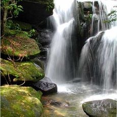
The area is known for its numerous waterfalls created by limestone and sandstone formations. This feature led to the nickname 'Land of 1000 Waterfalls,' though the actual number of waterfalls often surprises visitors exploring the terrain.
The community of curious travelers
AroundUs brings together thousands of curated places, local tips, and hidden gems, enriched daily by 93,031 contributors worldwide.