McLean County, Administrative county seat in western Kentucky, United States.
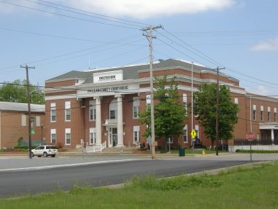
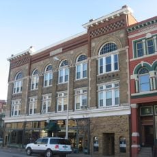
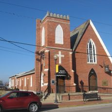
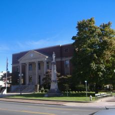
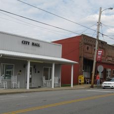
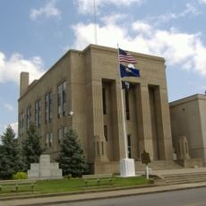
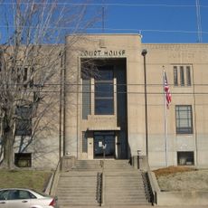
McLean County is an administrative county in western Kentucky, United States, with Calhoun as its county seat. The county sits along the northern bank of the Green River, which forms much of its southern boundary.
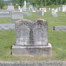
McLean County was formed in 1854 from parts of Daviess, Ohio, and Muhlenberg Counties. The Green River had already drawn settlers to the area before the county was officially established.
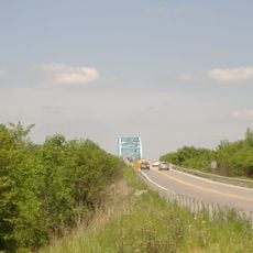
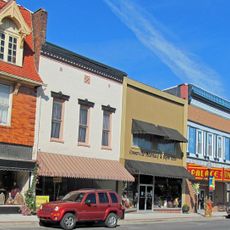
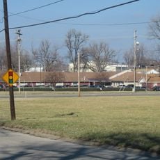
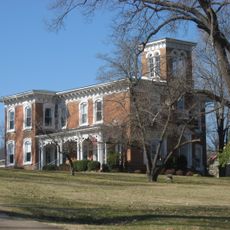
The Green River runs through the heart of the county and has shaped how people settled and farmed the land around Calhoun. Tobacco and soy fields still cover much of the countryside, giving the area a distinctly rural feel.
The county is best reached by car, as public transport in this part of western Kentucky is very limited. Kentucky Route 81 is the main road through Calhoun and connects the area to larger towns to the north and south.
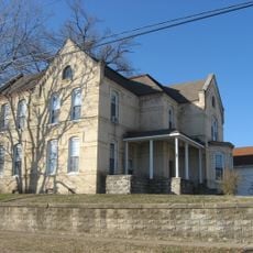
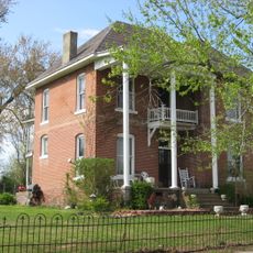
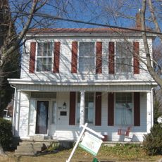
Calhoun, the county seat, was named after the South Carolina senator John C. Calhoun but is spelled differently from his surname. Before settling on this name, the town went through two earlier names: Rhoadsville and then Fort Vienna.
The community of curious travelers
AroundUs brings together thousands of curated places, local tips, and hidden gems, enriched daily by 60,000 contributors worldwide.