Magoffin County

Log in to your account

AroundUs is a community-driven map of interesting places, built by curious explorers like you. It grows with every review, story, and photo you share.
Connect to save your favorite spots, contribute locations, and create personalized routes.
Continue with Google
Continue with Apple
Continue with X
Continue with Facebook
Continue with email
By continuing, you accept our Terms and Conditions and our Privacy Policy
Create an account
Add to collection
Map
Suggest a change
Share

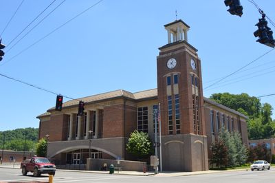
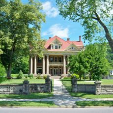
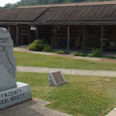
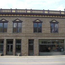
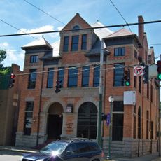
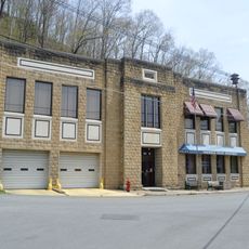
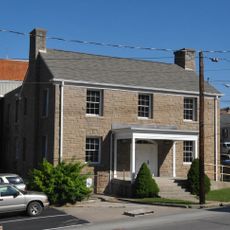
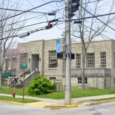
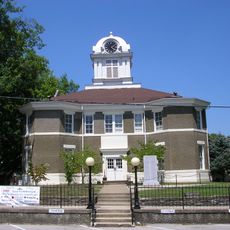
Magoffin County, County administration center in Salyersville, Kentucky, US.

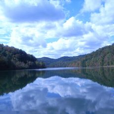
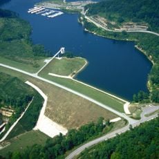
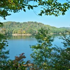
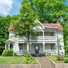
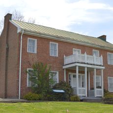
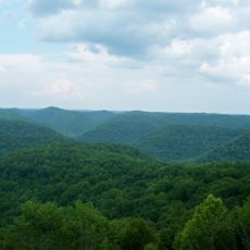
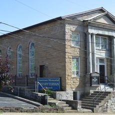
Magoffin County is an administrative region in eastern Kentucky's Appalachian landscape, where forested hillsides and river valleys characterize the terrain. The county encompasses several small communities with Salyersville serving as the administrative hub.

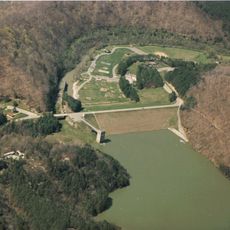
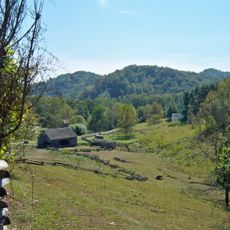
The county was created in 1860 by combining territories from three neighboring counties into a new administrative unit. The region later shifted from oil production to relying on coal mining as a primary economic activity.

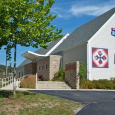
The county's schools serve as gathering places where families build connections and participate in local events throughout the year. These institutions reflect the pride residents take in supporting their young people and strengthening community bonds.

The region is best explored by driving through back roads and visiting small towns where you can experience the rural character firsthand. Schools and public buildings in Salyersville serve as good landmarks for getting oriented in the area.

The area was once a major oil production region before shifting to coal mining, now operating just a single mine. This economic transformation reflects how local communities adapted to changing times.

Location: Kentucky

Inception: February 22, 1860

Capital city: Salyersville

Shares border with: Morgan County, Johnson County, Floyd County, Knott County, Breathitt County, Wolfe County

Website: http://magoffincounty.ky.gov

GPS coordinates: 37.70000,-83.06000

Latest update: December 7, 2025 10:07

Photos
Around this place
United States of America

Eastern Kentucky Coal Field region

5.9 km
Jenny Wiley State Resort Park
United States of America

Jenny Wiley State Resort Park

29.5 km
U.S. 23 Country Music Highway Museum
United States of America

U.S. 23 Country Music Highway Museum

24.1 km
Dewey Lake
United States of America

Dewey Lake

29.5 km
Paintsville Lake
United States of America

Paintsville Lake

22.2 km
Mayo Mansion
United States of America

Mayo Mansion

25.7 km
Paintsville Lake State Park
United States of America

Paintsville Lake State Park

22.8 km
Mountain Homeplace
United States of America

Mountain Homeplace

22.4 km
Francis M. Stafford House
United States of America

Francis M. Stafford House

25.6 km
Samuel May House
United States of America

Samuel May House

24.7 km
Robinson Forest
United States of America

Robinson Forest

26.3 km
Magoffin County Pioneer Village and Museum
United States of America

Magoffin County Pioneer Village and Museum

5.7 km
First United Methodist Church
United States of America

First United Methodist Church

25.4 km
Johnson County Public Library
United States of America

Johnson County Public Library

25.5 km
Salyersville National Bank
United States of America

Salyersville National Bank

5.9 km
David McKenzie Log Cabin
United States of America

David McKenzie Log Cabin

24.1 km
First National Bank Building
United States of America

First National Bank Building

25.7 km
Methodist Episcopal Church, South
United States of America

Methodist Episcopal Church, South

25.5 km
Paintsville City Hall
United States of America

Paintsville City Hall

26 km
Breathitt County Jail
United States of America

Breathitt County Jail

32.9 km
Paintsville Public Library Building
United States of America

Paintsville Public Library Building

25.7 km
M.E. Church, South
United States of America

M.E. Church, South

32.9 km
H.B. Rice Insurance Building
United States of America

H.B. Rice Insurance Building

25.6 km
Judge John E. Cooper House
United States of America

Judge John E. Cooper House

30.5 km
Front Street Historic District
United States of America

Front Street Historic District

25.4 km
Jackson Commercial District
United States of America

Jackson Commercial District

33 km
Fitzpatrick-Harmon House
United States of America

Fitzpatrick-Harmon House

25.6 km
Morgan County Courthouse
United States of America

Morgan County Courthouse

30 km
Show the full map
Reviews

Visited this place? Tap the stars to rate it and share your experience / photos with the community! Try now! You can cancel it anytime.

« Magoffin County - County administration center in Salyersville, Kentucky, US » is provided by Around Us (aroundus.com). Images and texts are derived from Wikimedia project under a Creative Commons license. You are allowed to copy, distribute, and modify copies of this page, under the conditions set by the license, as long as this note is clearly visible.

Discover hidden gems everywhere you go!

From secret cafés to breathtaking viewpoints, skip the crowded tourist spots and find places that match your style. Our app makes it easy with voice search, smart filtering, route optimization, and insider tips from travelers worldwide. Download now for the complete mobile experience.

Around Us App Screenshot

A unique approach to discovering new places

Le Figaro

All the places worth exploring

France Info

A tailor-made excursion in just a few clicks

20 Minutes