Enable Location

We need your location to show you interesting places around you

Discover nearby places

Find interesting locations and hidden gems around you

Precise directions

Get accurate directions and distances to places

Your location is never shared with other users. It's only used when you tap the location button.

Wakulla County

Log in to your account

Start exploring — it's free

Trusted by 61,668 travelers worldwide

Continue with Google
Continue with Apple
or

We will send you a code to connect

By continuing, you accept our Terms and Conditions and our Privacy Policy

Check your inbox

We've sent a pincode in your inbox. Please enter the code below.

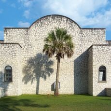
Wakulla County, Administrative county in northern Florida, US

Description

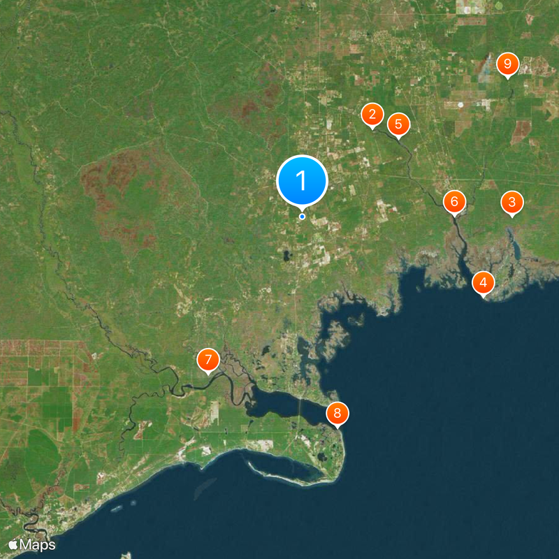
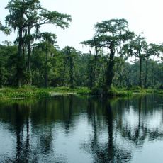
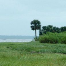
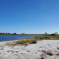
Wakulla County is an administrative region in northern Florida located in the Big Bend area, spanning several hundred square miles. The landscape is marked by extensive water features and shares borders with Leon and Franklin counties.

History

The area took its name from Timucuan words meaning water source or mysterious waters. It was established in 1843 and has been part of Florida's structure ever since.

Culture

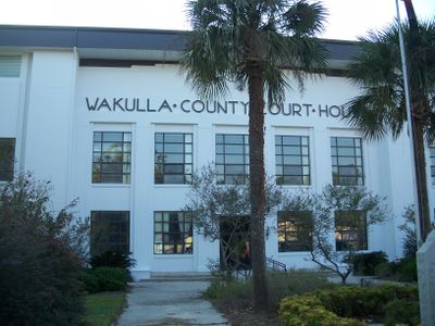
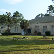
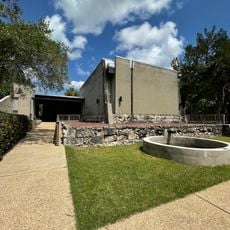
The community here centers around Crawfordville, a small administrative hub where locals gather for local matters and daily errands. The tight-knit nature of this place means residents know each other through these everyday interactions.

Practical

County services are accessible through the website mywakulla.com, where visitors can find information about local facilities and services. Crawfordville serves as the main administrative hub and provides good orientation for exploring the area.

Did you know?

Crawfordville is one of only two county seats across all of Florida that remains unincorporated as a city. This makes it unusual among the state's 67 counties.

Location
Inception
March 11, 1843
Capital city
Crawfordville
Reference
12-129
Shares border with
Leon County, Liberty County, Franklin County, Jefferson County
GPS coordinates
30.15000,-84.38000
Latest update
December 20, 2025 00:06

AroundUs brings together thousands of curated places, local tips, and hidden gems, enriched daily by 60,000 contributors worldwide. Discover all places nearby (Florida).

Around this place
Wakulla Springs
United States of America

Wakulla Springs

12.1 km
St. Marks National Wildlife Refuge
United States of America

St. Marks National Wildlife Refuge

22.4 km
St. Marks Light
United States of America

St. Marks Light

21.1 km
Edward Ball Wakulla Springs State Park
United States of America

Edward Ball Wakulla Springs State Park

13.3 km
San Marcos de Apalache Historic State Park
United States of America

San Marcos de Apalache Historic State Park

16.3 km
Ochlockonee River State Park
United States of America

Ochlockonee River State Park

19.6 km
United States of America

Bald Point State Park

22.8 km
Natural Bridge Battlefield Historic State Park
United States of America

Natural Bridge Battlefield Historic State Park

26.5 km
United States of America

Wakulla State Forest

14.1 km
United States of America

Yent Mound

27.9 km
United States of America

Bradwell Bay Wilderness

17 km
United States of America

Fort Ward

16.3 km
Old Sopchoppy High School Gymnasium
United States of America

Old Sopchoppy High School Gymnasium

14.9 km
Shell Point Beach
United States of America

Shell Point Beach

13.2 km
Old Wakulla County Courthouse
United States of America

Old Wakulla County Courthouse

2.8 km
Sopchoppy School
United States of America

Sopchoppy School

15.1 km
Mount Beasor Primitive Baptist Church
United States of America

Mount Beasor Primitive Baptist Church

14.6 km
United States of America

George Nesmith Bridge

20.2 km
San Marcos de Apalache Historic State Park
United States of America

San Marcos de Apalache Historic State Park

16.3 km
United States of America

Davis Bluff

31.2 km
United States of America

Lewis Bluff

24.4 km
United States of America

Apalachicola Wildlife Management Area

28.2 km
Wilson Beach
United States of America

Wilson Beach

25.3 km
United States of America

Observation Deck

22.5 km

Palaver Tree Theater

3.2 km
United States of America

Alligator Point

27.7 km
United States of America

Jesus

3.5 km
United States of America

Statue, Work of art

16.6 km
Show the full map
Administrative divisions
« Wakulla County - Administrative county in northern Florida, US » is provided by Around Us (aroundus.com). Images and texts are derived from Wikimedia project under a Creative Commons license. You are allowed to copy, distribute, and modify copies of this page, under the conditions set by the license, as long as this note is clearly visible.

Discover hidden gems everywhere you go!

From secret cafés to breathtaking viewpoints, skip the crowded tourist spots and find places that match your style. Our app makes it easy with voice search, smart filtering, route optimization, and insider tips from travelers worldwide. Download now for the complete mobile experience.

Around Us App Screenshot

A unique approach to discovering new places

Le Figaro

All the places worth exploring

France Info

A tailor-made excursion in just a few clicks

20 Minutes

Around Us
Travel Guide & Maps
Download

Send to your phone

QR Code
1

Open the camera app on your mobile.

2

Point at the QR code with your camera. A notification will appear.

3

Tap the notification to open the link.