·

Enable Location

We need your location to show you interesting places around you

Discover nearby places

Find interesting locations and hidden gems around you

Precise directions

Get accurate directions and distances to places

Your location is never shared with other users. It's only used when you tap the location button.

Carroll County

Log in to your account

Start exploring — it's free

Trusted by 62,746 travelers worldwide

Continue with Google
Continue with Apple
or

We will send you a code to connect

By continuing, you accept our Terms and Conditions and our Privacy Policy

Check your inbox

We've sent a pincode in your inbox. Please enter the code below.

Carroll County, Administrative division in western Tennessee, United States

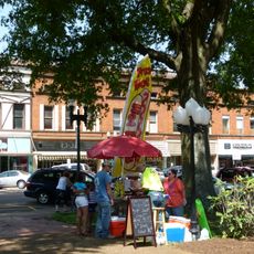
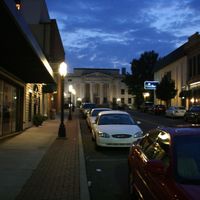
Carroll County is an administrative division in western Tennessee that encompasses farmland, forested areas, and scattered residential communities. Huntingdon serves as its county seat and anchors the region with local government services and community facilities.

Carroll County was established in 1821 by the Tennessee General Assembly and named in honor of Governor William Carroll. The formation reflected early territorial organization during Tennessee's development as a state.

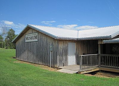
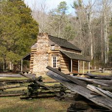
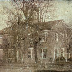
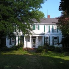
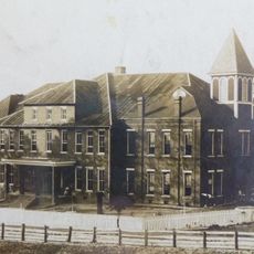
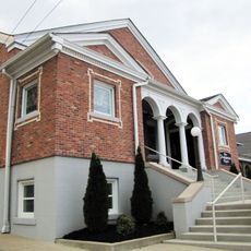
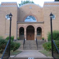
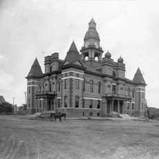
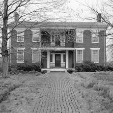
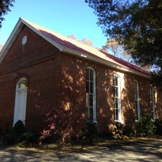
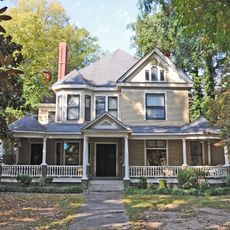
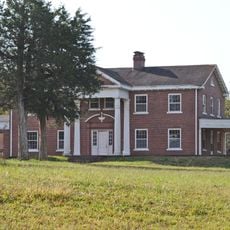
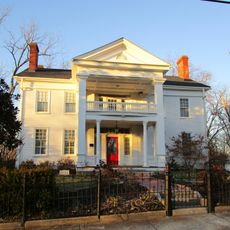
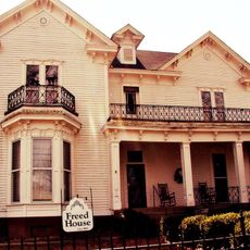
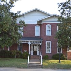
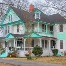
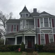
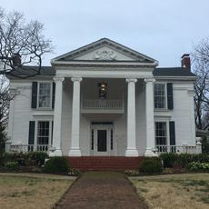
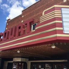
The county maintains several buildings listed in the National Register of Historic Places, reflecting the architectural heritage of Tennessee's early settlements.

A regional airport located four miles northwest of Huntingdon provides options for private aviation users. Most visitors should plan to explore this rural area by car to reach different communities and attractions.

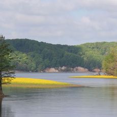
A large recreational lake dominates the landscape and kept its original name after residents submitted petitions to preserve it in 2022. This reflects how local communities shape and hold onto their geographic identity.

The community of curious travelers

AroundUs brings together thousands of curated places, local tips, and hidden gems, enriched daily by 60,000 contributors worldwide.

Start exploring
Location
Inception
November 7, 1821
Capital city
Huntingdon
Shares border with
Henry County, Henderson County, Benton County, Decatur County, Weakley County, Madison County, Gibson County
GPS coordinates
35.98000,-88.45000
Latest update
December 7, 2025 19:29
Around this place
Eiffel Tower
United States of America

Eiffel Tower

36.7 km
Natchez Trace State Park
United States of America

Natchez Trace State Park

27.3 km
Tennessee National Wildlife Refuge
United States of America

Tennessee National Wildlife Refuge

45.2 km
William Thompson House
United States of America

William Thompson House

32.8 km
Henry County Courthouse
United States of America

Henry County Courthouse

37.6 km
Oakslea Place
United States of America

Oakslea Place

51 km
Robert E. Lee School
United States of America

Robert E. Lee School

37.8 km
First Cumberland Presbyterian Church-McKenzie
United States of America

First Cumberland Presbyterian Church-McKenzie

18.2 km
Temple B'Nai Israel
United States of America

Temple B'Nai Israel

51.8 km
Gibson County Courthouse
United States of America

Gibson County Courthouse

44.3 km
Porter House
United States of America

Porter House

37.3 km
Long Rock Methodist Episcopal Church, South
United States of America

Long Rock Methodist Episcopal Church, South

8.9 km
Ross-Sewell House
United States of America

Ross-Sewell House

51.4 km
The Cedars
United States of America

The Cedars

47.3 km
West Paris Historic District
United States of America

West Paris Historic District

37.6 km
Julius Freed House
United States of America

Julius Freed House

44 km
Paris Commercial Historic District
United States of America

Paris Commercial Historic District

37.6 km
United States of America

US Post Office

44.3 km
Thompsie Edwards House
United States of America

Thompsie Edwards House

37.3 km
Col. Robert Z. Taylor House
United States of America

Col. Robert Z. Taylor House

44.3 km
United States of America

Medina City Hall

35.4 km
Dodson House
United States of America

Dodson House

45.4 km
Senter-Rooks House
United States of America

Senter-Rooks House

44.8 km
Eva Site
United States of America

Eva Site

43.3 km
Parker's Crossroads Visitor Center
United States of America

Parker's Crossroads Visitor Center

22.1 km
Nathan Bedford Forrest State Park
United States of America

Nathan Bedford Forrest State Park

44.5 km
Tennessee River Freshwater Pearl Museum and Cabin Rentals
United States of America

Tennessee River Freshwater Pearl Museum and Cabin Rentals

36.2 km
Court Theatre
United States of America

Court Theatre

3 km
Show the full map
Administrative divisions
« Carroll County - Administrative division in western Tennessee, United States » is provided by Around Us (aroundus.com). Images and texts are derived from Wikimedia project under a Creative Commons license. You are allowed to copy, distribute, and modify copies of this page, under the conditions set by the license, as long as this note is clearly visible.

Discover hidden gems everywhere you go!

From secret cafés to breathtaking viewpoints, skip the crowded tourist spots and find places that match your style. Our app makes it easy with voice search, smart filtering, route optimization, and insider tips from travelers worldwide. Download now for the complete mobile experience.

Around Us App Screenshot

A unique approach to discovering new places

Le Figaro

All the places worth exploring

France Info

A tailor-made excursion in just a few clicks

20 Minutes

Around Us
Travel Guide & Maps
Download

Send to your phone

QR Code
1

Open the camera app on your mobile.

2

Point at the QR code with your camera. A notification will appear.

3

Tap the notification to open the link.