Burnett County, County in northwestern Wisconsin, United States.
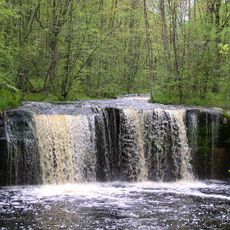
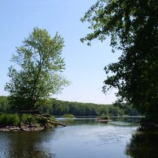
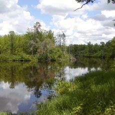
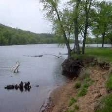
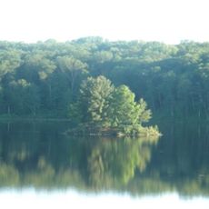
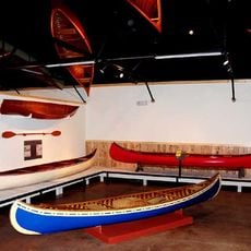
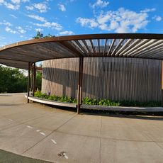
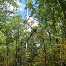
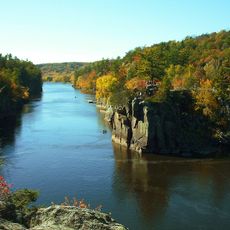
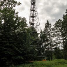
Burnett County is a county in northwestern Wisconsin shaped by thousands of lakes, dense forests, and interconnected waterways. The landscape provides year-round opportunities for fishing, canoeing, hiking, and other outdoor pursuits across its diverse terrain.
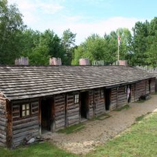
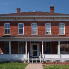
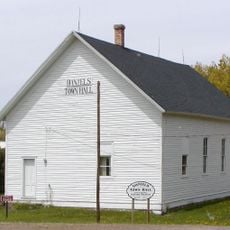
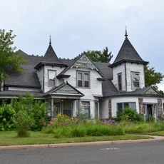
Burnett County was established in 1865 as northwestern Wisconsin developed after the Civil War. Agricultural settlement and logging operations quickly transformed the landscape and economy of the region.
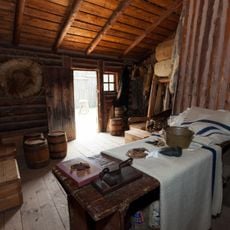
The Ojibwe communities have shaped life here for generations, and their cultural traditions remain visible in local gatherings and everyday practices throughout the region. Archaeological sites across the county tell stories of this long-standing connection.
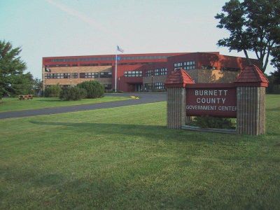
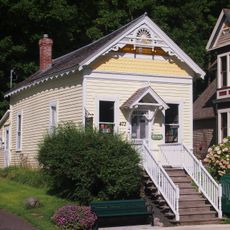
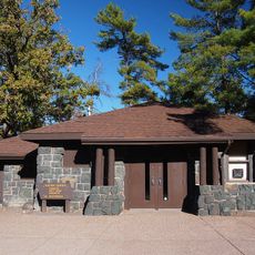
Siren serves as the county seat and main hub for services, with medical facilities and schools distributed across different communities. The area is largely rural, so having a vehicle is helpful for exploring the lakes, trails, and natural areas.
Winter brings a seasonal network of snowmobile trails that connect communities and natural areas across the county. This extensive trail system becomes a central part of how people travel and explore during the snowy months.
The community of curious travelers
AroundUs brings together thousands of curated places, local tips, and hidden gems, enriched daily by 60,000 contributors worldwide.