St. Croix State Park

Log in to your account

AroundUs is a community-driven map of interesting places, built by curious explorers like you. It grows with every review, story, and photo you share.
Connect to save your favorite spots, contribute locations, and create personalized routes.
Continue with Google
Continue with Apple
Continue with X
Continue with Facebook
Continue with email
By continuing, you accept our Terms and Conditions and our Privacy Policy
Create an account
Add to collection
Map
Suggest a change
Share

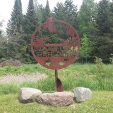
St. Croix State Park, State park in Pine County, United States

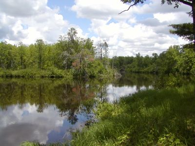
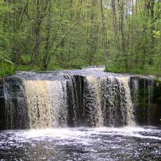
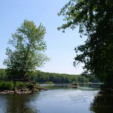
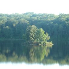
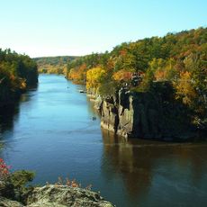
St. Croix State Park is a large protected forest area along a river in Minnesota spanning over 30,000 acres. The park extends for many miles along the St. Croix River and also includes sections of the nearby Kettle River.

The park was established in 1934 as a recreational area during the New Deal, created to provide jobs and give the public access to nature. This initiative helped many people during difficult economic times while protecting the land.

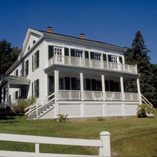
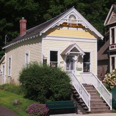
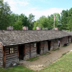
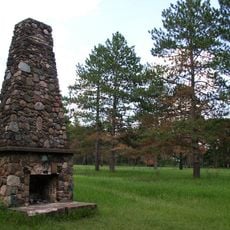
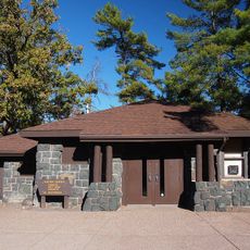
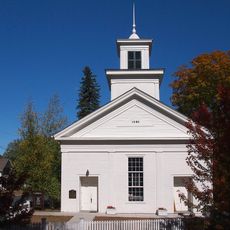
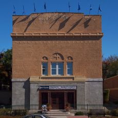
The park holds more than 160 buildings from the 1930s, constructed by workers during the New Deal era. These structures shape the park's character today and tell the story of a time when employment and land conservation worked together.

The park offers over 200 miles of trails for hiking, horseback riding, and mountain biking through different types of landscape. Visitors should plan for the park as a large area and bring appropriate footwear and gear depending on their chosen activity.

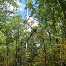
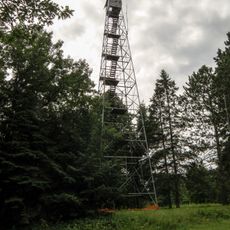
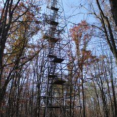
A 134-step observation tower gives visitors a view of different forest layers, while informational signs explain the tree species and habitats below. This vantage point reveals how the forest appears and functions from different heights.

Location: Pine County

Inception: 1943

Operator: Minnesota Department of Natural Resources

Address: 30065 St. Croix Park Road, Hinckley, MN 55037

Phone: +13202807880

Email: stcroix.statepark@state.mn.us

Website: https://dnr.state.mn.us/state_parks/park.html?id=spk00253#homepage

GPS coordinates: 45.97420,-92.58360

Latest update: December 9, 2025 18:42

Photos
Around this place
Banning State Park
United States of America

Banning State Park

29.8 km
Wild River State Park
United States of America

Wild River State Park

53.1 km
Willard Munger State Trail
United States of America

Willard Munger State Trail

55 km
Moose Lake State Park
United States of America

Moose Lake State Park

53.4 km
Straight Lake State Park
United States of America

Straight Lake State Park

43.2 km
Folsom House
United States of America

Folsom House

64.1 km
Taylors Falls Public Library
United States of America

Taylors Falls Public Library

63.7 km
Wisconsin Canoe Heritage Museum
United States of America

Wisconsin Canoe Heritage Museum

56.4 km
Kanabec County Courthouse
United States of America

Kanabec County Courthouse

56 km
Snake River Fur Post
United States of America

Snake River Fur Post

39.7 km
Polk County Courthouse
United States of America

Polk County Courthouse

59 km
Goose Creek
United States of America

Goose Creek

52.2 km
Arthyde Stone House
United States of America

Arthyde Stone House

57.6 km
Mrs. Richard Polson House
United States of America

Mrs. Richard Polson House

56.9 km
Thomas Henry Thompson House
United States of America

Thomas Henry Thompson House

63.1 km
Daniels Town Hall
United States of America

Daniels Town Hall

24.3 km
George V. Siegner House
United States of America

George V. Siegner House

55.9 km
Hinckley Fire Museum
United States of America

Hinckley Fire Museum

28.2 km
Snake River Fur Post State Historic Site
United States of America

Snake River Fur Post State Historic Site

37.2 km
St. Croix Recreational Demonstration Area
United States of America

St. Croix Recreational Demonstration Area

4 km
St. Croix State Park Fire Tower
United States of America

St. Croix State Park Fire Tower

11.4 km
Interstate Park
United States of America

Interstate Park

64.1 km
Interstate State Park WPA/Rustic Style Historic Resources
United States of America

Interstate State Park WPA/Rustic Style Historic Resources

64.1 km
Rush City Aquatic Center
United States of America

Rush City Aquatic Center

43.7 km
Nickerson Lookout Tower
United States of America

Nickerson Lookout Tower

47.1 km
Angel's Hill Historic District
United States of America

Angel's Hill Historic District

64.1 km
Auditorium Theatre
United States of America

Auditorium Theatre

62.8 km
Pomroy Lookout Tower
United States of America

Pomroy Lookout Tower

46.7 km
Show the full map
Reviews

Visited this place? Tap the stars to rate it and share your experience / photos with the community! Try now! You can cancel it anytime.

« St. Croix State Park - State park in Pine County, United States » is provided by Around Us (aroundus.com). Images and texts are derived from Wikimedia project under a Creative Commons license. You are allowed to copy, distribute, and modify copies of this page, under the conditions set by the license, as long as this note is clearly visible.

Discover hidden gems everywhere you go!

From secret cafés to breathtaking viewpoints, skip the crowded tourist spots and find places that match your style. Our app makes it easy with voice search, smart filtering, route optimization, and insider tips from travelers worldwide. Download now for the complete mobile experience.

Around Us App Screenshot

A unique approach to discovering new places

Le Figaro

All the places worth exploring

France Info

A tailor-made excursion in just a few clicks

20 Minutes