Pine County, Administrative county in east-central Minnesota, United States.
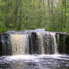
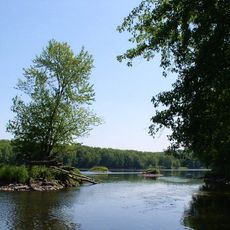
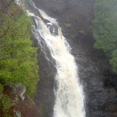
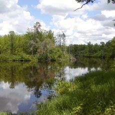
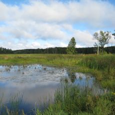
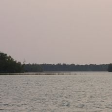
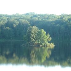
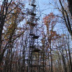
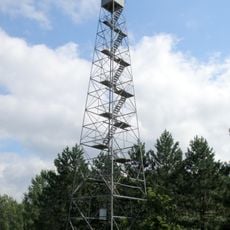
Pine County is an administrative division in east-central Minnesota encompassing forested terrain, lakes, and river valleys that shape the local geography. The region contains several communities connected by state highways and features significant water resources throughout its landscape.
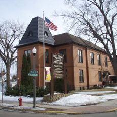
Minnesota's legislature established this county in 1856, making Pine City its administrative center. The creation formalized governance over the region and facilitated settlement patterns in the area.
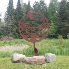
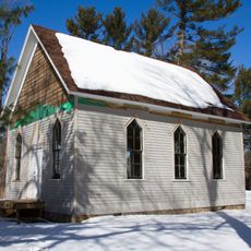
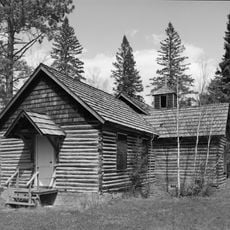
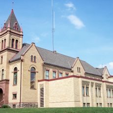
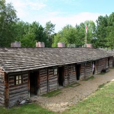
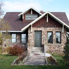
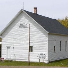
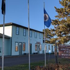
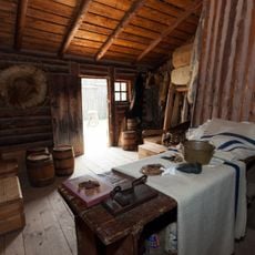
The county maintains strong connections to both Native American heritage and European settlement patterns through its preservation of historical sites.
Interstate 35 and several state highways cross through the county connecting its towns and outdoor recreation areas. These main routes make it straightforward to navigate between communities and access the region's attractions.
A portion of the Saint Croix National Scenic Riverway flows through the county, creating protected waterways popular with paddlers and nature enthusiasts. This natural feature draws visitors who want to experience river-based recreation.
Location: Minnesota
Inception: March 1, 1856
Capital city: Pine City
Shares border with: Carlton County, Aitkin County, Chisago County, Burnett County, Douglas County, Isanti County, Kanabec County
Website: http://co.pine.mn.us
GPS coordinates: 46.14000,-92.74000
Latest update: December 7, 2025 19:29
Banning State Park
9.2 km
Wild River State Park
70.6 km
Pattison State Park
64.1 km
St. Croix State Park
22.1 km
Big Manitou Falls
64.8 km
Father Hennepin State Park
57.7 km
Moose Lake State Park
33.6 km
Mille Lacs National Wildlife Refuge
64.6 km
Straight Lake State Park
64.7 km
Fond du Lac State Forest
59.9 km
Svenska Mission Kyrka I Sodre Maple Ridge
69.7 km
Church of Sts. Joseph and Mary-Catholic
61.1 km
Ogilvie Watertower
63.4 km
Isanti County Courthouse
73.7 km
Kanabec County Courthouse
51.8 km
Snake River Fur Post
43.2 km
Goose Creek
63 km
Arthyde Stone House
36 km
Daniels Town Hall
46 km
Hinckley Fire Museum
21 km
Solana State Forest
40.5 km
Snake River Fur Post State Historic Site
41.3 km
St. Croix State Park Fire Tower
21.2 km
St. Croix Recreational Demonstration Area
24.4 km
Nickerson Lookout Tower
33 km
White Pine Lookout Tower
42.9 km
Pomroy Lookout Tower
38.1 km
Rusheba Lookout Tower
51.3 kmVisited this place? Tap the stars to rate it and share your experience / photos with the community! Try now! You can cancel it anytime.
Discover hidden gems everywhere you go!
From secret cafés to breathtaking viewpoints, skip the crowded tourist spots and find places that match your style. Our app makes it easy with voice search, smart filtering, route optimization, and insider tips from travelers worldwide. Download now for the complete mobile experience.
A unique approach to discovering new places❞
— Le Figaro
All the places worth exploring❞
— France Info
A tailor-made excursion in just a few clicks❞
— 20 Minutes