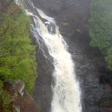
Big Manitou Falls, Waterfall in Pattison State Park, Wisconsin, United States
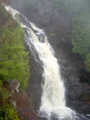
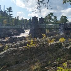
Big Manitou Falls is a waterfall where the Black River plunges approximately 165 feet through layers of exposed sandstone bedrock in a series of drops. The water tumbles through a deep gorge surrounded by steep reddish rock walls that form a dramatic setting.
The area became a state park in 1927 after the Paterson family settled in the region and later made the land accessible to the public. This action marked the transformation of a natural area into a protected space for visitors.
The name Manitou comes from the Ojibwe language and means spirit or supernatural force, reflecting the spiritual connection indigenous peoples held with this place. Visitors today can sense how this location has been viewed as a significant landmark in the landscape for centuries.
The main viewpoint sits near the visitor center and is easy to reach on foot, while additional trails along the cliff edge offer different perspectives. Most paths are equipped with railings and well marked, allowing visitors of varying abilities to see the falls.
In winter months the water freezes into spectacular ice formations while the flow continues underneath through narrow channels in the frozen structure. This unusual combination of still ice and flowing water creates a completely different landscape compared to warmer seasons.
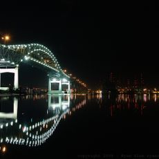
The community of curious travelers
AroundUs brings together thousands of curated places, local tips, and hidden gems, enriched daily by 60,000 contributors worldwide.