Enable Location

We need your location to show you interesting places around you

Discover nearby places

Find interesting locations and hidden gems around you

Precise directions

Get accurate directions and distances to places

Your location is never shared with other users. It's only used when you tap the location button.

Howell County

Log in to your account

Start exploring — it's free

Trusted by 61,976 travelers worldwide

Continue with Google
Continue with Apple
or

We will send you a code to connect

By continuing, you accept our Terms and Conditions and our Privacy Policy

Check your inbox

We've sent a pincode in your inbox. Please enter the code below.

Howell County, County in southern Missouri, United States

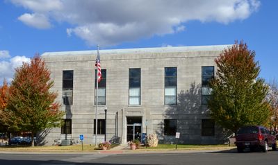
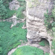
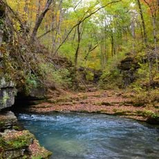
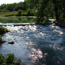
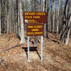
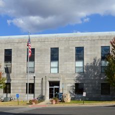
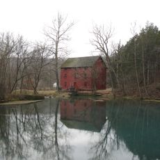
Howell County is an administrative region in southern Missouri covering approximately 928 square miles with West Plains serving as its main hub. The territory features the Mark Twain National Forest and hilly terrain interspersed with several smaller towns distributed across the landscape.

The region was established in 1857 from Oregon County and named after Josiah Howell, who created the first settlement in Howell Valley. These early foundations shaped how the towns developed and grew over the following decades.

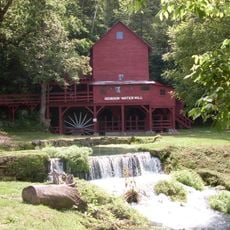
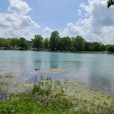
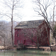
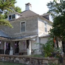
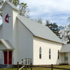
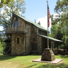
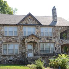
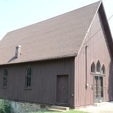
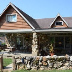
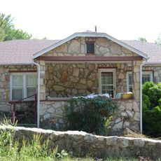
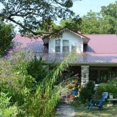
The area reflects its roots in rural traditions and outdoor living. You can see how communities maintain their connection to the land through everyday use of natural spaces and local gathering spots.

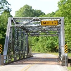
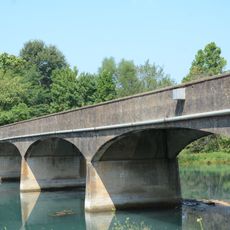
The area is connected by several major routes including U.S. Routes 60, 63, and 160 that link to larger cities and neighboring regions. This road network makes it easy to explore different parts of the county and reach nearby attractions.

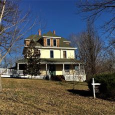
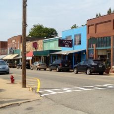
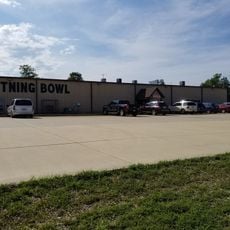
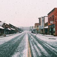
The region contains four independent cities - West Plains, Mountain View, Willow Springs, and Brandsville - each operating their own local government and services. This scattered arrangement means each town keeps its own identity rather than functioning as a single combined community.

The community of curious travelers

AroundUs brings together thousands of curated places, local tips, and hidden gems, enriched daily by 60,000 contributors worldwide.

Start exploring
Location
Inception
March 2, 1857
Capital city
West Plains
Shares border with
Texas County, Fulton County, Douglas County, Ozark County, Shannon County, Oregon County
GPS coordinates
36.77000,-91.89000
Latest update
December 7, 2025 20:20
Around this place
Mammoth Spring
United States of America

Mammoth Spring

43.8 km
Grand Gulf State Park
United States of America

Grand Gulf State Park

33.3 km
Greer Spring
United States of America

Greer Spring

48.4 km
Mammoth Spring State Park
United States of America

Mammoth Spring State Park

44 km
Hodgson-Aid Mill
United States of America

Hodgson-Aid Mill

34.3 km
Mammoth Spring State Park
United States of America

Mammoth Spring State Park

44 km
Bryant Creek State Park
United States of America

Bryant Creek State Park

47.8 km
Alley Spring Roller Mill
United States of America

Alley Spring Roller Mill

58.5 km
AR 289 Bridge Over English Creek
United States of America

AR 289 Bridge Over English Creek

46.1 km
David L. King House
United States of America

David L. King House

62.5 km
Camp Methodist Church
United States of America

Camp Methodist Church

42.1 km
John Conkin and Clara Layton Harlin House
United States of America

John Conkin and Clara Layton Harlin House

51.6 km
United States of America

Mount Zion Lodge Masonic Temple

5.9 km
Courthouse Square Historic District
United States of America

Courthouse Square Historic District

5.7 km
Old Kia Kima
United States of America

Old Kia Kima

60.9 km
Esther Locke House
United States of America

Esther Locke House

62.2 km
Spring River Bridge
United States of America

Spring River Bridge

46.1 km
Saint Andrew's Episcopal Church
United States of America

Saint Andrew's Episcopal Church

44.2 km
Thomas Walker House
United States of America

Thomas Walker House

62.4 km
Fred Carter House
United States of America

Fred Carter House

61.9 km
Hardy Downtown Historic District
United States of America

Hardy Downtown Historic District

62.3 km
County Line School and Lodge
United States of America

County Line School and Lodge

39.1 km
Lee Weaver House
United States of America

Lee Weaver House

62.5 km
William Shaver House
United States of America

William Shaver House

62 km
T.H. Morris House
United States of America

T.H. Morris House

43.6 km
Silas Sherrill House
United States of America

Silas Sherrill House

62.1 km
Alley Spring
United States of America

Alley Spring

58.5 km
Lightning Bowl
United States of America

Lightning Bowl

7.7 km
Show the full map
Administrative divisions
« Howell County - County in southern Missouri, United States » is provided by Around Us (aroundus.com). Images and texts are derived from Wikimedia project under a Creative Commons license. You are allowed to copy, distribute, and modify copies of this page, under the conditions set by the license, as long as this note is clearly visible.

Discover hidden gems everywhere you go!

From secret cafés to breathtaking viewpoints, skip the crowded tourist spots and find places that match your style. Our app makes it easy with voice search, smart filtering, route optimization, and insider tips from travelers worldwide. Download now for the complete mobile experience.

Around Us App Screenshot

A unique approach to discovering new places

Le Figaro

All the places worth exploring

France Info

A tailor-made excursion in just a few clicks

20 Minutes

Around Us
Travel Guide & Maps
Download

Send to your phone

QR Code
1

Open the camera app on your mobile.

2

Point at the QR code with your camera. A notification will appear.

3

Tap the notification to open the link.