Mitchell County, County seat district in western North Carolina, United States
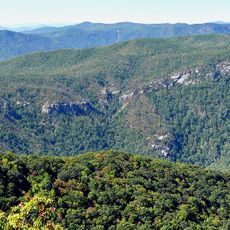
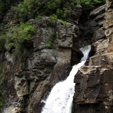
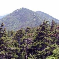
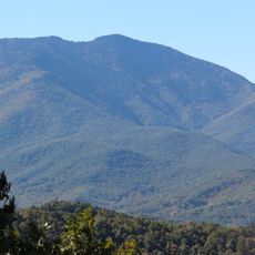
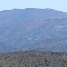
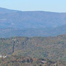
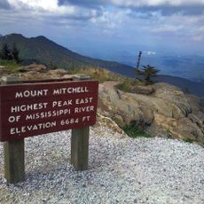
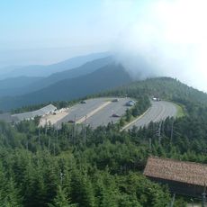
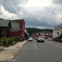
Mitchell County spreads across valleys and mountains in western North Carolina, with Bakersville serving as its administrative center at about 3,000 feet elevation. The region is shaped by rugged terrain that influences how residents live and work.
The county was established in 1861 during the Civil War, while Bakersville grew from a settlement David Baker started in 1790. These events show how the region developed from early settlement to formal government organization.
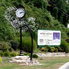
The Rhododendron Festival happens each June in Bakersville, celebrating mountain wildflowers through exhibitions and community gatherings. Locals share their connection to the landscape through seasonal celebrations that draw visitors to experience regional traditions.
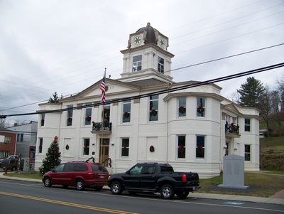
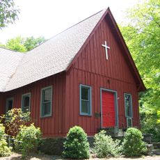
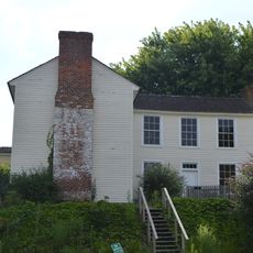
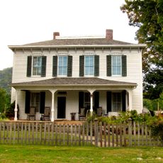
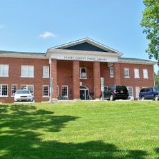
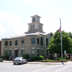
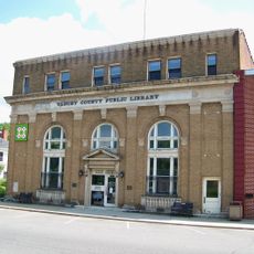
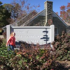
The Mitchell County Historical Society Museum displays regional artifacts in a former law office behind the county courthouse and welcomes public visits. The terrain is hilly throughout the area, so bring comfortable shoes and allow time to explore historical sites at a relaxed pace.
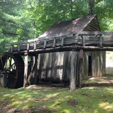
Mica was mined by Native Americans since prehistoric times, but the mineral's commercial value surged in the 1870s and transformed the local economy. This underground resource became central to the region's early development and brought workers seeking employment.
Location: North Carolina
Inception: 1861
Capital city: Bakersville
Shares border with: Carter County, Avery County, McDowell County, Yancey County, Unicoi County
Website: http://mitchellcounty.org
GPS coordinates: 36.01000,-82.16000
Latest update: December 7, 2025 10:08
Western North Carolina
23.1 km
Linville Falls
22 km
Mount Craig
27.4 km
Roan Mountain State Park
18.5 km
Mitchell Falls
28.5 km
Celo Knob
19.3 km
Roaring Fork Falls
27.2 km
Grassy Ridge Bald
12.3 km
Church of the Resurrection
18.8 km
Big Yellow Mountain
16.4 km
Bald Creek Historic District
26 kmWhiteoak Creek Falls
21.1 km
John Wesley McElroy House
16.4 km
Gillespie Gap
20.1 km
John T. Wilder House
22.2 km
Yancey Collegiate Institute Historic District
15.6 km
Downtown Spruce Pine Historic District
13.2 km
Yancey County Courthouse
16.4 km
Mitchell County Courthouse
664 m
Ray Wiseman House
19.7 km
Citizens Bank Building
16.4 km
Milligan Shuford Wise and Theron Colbert Dellinger Houses
20.7 km
Dellinger Mill
5.6 km
Franklin-Penland House
21.1 km
Mount Mitchell State Park
28.3 km
Museum of North Carolina Minerals
19.5 km
Mount Mitchell Museum
28.7 km
Linville Falls Visitor Center
21.8 kmVisited this place? Tap the stars to rate it and share your experience / photos with the community! Try now! You can cancel it anytime.
Discover hidden gems everywhere you go!
From secret cafés to breathtaking viewpoints, skip the crowded tourist spots and find places that match your style. Our app makes it easy with voice search, smart filtering, route optimization, and insider tips from travelers worldwide. Download now for the complete mobile experience.
A unique approach to discovering new places❞
— Le Figaro
All the places worth exploring❞
— France Info
A tailor-made excursion in just a few clicks❞
— 20 Minutes