Enable Location

We need your location to show you interesting places around you

Discover nearby places

Find interesting locations and hidden gems around you

Precise directions

Get accurate directions and distances to places

Your location is never shared with other users. It's only used when you tap the location button.

Rockcastle County

Log in to your account

Start exploring — it's free

Trusted by 62,994 travelers worldwide

Continue with Google
Continue with Apple
or

We will send you a code to connect

By continuing, you accept our Terms and Conditions and our Privacy Policy

Check your inbox

We've sent a pincode in your inbox. Please enter the code below.

Discussion Reviews 1 Photos
13.3k Popularity

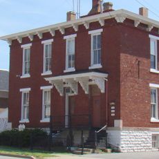
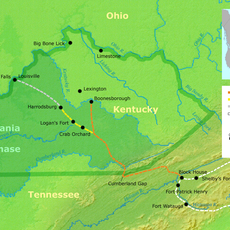
Rockcastle County, County administration area in southeastern Kentucky, US

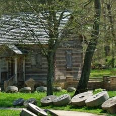
Rockcastle County sits in southeastern Kentucky and features rolling hills, deep valleys, and natural rock outcrops that shape the landscape. The Rockcastle River runs through the region, creating scenic passages and defining the terrain.

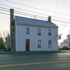
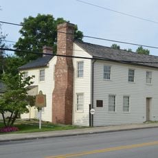
The county was formed in 1810 from sections of neighboring Lincoln and Madison counties. Its name comes from the Rockcastle River, which shaped early settlement and transportation through the area.

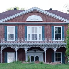
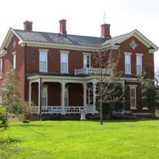
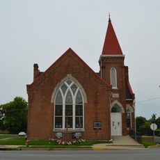
Life here centers on family, farming, and craftsmanship, values that shape how people gather and spend time together. You notice this in how the community stays connected through local events and shared respect for the land.

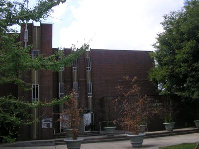
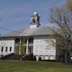
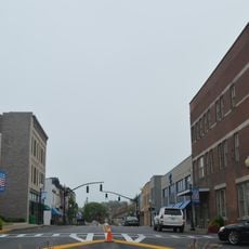
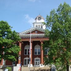
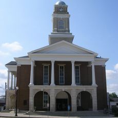
Mount Vernon, the county seat, is located on Interstate 75 and serves as the hub for government services and community facilities. From here, you can easily reach neighborhoods and access the outdoor areas that define the county.

Lake Linville sits near Mount Vernon and serves as a recreation spot where visitors can fish and boat on calm waters surrounded by hills. Few people realize this reservoir was created by a significant dam project that changed the local landscape.

The community of curious travelers

AroundUs brings together thousands of curated places, local tips, and hidden gems, enriched daily by 60,000 contributors worldwide.

Start exploring
Location
Inception
January 8, 1810
Capital city
Mount Vernon
Shares border with
Madison County, Jackson County, Laurel County, Pulaski County, Lincoln County, Garrard County
GPS coordinates
37.36000,-84.32000
Latest update
December 7, 2025 20:40
Around this place
United States of America

Cedar Creek Lake

24.8 km
William Whitley House State Historic Site
United States of America

William Whitley House State Historic Site

23.6 km
United States of America

Sue Bennett College

33.2 km
Battle of Dutton's Hill Monument
United States of America

Battle of Dutton's Hill Monument

36.9 km
Confederate Monument at Crab Orchard
United States of America

Confederate Monument at Crab Orchard

19.9 km
Old Garrard County Jail
United States of America

Old Garrard County Jail

36.7 km
Mt. Zion Christian Church
United States of America

Mt. Zion Christian Church

35.4 km
Governor William Owsley House
United States of America

Governor William Owsley House

36 km
Lincoln Hall, Berea College
United States of America

Lincoln Hall, Berea College

23.8 km
Logan Trace
United States of America

Logan Trace

27.1 km
Federal Building-Courthouse
United States of America

Federal Building-Courthouse

33.4 km
Kirksville Christian Church
United States of America

Kirksville Christian Church

34.6 km
Jennings-Salter House
United States of America

Jennings-Salter House

37 km
Blythewood
United States of America

Blythewood

34.6 km
First Evangelical Reformed Church
United States of America

First Evangelical Reformed Church

25.2 km
James W. Alcorn House
United States of America

James W. Alcorn House

36.4 km
John Lair House
United States of America

John Lair House

3.4 km
Annville Institute
United States of America

Annville Institute

31.1 km
Methodist Episcopal Church
United States of America

Methodist Episcopal Church

36.7 km
Bennett Hiatt Log House
United States of America

Bennett Hiatt Log House

3.1 km
Somerset Downtown Commercial District
United States of America

Somerset Downtown Commercial District

39 km
Wherritt House
United States of America

Wherritt House

37 km
Samuel and Mary Logan Briggs House
United States of America

Samuel and Mary Logan Briggs House

35.8 km
Billy Ball House
United States of America

Billy Ball House

36.7 km
Withers House
United States of America

Withers House

38.9 km
Levi Jackson Wilderness Road State Park
United States of America

Levi Jackson Wilderness Road State Park

39.5 km
Lincoln County Courthouse
United States of America

Lincoln County Courthouse

35.6 km
Lancaster Commercial Historic District
United States of America

Lancaster Commercial Historic District

36.9 km
Show the full map
Reviews
Share your experience

No review yet

Discussions
Start a discussion...

No discussion yet

« Rockcastle County - County administration area in southeastern Kentucky, US » is provided by Around Us (aroundus.com). Images and texts are derived from Wikimedia project under a Creative Commons license. You are allowed to copy, distribute, and modify copies of this page, under the conditions set by the license, as long as this note is clearly visible.

Discover hidden gems everywhere you go!

From secret cafés to breathtaking viewpoints, skip the crowded tourist spots and find places that match your style. Our app makes it easy with voice search, smart filtering, route optimization, and insider tips from travelers worldwide. Download now for the complete mobile experience.

Around Us App Screenshot

A unique approach to discovering new places

Le Figaro

All the places worth exploring

France Info

A tailor-made excursion in just a few clicks

20 Minutes

Around Us
Travel Guide & Maps
Download

Send to your phone

QR Code
1

Open the camera app on your mobile.

2

Point at the QR code with your camera. A notification will appear.

3

Tap the notification to open the link.