
Sherman County, County in central Nebraska, United States
Sherman County spans 572 square miles of rolling hills and agricultural land, with the Middle Loup River flowing through its eastern central section.
The county was established in 1871 and named after Civil War General William Tecumseh Sherman, with Loup City designated as its administrative center.
The population maintains strong connections to Polish-American heritage, with nearly 30 percent of residents reporting Polish ancestry in demographic records.
Nebraska Highways 2, 10, 58, 68, and 92 connect the five main communities of Loup City, Ashton, Hazard, Litchfield, and Rockville.
Clear Creek and Muddy Creek form the drainage system in the western portions of the county, supporting agricultural activities without extensive irrigation systems.
Location: Nebraska
Inception: 1871
Capital city: Loup City
Shares border with: Valley County, Buffalo County, Custer County, Greeley County, Howard County
Website: https://shermancounty.nebraska.gov
GPS coordinates: 41.22000,-98.97000
Latest update: March 9, 2025 06:54
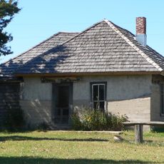
Dowse Sod House
40.5 km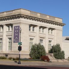
Museum of Nebraska Art
58.7 km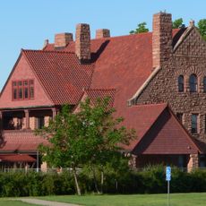
George W. Frank House
59 km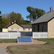
Fort Hartsuff State Historical Park
56.2 km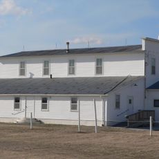
Rad Slavin cis. 112 Z.C.B.J. Hall
46.1 km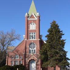
Church of the Visitation of the Blessed Virgin Mary
52.5 km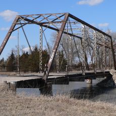
Sargent Bridge
56.4 km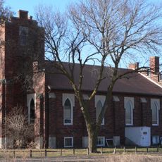
St. Peder's Dansk Evangelical Lutheran Kirke
31.4 km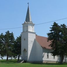
Dannevirke Danish Lutheran Church and Community Hall
24.7 km
Loup City Township Carnegie Library
6.3 km
Howard County Courthouse
42.9 km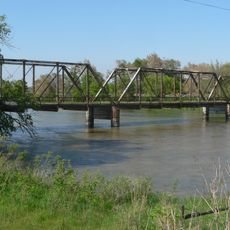
North Loup Bridge
37.1 km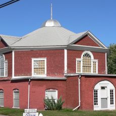
People's Unitarian Church
42.6 km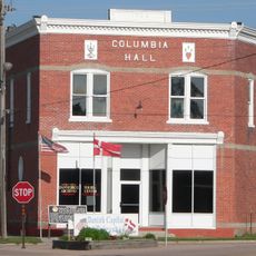
Columbia Hall
37.2 km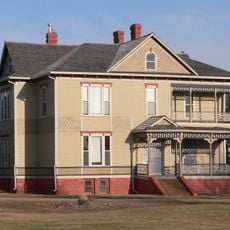
George Meisner House
50.9 km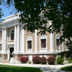
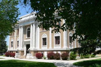
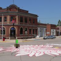
Sherman County Courthouse
6.2 km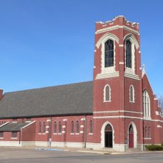
Saint Luke's Protestant Episcopal Church
58.2 km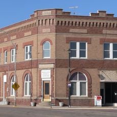
Meisner Bank Building
52.8 km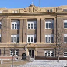
Greeley County Courthouse
51.8 km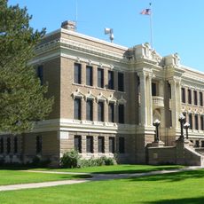
Valley County Courthouse
42.7 km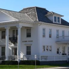
Dr. A.O. Thomas House
59 km
John Barnd House
57.9 km
Fort Theatre
58.9 km
Hanson-Downing House
59 km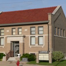
Broken Bow Carnegie Library
59.8 km
Klehm House
59 km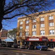
World Theatre
58.8 km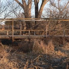
Sweetwater Mill Bridge
20.2 kmReviews
Visited this place? Tap the stars to rate it and share your experience / photos with the community! Try now! You can cancel it anytime.
Discover hidden gems everywhere you go!
From secret cafés to breathtaking viewpoints, skip the crowded tourist spots and find places that match your style. Our app makes it easy with voice search, smart filtering, route optimization, and insider tips from travelers worldwide. Download now for the complete mobile experience.

A unique approach to discovering new places❞
— Le Figaro
All the places worth exploring❞
— France Info
A tailor-made excursion in just a few clicks❞
— 20 Minutes