Nowata County, Administrative county in northeastern Oklahoma, United States
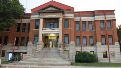
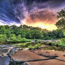
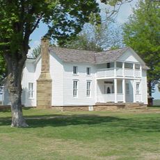
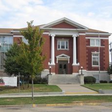
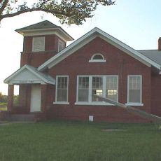
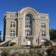
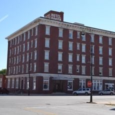
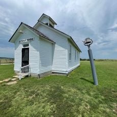
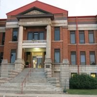
Nowata County is an administrative county in northeastern Oklahoma with rolling hills, grasslands, and the Verdigris River flowing through its territory. The courthouse on North Maple Street serves as the administrative hub for local services.
The county was established in 1907 during Oklahoma's statehood and took its name from a Delaware word meaning welcome, reflecting ties to the region's original inhabitants. This naming choice highlights the historical significance of relationships between European settlers and indigenous peoples.
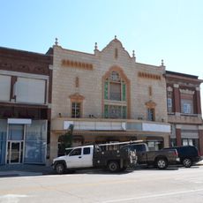
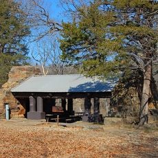
Pioneer Day celebrations in May bring the community together with a parade, local vendors, and music that reflect the region's agricultural and industrial heritage.
The region is easy to navigate by car, with clear roads running through hills and plains. The courthouse and county offices are centrally located and accessible during regular business hours for visitors and residents.
The county was home to Oklahoma's lowest recorded temperature, marking its place in the state's meteorological history. This extreme weather event makes it a notable location for those interested in weather and climate records.
Location: Oklahoma
Inception: 1907
Capital city: Nowata
Shares border with: Montgomery County, Rogers County, Labette County, Craig County, Washington County
Website: http://nowata.com
GPS coordinates: 36.79000,-95.62000
Latest update: December 10, 2025 16:00
Price Tower
32.1 km
Woolaroc
45.9 km
Osage Hills State Park
50.2 km
Dog Iron Ranch
35.8 km
Ed Galloway's Totem Pole Park
42.2 km
Hulah Lake
45 km
Elk City State Park
53.5 km
LaQuinta
31.2 km
Attucks School
45.5 km
Independence Public Library
48.7 km
First Methodist Episcopal Church, South
44.6 km
Diamond Point School
16.7 km
Booth Theater
49.1 km
Onion Creek Bridge (Coffeyville, Kansas)
26.4 km
Old Washington County Courthouse
31.6 km
Booth Hotel
48.8 km
Bethel African Methodist Episcopal Church
27 km
Ed Galloway's Totem Pole Park
42.1 km
Niotaze Methodist Episcopal Church
47 km
Coffeyville Carnegie Public Library Building
27.4 km
Little House On The Prairie Museum
42 km
Claremore Lake Splash Pad
51.4 km
Dewlen-Spohnhauer Bridge
48.6 km
Eastern Trails Museum
44.6 km
Independence Historical Museum & Art Center
49 km
Pryor Creek Bridge
33.5 km
Osage Hills State Park Picnic Pavilion
50.5 km
Independence Downtown Historic District
49 kmVisited this place? Tap the stars to rate it and share your experience / photos with the community! Try now! You can cancel it anytime.
Discover hidden gems everywhere you go!
From secret cafés to breathtaking viewpoints, skip the crowded tourist spots and find places that match your style. Our app makes it easy with voice search, smart filtering, route optimization, and insider tips from travelers worldwide. Download now for the complete mobile experience.
A unique approach to discovering new places❞
— Le Figaro
All the places worth exploring❞
— France Info
A tailor-made excursion in just a few clicks❞
— 20 Minutes