Enable Location

We need your location to show you interesting places around you

Discover nearby places

Find interesting locations and hidden gems around you

Precise directions

Get accurate directions and distances to places

Your location is never shared with other users. It's only used when you tap the location button.

Westford

Log in to your account

Start exploring — it's free

Trusted by 61,936 travelers worldwide

Continue with Google
Continue with Apple
or

We will send you a code to connect

By continuing, you accept our Terms and Conditions and our Privacy Policy

Check your inbox

We've sent a pincode in your inbox. Please enter the code below.

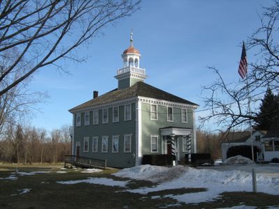
Westford, Town in Middlesex County, Massachusetts.

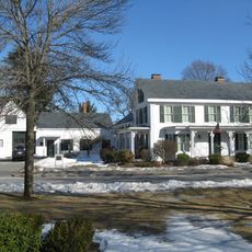
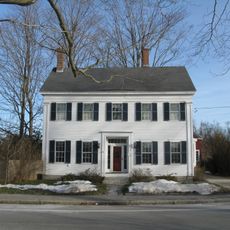
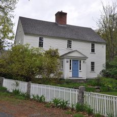
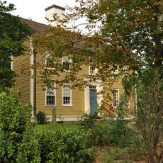
Westford is a town in Middlesex County in northeastern Massachusetts characterized by rolling terrain, lakes, and apple orchards scattered throughout the area. The community blends natural landscapes with suburban development across its 31.3-square-mile expanse.

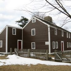
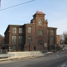
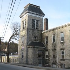
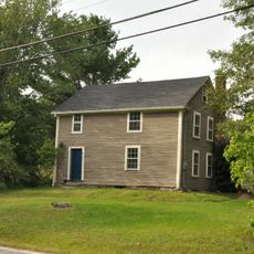
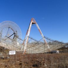
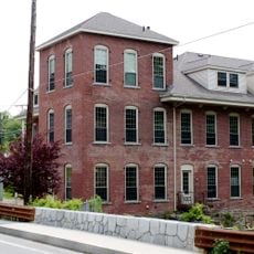
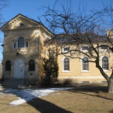
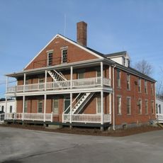
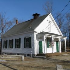
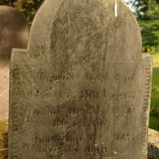
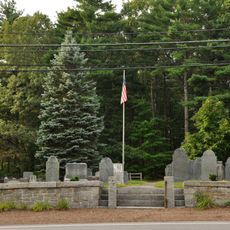
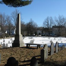
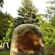
Westford was first settled in 1635 and formally incorporated in 1729 as a farming and woolen mill community. Over time it transformed into a residential area focused on technology and modern industries.

The Apple Blossom Festival in May features a traditional parade and queen coronation, while the June Strawberry Festival displays local crafts and food.

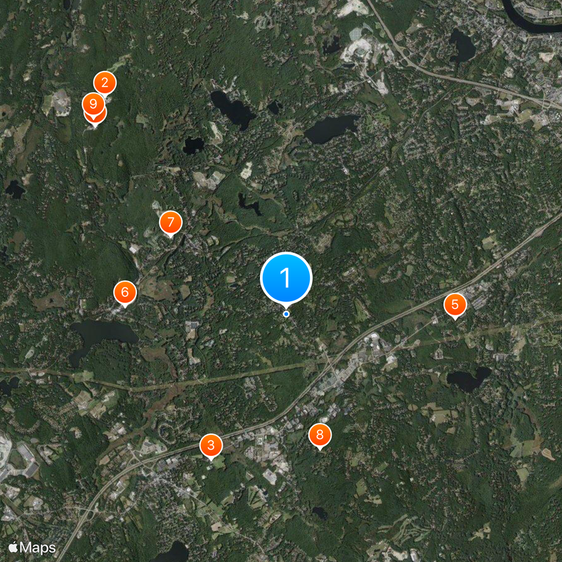
The town is accessible by State Routes 110, 20, 225, and 27, plus Interstate 495, with local bus service available for getting around. Visitors can easily reach different areas and recreational facilities throughout the community.

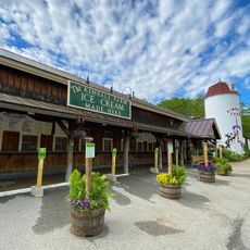
The community offers two spring-fed pond beaches, an 18-hole golf course, and access to the Nashoba Valley Ski area for outdoor activities throughout the year. These facilities make seasonal recreation easily available to residents and visitors.

The community of curious travelers

AroundUs brings together thousands of curated places, local tips, and hidden gems, enriched daily by 60,000 contributors worldwide.

Start exploring
Location
Inception
1635
Elevation above the sea
124 m
GPS coordinates
42.57917,-71.43833
Latest update
December 18, 2025 20:06
Around this place
Haystack Observatory
United States of America

Haystack Observatory

6.4 km
Kimball Farm
United States of America

Kimball Farm

3.7 km
Millstone Hill Antenna
United States of America

Millstone Hill Antenna

6.1 km
Old Chelmsford Garrison House
United States of America

Old Chelmsford Garrison House

3.8 km
Forge Village Historic District
United States of America

Forge Village Historic District

3.6 km
Graniteville Historic District
United States of America

Graniteville Historic District

3.1 km
John Proctor House
United States of America

John Proctor House

3.1 km
Millstone Hill Observatory
United States of America

Millstone Hill Observatory

6.2 km
Russian Cemetery
United States of America

Russian Cemetery

2.7 km
Brookside Historic District
United States of America

Brookside Historic District

4.1 km
Reed-Wood Place
United States of America

Reed-Wood Place

4.6 km
Houghton Memorial Building
United States of America

Houghton Memorial Building

5.9 km
Westford Town Farm
United States of America

Westford Town Farm

3.4 km
Fairview Cemetery
United States of America

Fairview Cemetery

1.8 km
Parker Village Historic District
United States of America

Parker Village Historic District

3.8 km
Hillside Cemetery
United States of America

Hillside Cemetery

2.5 km
Westford Center Historic District
United States of America

Westford Center Historic District

156 m
Wright Cemetery
United States of America

Wright Cemetery

4.1 km
Jonathon Keyes Sr. House
United States of America

Jonathon Keyes Sr. House

3.8 km
United States of America

Nashoba Brook Wildlife Sanctuary

3.1 km
Old Burying Ground
United States of America

Old Burying Ground

4.9 km
Henry Fletcher House
United States of America

Henry Fletcher House

3.2 km
United States of America

Newfield Pond

7.3 km
United States of America

Nabnasset Pond

4.3 km
United States of America

Wallace Observatory

5.1 km
United States of America

Heart Pond

4.4 km
United States of America

Stony Brook Reservoir

1.9 km
Westlawn Cemetery
United States of America

Westlawn Cemetery

2.5 km
Show the full map
« Westford - Town in Middlesex County, Massachusetts » is provided by Around Us (aroundus.com). Images and texts are derived from Wikimedia project under a Creative Commons license. You are allowed to copy, distribute, and modify copies of this page, under the conditions set by the license, as long as this note is clearly visible.

Discover hidden gems everywhere you go!

From secret cafés to breathtaking viewpoints, skip the crowded tourist spots and find places that match your style. Our app makes it easy with voice search, smart filtering, route optimization, and insider tips from travelers worldwide. Download now for the complete mobile experience.

Around Us App Screenshot

A unique approach to discovering new places

Le Figaro

All the places worth exploring

France Info

A tailor-made excursion in just a few clicks

20 Minutes

Around Us
Travel Guide & Maps
Download

Send to your phone

QR Code
1

Open the camera app on your mobile.

2

Point at the QR code with your camera. A notification will appear.

3

Tap the notification to open the link.