Enable Location

We need your location to show you interesting places around you

Discover nearby places

Find interesting locations and hidden gems around you

Precise directions

Get accurate directions and distances to places

Your location is never shared with other users. It's only used when you tap the location button.

Bloomfield

Log in to your account

Start exploring — it's free

Trusted by 61,867 travelers worldwide

Continue with Google
Continue with Apple
or

We will send you a code to connect

By continuing, you accept our Terms and Conditions and our Privacy Policy

Check your inbox

We've sent a pincode in your inbox. Please enter the code below.

Bloomfield, Suburban town in Hartford County, United States

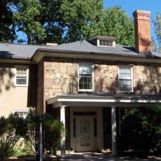
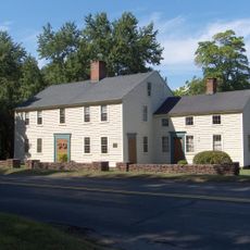
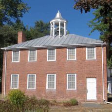
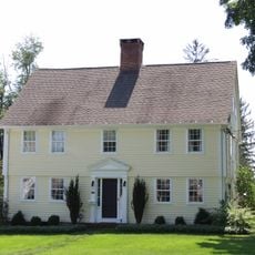
Bloomfield is a town in Hartford County that spreads across roughly 67 square kilometers and is shaped by the Metacomet Ridge along its western edge and the Farmington River to the north. The settlement sits near Hartford and appears as a residential area with scattered commercial districts, green spaces, and neighborhoods connected by local roads and tree-lined streets.

The area was first inhabited by the Poquonock people and settled in 1660 as part of Windsor, before separating to form its own municipality in 1835. The name honors judge and war veteran Joseph Bloomfield, who served during the American Revolution and the early Republic.

The community shows itself as a living mix of different groups that meet daily on the streets, in parks, and at local gatherings. You can sense the blend of traditions in restaurants, shops, and neighborhood events, where people with African, Latin American, European, and Asian roots shape the atmosphere together.

Eleven bus routes link the town to surrounding areas, while drivers can reach different parts of the region via Route 218 and Blue Hills Avenue. The roads are generally easy to navigate, though you should keep typical commuter hours in mind when planning travel.

The New England Muscle Bicycle Museum displays old bicycles from several decades and offers a window into local everyday history through these two-wheeled collector pieces. Visitors see models that once traveled the streets of the region and are now rare to find.

The community of curious travelers

AroundUs brings together thousands of curated places, local tips, and hidden gems, enriched daily by 60,000 contributors worldwide.

Start exploring
Location
Inception
1835
Elevation above the sea
42 m
Shares border with
West Hartford
GPS coordinates
41.85000,-72.73333
Latest update
December 14, 2025 09:58
Around this place
Heublein Tower
United States of America

Heublein Tower

6 km
Talcott Mountain
United States of America

Talcott Mountain

6.9 km
Connecticut General Life Insurance Company Headquarters
United States of America

Connecticut General Life Insurance Company Headquarters

4.2 km
S1C reactor
United States of America

S1C reactor

3.5 km
Talcott Mountain State Park
United States of America

Talcott Mountain State Park

5.5 km
Penwood State Park
United States of America

Penwood State Park

4 km
United States of America

Gillette Ridge Golf Club

4 km
United States of America

Northwest Park

6.6 km
Oliver Filley House
United States of America

Oliver Filley House

2.9 km
Terry's Plain Historic District
United States of America

Terry's Plain Historic District

5.7 km
Francis Gillette House
United States of America

Francis Gillette House

3.5 km
John Humphrey House
United States of America

John Humphrey House

5.3 km
Old Farm Schoolhouse
United States of America

Old Farm Schoolhouse

3.6 km
Engine Company 16 Fire Station
United States of America

Engine Company 16 Fire Station

6 km
Beardsley-Mix House
United States of America

Beardsley-Mix House

2.8 km
Southwest District School
United States of America

Southwest District School

4.6 km
United States of America

Mill Brook State Park

3 km
United States of America

Wintonbury Hills Playground

4.6 km
United States of America

Barber Pond State Wildlife Area

4 km
United States of America

Bowles Park

5.4 km
United States of America

Curtis Park

5.9 km
United States of America

West Eggleston Street Tot Lot

4.1 km
United States of America

Pershing Park Playground

5.6 km
United States of America

Tumble Brook Country Club

4.3 km
United States of America

Wintonbury Hills Golf Course

2.1 km
United States of America

Tim Coyne Memorial

6.1 km
United States of America

Tumble Brook Sculpture

4.8 km
United States of America

Cow Mermaid Statue

4.3 km
Show the full map
« Bloomfield - Suburban town in Hartford County, United States » is provided by Around Us (aroundus.com). Images and texts are derived from Wikimedia project under a Creative Commons license. You are allowed to copy, distribute, and modify copies of this page, under the conditions set by the license, as long as this note is clearly visible.

Discover hidden gems everywhere you go!

From secret cafés to breathtaking viewpoints, skip the crowded tourist spots and find places that match your style. Our app makes it easy with voice search, smart filtering, route optimization, and insider tips from travelers worldwide. Download now for the complete mobile experience.

Around Us App Screenshot

A unique approach to discovering new places

Le Figaro

All the places worth exploring

France Info

A tailor-made excursion in just a few clicks

20 Minutes

Around Us
Travel Guide & Maps
Download

Send to your phone

QR Code
1

Open the camera app on your mobile.

2

Point at the QR code with your camera. A notification will appear.

3

Tap the notification to open the link.