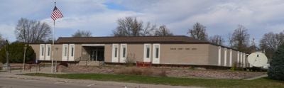
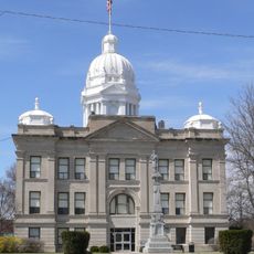
Harlan County, County in Nebraska, United States
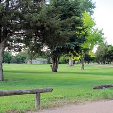
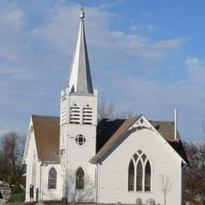
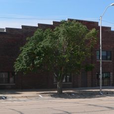
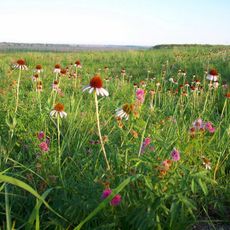
Harlan County is a rural county in southern Nebraska, shaped by the Republican River valley and surrounded by open farmland and rolling terrain. Small towns and scattered farms make up most of the land, connected by a network of paved and gravel roads.
The county was created by the Nebraska legislature in 1871 and named after Silas Harlan, an early scout and settler who had traveled through the region. Its formation came during a period of rapid settlement along the Republican River, driven by the Homestead Act.
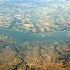
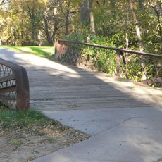
The reservoir draws local families for fishing and boating on weekends, making it the social center of the county. This gathering point gives the area a rhythm that feels different from purely agricultural counties nearby.
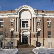
A car is necessary to get around the county, as there is no public transportation available in this rural area. Alma, the county seat, is a good starting point for reaching most parts of the county by road.
The Harlan County Reservoir was built by the US Army Corps of Engineers in the 1950s and is one of the few large bodies of water in this part of Nebraska. The dam was designed not only to store water for irrigation but also to protect downstream farmland from flooding.
The community of curious travelers
AroundUs brings together thousands of curated places, local tips, and hidden gems, enriched daily by 60,000 contributors worldwide.