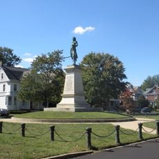
Brunswick County, Rural county in southern Virginia, United States.
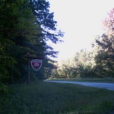
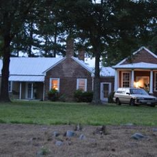
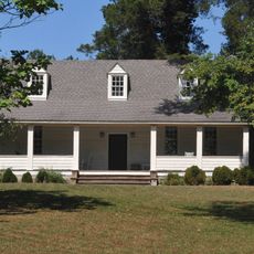
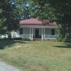
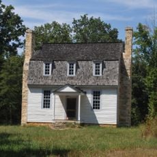
Brunswick County is a rural county in southern Virginia characterized by farmland, small towns, and wooded areas that extend toward the North Carolina border. The landscape reflects the agricultural nature of the region, with open fields interspersed among forest patches and scattered residential communities.
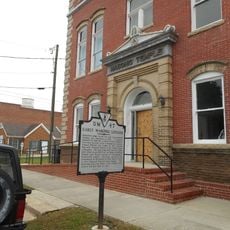
The county was established in 1720 from parts of neighboring counties and named after the Duchy of Brunswick-Lunenburg in Germany. This formation occurred during Virginia's early colonial expansion and helped shape settlement patterns in the state's southern region.
Brunswick County maintains strong agricultural traditions with tobacco farming playing a central role in shaping local customs and community practices throughout generations.
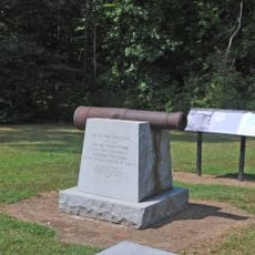
Interstate 85 runs through the county and provides the main route connecting to Richmond to the north and North Carolina to the south. Travelers should plan on using this highway as the primary way to navigate the county and access its various communities.
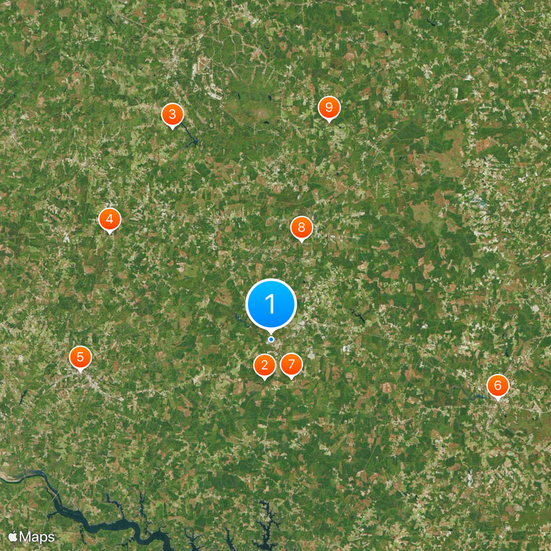
The county claims an origin story for Brunswick stew, a traditional dish created in 1828 that became tied to local food heritage. This culinary connection remains part of the area's identity and occasionally draws food enthusiasts interested in regional cooking traditions.
The community of curious travelers
AroundUs brings together thousands of curated places, local tips, and hidden gems, enriched daily by 60,000 contributors worldwide.