
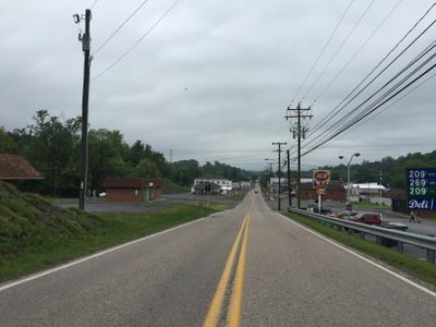
Craigsville, town in Virginia
Location: Augusta County
Elevation above the sea: 466 m
GPS coordinates: 38.07940,-79.38110
Latest update: April 8, 2025 07:06
Polyface Farm
14.7 km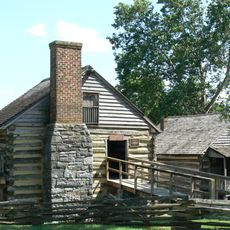
Cyrus McCormick Farm
21.6 km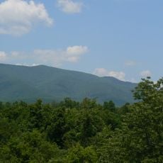
Elliott Knob
11.3 km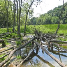
Folly Mills Creek Fen Natural Area Preserve
21.8 km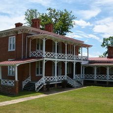
Bethel Green
18.4 km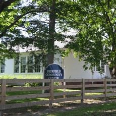
Deerfield School
13 km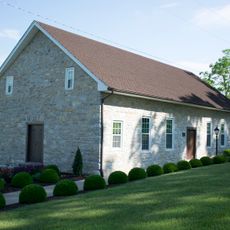
Old Providence Stone Church
18.9 km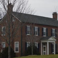
Level Loop
16.8 km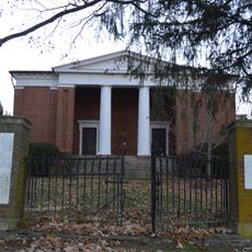
New Providence Presbyterian Church
15.8 km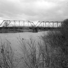
Goshen Land Company Bridge
14.4 km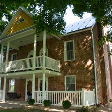
James Alexander House
20.2 km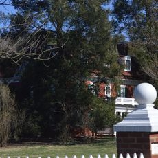
Intervale
21.3 km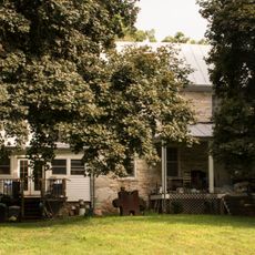
Clover Mount
17.9 km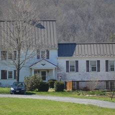
Lewis Shuey House
14.2 km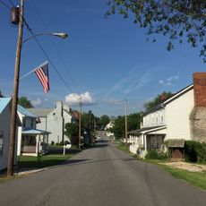
Middlebrook Historic District
14.9 km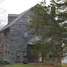
Hays Creek Mill
16.3 km
Camp Alkulana
23.1 km
Glebe Schoolhouse
14.4 km
Brownsburg Historic District
17.6 km
Henry Mish Barn
13.9 km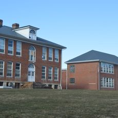
Millboro School
22.5 km
Maple Front Farm
12.5 km
The Wilderness
11.3 km
A. J. Miller House
14.4 km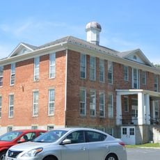
Craigsville School
96 m
Mulberry Grove
18.6 km
Walker's Creek Schoolhouse
8.3 km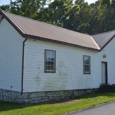
Moffett's Creek Schoolhouse
10.7 kmVisited this place? Tap the stars to rate it and share your experience / photos with the community! Try now! You can cancel it anytime.
Discover hidden gems everywhere you go!
From secret cafés to breathtaking viewpoints, skip the crowded tourist spots and find places that match your style. Our app makes it easy with voice search, smart filtering, route optimization, and insider tips from travelers worldwide. Download now for the complete mobile experience.

A unique approach to discovering new places❞
— Le Figaro
All the places worth exploring❞
— France Info
A tailor-made excursion in just a few clicks❞
— 20 Minutes