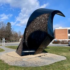
Augusta County, Administrative county in Shenandoah Valley, Virginia, US
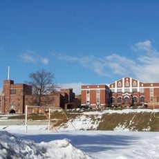
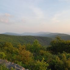
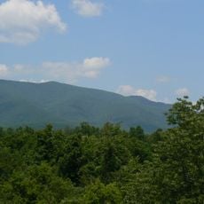
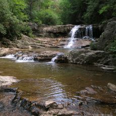
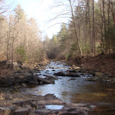
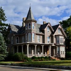
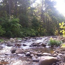
Augusta County is an administrative county in Virginia's Shenandoah Valley region, covering roughly 2,500 square kilometers of land that includes parts of George Washington National Forest and surrounds the independent cities of Staunton and Waynesboro. The terrain features valleys, forests, and farmland that together create a rural landscape.
The county was founded in 1738 from Orange County territory, initially covering large areas of present-day West Virginia and Kentucky. Over the following decades, boundaries shifted until it reached its current shape in 1790.
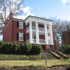
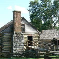
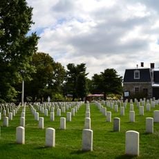
The county has deep roots in farming and rural community life. People here mark this heritage through festivals and gatherings that reflect the rhythm of seasons across the region.
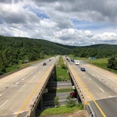
Two major interstate highways, I-64 and I-81, cross through the area and connect to larger cities while providing access to the Blue Ridge Parkway. These roads make it straightforward for visitors to explore the region.
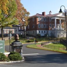
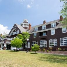
While Staunton serves as the nominal county seat, most government offices actually operate from the nearby community of Verona. This unusual split in administrative functions reflects an interesting historical quirk of the area.
Location: Virginia
Inception: August 1, 1738
Capital city: Staunton
Shares border with: Staunton, Waynesboro, Pendleton County, Rockingham County, Albemarle County, Nelson County, Rockbridge County, Bath County, Highland County
Website: http://co.augusta.va.us
GPS coordinates: 38.20000,-79.11670
Latest update: December 17, 2025 08:08
Swannanoa
29 km
Western State Hospital
7.4 km
Rockfish Gap
29.4 km
Fishburne Military School
24.6 kmHumpback Rock
32.6 km
Woodrow Wilson Presidential Library
7 km
Reddish Knob
31.2 km
Mirador
36.3 km
Bridgeforth Stadium and Zane Showker Field
33.7 km
Grand Caverns
25.5 kmGoshen Scout Reservation
40.4 km
Cyrus McCormick Farm
30.9 km
Virginia School for the Deaf and the Blind
7.2 km
Staunton High School
6.8 km
General Electric Specialty Control Plant
24.7 km
Elliott Knob
17.7 km
Guns into Plowshares
36.5 km
Saint Mary's Wilderness
30.7 km
James Madison University Convocation Center
33.7 km
Ramsey's Draft Wilderness
24.9 km
Thomas Harrison House
35 km
Staunton National Cemetery
8.8 kmDeep Run Ponds Natural Area Preserve
30.9 km
Joshua Wilton House
34.8 km
Wild Oak Trail
25 kmEdith J. Carrier Arboretum
34 km
Fairfax Hall
25.9 kmMount Joy Pond Natural Area Preserve
29.6 kmVisited this place? Tap the stars to rate it and share your experience / photos with the community! Try now! You can cancel it anytime.
Discover hidden gems everywhere you go!
From secret cafés to breathtaking viewpoints, skip the crowded tourist spots and find places that match your style. Our app makes it easy with voice search, smart filtering, route optimization, and insider tips from travelers worldwide. Download now for the complete mobile experience.
A unique approach to discovering new places❞
— Le Figaro
All the places worth exploring❞
— France Info
A tailor-made excursion in just a few clicks❞
— 20 Minutes