Augusta, human settlement in Hampshire County, West Virginia, United States of America
Location: Hampshire County
Elevation above the sea: 396 m
GPS coordinates: 39.29500,-78.63830
Latest update: April 4, 2025 23:00
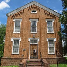
Literary Hall
11.5 km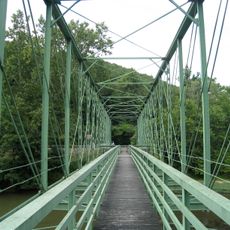
Capon Lake Whipple Truss Bridge
17.6 km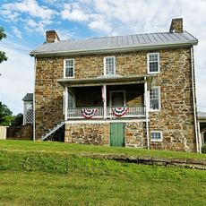
Sloan–Parker House
18.3 km
Valley View
12.5 km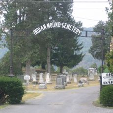
Indian Mound Cemetery
12.2 km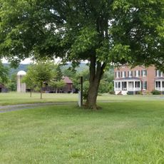
Washington Bottom Farm
15.8 km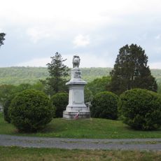
Confederate Memorial
12.2 km
Fort Mill Ridge Civil War Trenches
13.8 kmPiss Pot Island
13.1 km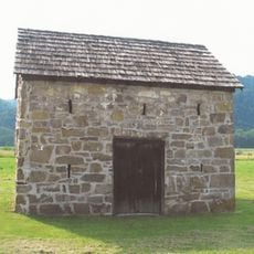
Fort Van Meter
18.7 km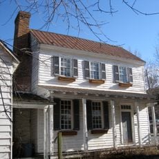
Wilson-Wodrow-Mytinger House
11.5 km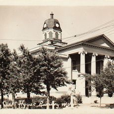
Hampshire County Courthouse
11.4 km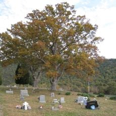
Little Cacapon Mountain
6.6 km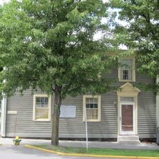
Taggart Hall
11.5 km
Kuykendall Polygonal Barn
18.9 km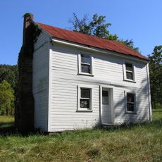
Washington Place
11.8 km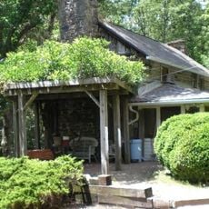
Scanlon Farm
11.3 km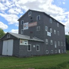
French's Mill
184 m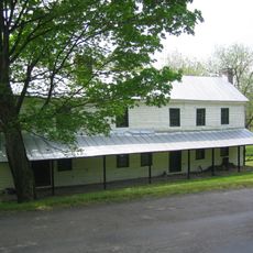
North River Mills Historic District
12.5 km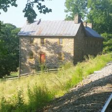
Nathaniel and Isaac Kuykendall House
14.9 km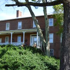
Hickory Grove
12.7 km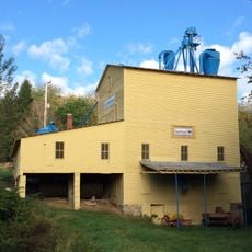
Yellow Spring Mill
16.7 km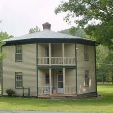
Brill Octagon House
21.6 km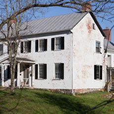
Carskadon House
21.1 km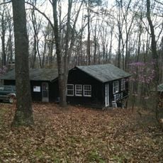
Camp Waldo Schmitt
8.3 km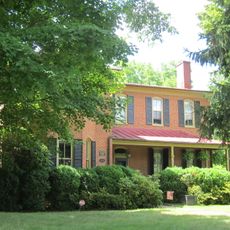
Old Methodist District Parsonage
11.5 km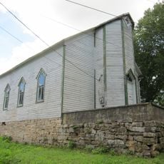
Old Capon Bridge Christian Church
17.5 km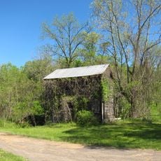
Abraham Kackley House
19.7 kmVisited this place? Tap the stars to rate it and share your experience / photos with the community! Try now! You can cancel it anytime.
Discover hidden gems everywhere you go!
From secret cafés to breathtaking viewpoints, skip the crowded tourist spots and find places that match your style. Our app makes it easy with voice search, smart filtering, route optimization, and insider tips from travelers worldwide. Download now for the complete mobile experience.

A unique approach to discovering new places❞
— Le Figaro
All the places worth exploring❞
— France Info
A tailor-made excursion in just a few clicks❞
— 20 Minutes