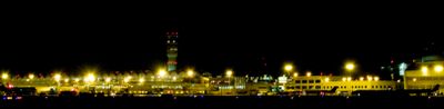
Ronald Reagan Washington National Airport, Major commercial airport in Arlington County, United States
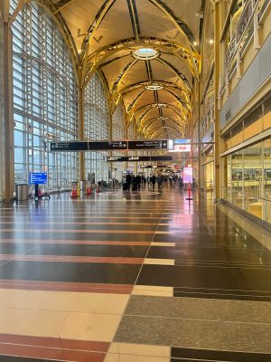
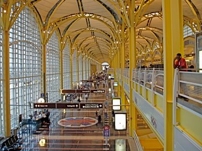
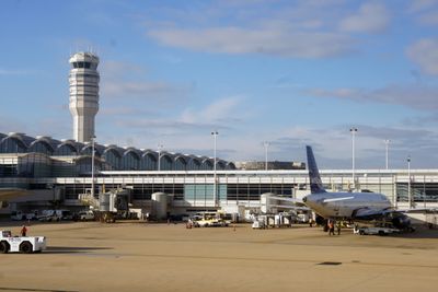
Ronald Reagan Washington National Airport is a major commercial aerodrome in Arlington County that operates three terminals with dining areas, shops, and passenger facilities spread across multiple connected buildings. The complex handles domestic flights and select international arrivals, serving as a primary gateway for travelers heading to and from the nation's capital.
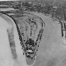
The aerodrome opened in 1941 as Washington National Airport and served as a major wartime hub during the Second World War. Congress renamed it in 1998 to honor the 40th President, who had strong ties to aviation policy during his time in office.
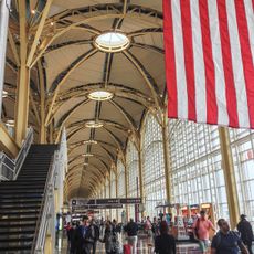
Travelers passing through often notice changing art exhibitions and photography displays that reflect the political and cultural life of the capital region. The terminals also feature historical panels and interpretive markers that give context to the area's role in American government and public life.
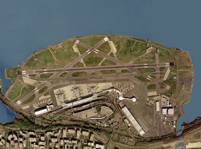
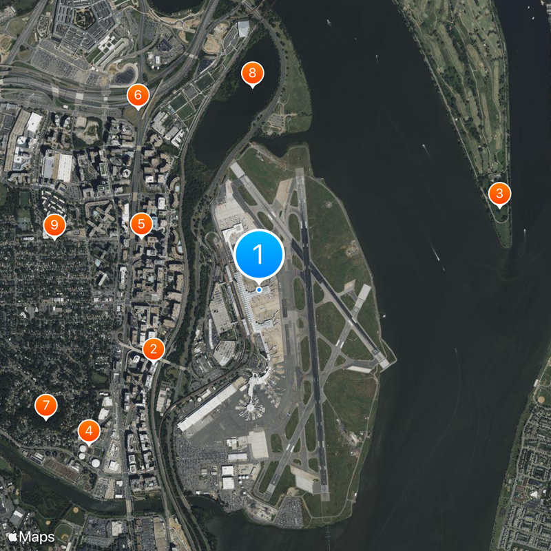
The airport sits about five miles (eight kilometers) from downtown Washington and connects directly to the Metro system via the Blue and Yellow Lines at the terminal station. Travelers should plan extra time for security screening, as proximity to government buildings means enhanced procedures are standard practice here.
Flight operations here require pilots to complete special authorization and training before they can land, making this one of the most tightly regulated aerodromes in the country. The approach paths follow the Potomac River and offer passengers window views of monuments and government buildings that are carefully coordinated with restricted airspace zones.
The community of curious travelers
AroundUs brings together thousands of curated places, local tips, and hidden gems, enriched daily by 60,000 contributors worldwide.