Punxsutawney, Historical borough in Jefferson County, Pennsylvania, US.
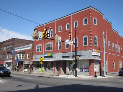
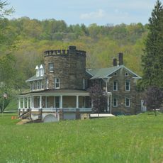
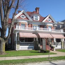
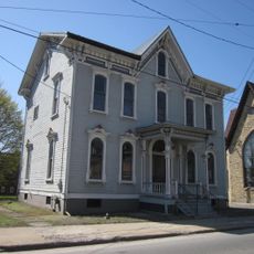
Punxsutawney is a borough in Jefferson County, Pennsylvania, that stretches along Mahoning Creek about 84 miles (135 km) northeast of Pittsburgh at an elevation of roughly 1,200 feet (370 m). The settlement follows the winding course of the creek and connects several low hills with a compact downtown area.
Settlement started in 1772 when Reverend John Ettwein arrived with a group of Lenape people and established a Christian mission. The community gained borough status in 1850 and grew through the timber industry and later coal mining.
The name comes from the Lenape language and means "town of the mosquitoes", recalling how early settlers dealt with clouds of insects near the water. This linguistic tie to the indigenous past remains present in daily life here.
The borough operates three volunteer fire companies and a police department that serve year-round. A seven-member council coordinates local affairs and meets regularly at the municipal building.
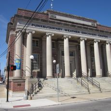
Every February 2nd, thousands gather to watch Punxsutawney Phil make his weather prediction, a ritual that has been going on since the 19th century. The celebration blends German folklore with local tradition and draws visitors from around the world.
Location: Jefferson County
Inception: 1816
Elevation above the sea: 370 m
Website: http://punxsutawney.com
GPS coordinates: 40.94556,-78.97528
Latest update: December 4, 2025 19:05
Bilger's Rocks
32.6 km
Mahoning Creek Dam
25.6 km
Curwensville Lake
37.7 km
Brookville Historic District
25.5 km
Brookville Presbyterian Church and Manse
25.7 km
John B. McCormick House
16.9 km
United States Post Office
273 m
Irvin-Patchin House
21.3 km
McGees Mills Covered Bridge
19.1 km
T. M. Kurtz House
349 m
Kintersburg Covered Bridge
27.4 km
Christian Miller House
316 m
DuBois Historic District
26.3 km
Phillip Taylor House
24.5 km
Trusal Covered Bridge
29.8 km
Thomas Marshall House
23.6 km
Joseph E. Hall House
25.7 km
Gray-Taylor House
25.8 km
George Diehl Homestead
37.6 km
Sen. Joseph O. Clark House
19 km
Colwell Cut Viaduct
32.6 km
Bridge in Greenwood Township
27.8 km
Harmon's Covered Bridge
27.4 km
Bridge between Madison and Mahoning Townships
34.8 km
Bridge in Westover Borough
33.7 km
Redferd Segers House
37.8 km
Punxsutawney Weather Discovery Center
302 m
Laurel Mountain Winery
30.7 kmReviews
Visited this place? Tap the stars to rate it and share your experience / photos with the community! Try now! You can cancel it anytime.
Discover hidden gems everywhere you go!
From secret cafés to breathtaking viewpoints, skip the crowded tourist spots and find places that match your style. Our app makes it easy with voice search, smart filtering, route optimization, and insider tips from travelers worldwide. Download now for the complete mobile experience.
A unique approach to discovering new places❞
— Le Figaro
All the places worth exploring❞
— France Info
A tailor-made excursion in just a few clicks❞
— 20 Minutes