Jefferson County, County administration center in Brookville, Pennsylvania, US
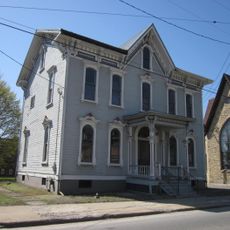
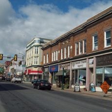
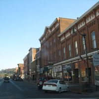
Jefferson County is an administrative county in northeastern Pennsylvania that includes several towns and natural areas. The main county services and courthouse are located in Brookville, the administrative center.
This county was established in 1804 when it was separated from Lycoming County and named after President Thomas Jefferson. This founding created a new administrative region in the area.
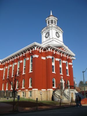
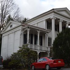
The Jefferson County Courthouse on Main Street in Brookville stands as the central government building where county commissioners conduct regular meetings.
The main administrative offices are located in Brookville and provide services like permits and court documents. These facilities are available during business days.
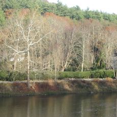
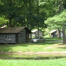
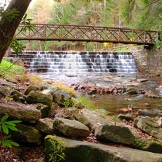
The Clarion River flows through this area and creates different watersheds that support forests and recreational lands. This river landscape offers visitors places to explore and enjoy outdoor activities.
The community of curious travelers
AroundUs brings together thousands of curated places, local tips, and hidden gems, enriched daily by 60,000 contributors worldwide.