
Plymouth, town in Litchfield County, Connecticut, United States
Location: Naugatuck Valley Planning Region
Location: Litchfield County
Inception: 1795
Elevation above the sea: 266 m
Website: http://plymouthct.us
GPS coordinates: 41.67194,-73.05278
Latest update: March 4, 2025 12:44


Muzzy Field
7.8 km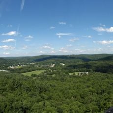
Black Rock State Park
4.8 km
Garbage Museum
8.6 km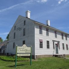
American Clock & Watch Museum
9.3 km
Jericho Trail
4.8 km
Hancock Brook Trail
7.6 km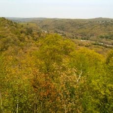
Mattatuck State Forest
4.4 km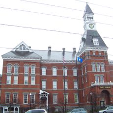
Thomaston Opera House
1.9 km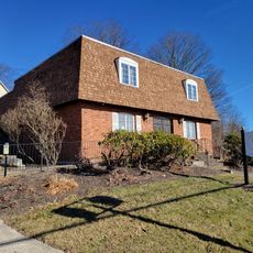
Lock Museum of America
3.5 km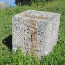
Humaston Brook State Park
5.7 km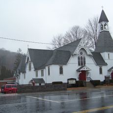
Trinity Church
1.9 km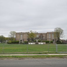
Old Bristol High School
9.5 km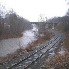
Reynolds Bridge
2.9 km
East Plymouth Historic District
5.2 km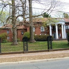
Beleden House
9.4 km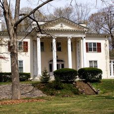
Ernest R. Burwell House
9.8 km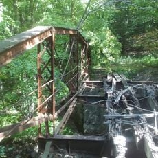
Sheffield Street Bridge
8.3 km
Bristol Girls' Club
8.8 km
Roderick Bryan House
7.3 km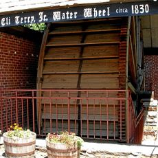
Terryville Waterwheel
3.2 km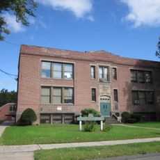
Clara T. O'Connell School
8.2 km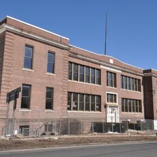
Clarence A. Bingham School
8.7 km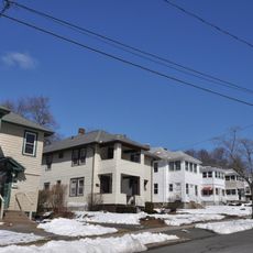
Endee Manor Historic District
7.9 km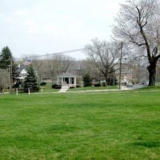
Watertown Center Historic District
9.4 km
Townsend G. Treadway House
9.8 km
South End Historic District
9.2 km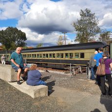
Train Station
1.3 km
American Italian Civic Club Park
9.1 kmReviews
Visited this place? Tap the stars to rate it and share your experience / photos with the community! Try now! You can cancel it anytime.
Discover hidden gems everywhere you go!
From secret cafés to breathtaking viewpoints, skip the crowded tourist spots and find places that match your style. Our app makes it easy with voice search, smart filtering, route optimization, and insider tips from travelers worldwide. Download now for the complete mobile experience.

A unique approach to discovering new places❞
— Le Figaro
All the places worth exploring❞
— France Info
A tailor-made excursion in just a few clicks❞
— 20 Minutes