Enable Location

We need your location to show you interesting places around you

Discover nearby places

Find interesting locations and hidden gems around you

Precise directions

Get accurate directions and distances to places

Your location is never shared with other users. It's only used when you tap the location button.

Simsbury

Log in to your account

Start exploring — it's free

Trusted by 61,867 travelers worldwide

Continue with Google
Continue with Apple
or

We will send you a code to connect

By continuing, you accept our Terms and Conditions and our Privacy Policy

Check your inbox

We've sent a pincode in your inbox. Please enter the code below.

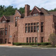
Simsbury, New England town in Hartford County, Connecticut, United States.

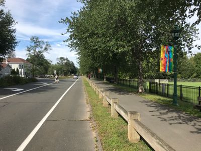
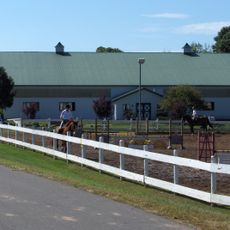
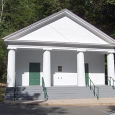
Simsbury is a settlement in Hartford County in northern Connecticut, stretching along the Farmington River and up to the ridge of Talcott Mountain. The landscape combines forested hills to the east with flat valleys and agricultural lots along the river, with main roads linking several rural hamlets and a small historic center.

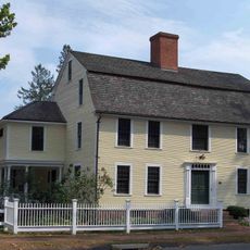
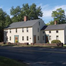
English colonists established a settlement here along the Farmington River in the 17th century, initially calling it Massacoe. The community received its official incorporation in 1670, making it one of the early towns in Connecticut.

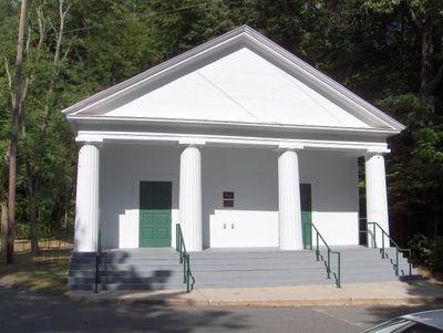
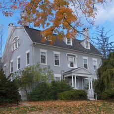
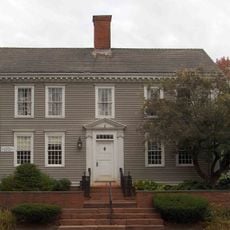
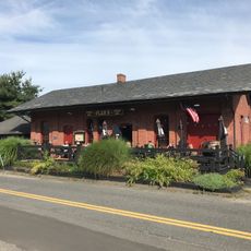
Local markets and events on green spaces show how residents maintain their agricultural roots. Neighborhoods preserve a mix of restored colonial homes and open fields, where families regularly buy regional produce and attend community gatherings.

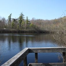
Hikers and walkers use the trails in Talcott Mountain State Park throughout the year, with autumn being especially popular. Access is through several parking areas along main roads, from which routes of varying length and gradient begin.

An exceptionally large sycamore tree grows near the Farmington River at the base of the mountain range and is recognized as the largest of its kind in the entire state. The tree is named after an early forester and attracts nature enthusiasts who come to admire its girth and age.

The community of curious travelers

AroundUs brings together thousands of curated places, local tips, and hidden gems, enriched daily by 60,000 contributors worldwide.

Start exploring
Location
Inception
1642
Elevation above the sea
71 m
GPS coordinates
41.87056,-72.82528
Latest update
December 12, 2025 19:36
Around this place
Penwood State Park
United States of America

Penwood State Park

3.9 km
Amos Eno House
United States of America

Amos Eno House

1.9 km
Stratton Brook State Park
United States of America

Stratton Brook State Park

1.1 km
Drake Hill Road Bridge
United States of America

Drake Hill Road Bridge

2.1 km
Simsbury Center Historic District
United States of America

Simsbury Center Historic District

1.9 km
Capt. Elisha Phelps House
United States of America

Capt. Elisha Phelps House

2.1 km
Terry's Plain Historic District
United States of America

Terry's Plain Historic District

3.7 km
Simsbury Bank and Trust Company Building
United States of America

Simsbury Bank and Trust Company Building

2 km
Robert and Julia Darling House
United States of America

Robert and Julia Darling House

1.9 km
East Weatogue Historic District
United States of America

East Weatogue Historic District

3.3 km
Simsbury station
United States of America

Simsbury station

2.1 km
Simsbury Townhouse
United States of America

Simsbury Townhouse

1.7 km
John Humphrey House
United States of America

John Humphrey House

2.6 km
Horace Belden School and Central Grammar School
United States of America

Horace Belden School and Central Grammar School

2.2 km
Massaco Forest Pavilion
United States of America

Massaco Forest Pavilion

1.2 km
United States of America

Curtis Park

4.4 km
Simsbury Free Library
United States of America

Simsbury Free Library

1.9 km
United States of America

Bike Sculpture

2.6 km
United States of America

Boehm house site

2.5 km
United States of America

Ferguson Theatre

2.4 km
United States of America

Hopmeadow Country Club

768 m
United States of America

Installation artwork, Work of art

2.3 km
United States of America

Scenic viewpoint

3.8 km
United States of America

Scenic viewpoint

3.8 km
United States of America

Scenic viewpoint

4.2 km
United States of America

Scenic viewpoint

4.1 km
United States of America

Scenic viewpoint

3.8 km
United States of America

Waterfall

3.8 km
Show the full map
« Simsbury - New England town in Hartford County, Connecticut, United States » is provided by Around Us (aroundus.com). Images and texts are derived from Wikimedia project under a Creative Commons license. You are allowed to copy, distribute, and modify copies of this page, under the conditions set by the license, as long as this note is clearly visible.

Discover hidden gems everywhere you go!

From secret cafés to breathtaking viewpoints, skip the crowded tourist spots and find places that match your style. Our app makes it easy with voice search, smart filtering, route optimization, and insider tips from travelers worldwide. Download now for the complete mobile experience.

Around Us App Screenshot

A unique approach to discovering new places

Le Figaro

All the places worth exploring

France Info

A tailor-made excursion in just a few clicks

20 Minutes

Around Us
Travel Guide & Maps
Download

Send to your phone

QR Code
1

Open the camera app on your mobile.

2

Point at the QR code with your camera. A notification will appear.

3

Tap the notification to open the link.