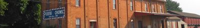
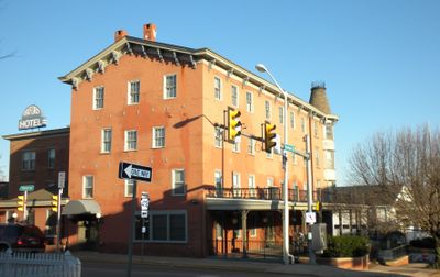
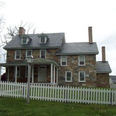
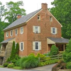
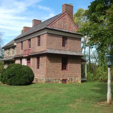
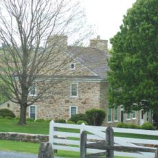
Oxford, borough of Pennsylvania
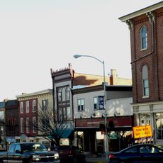
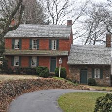
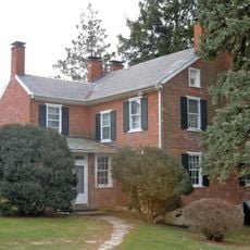
Oxford is a small borough located in Chester County, Pennsylvania, in the southeastern part of the state. The community features typical American residential neighborhoods with local businesses and tree-lined streets that define its quiet, small-town character.
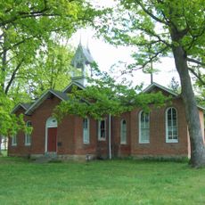
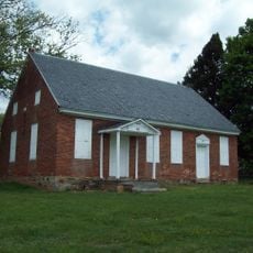
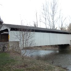
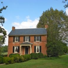
Oxford was founded like many Pennsylvania communities in the 18th and 19th centuries as an agricultural settlement. The borough developed as a small independent municipality while maintaining its agricultural roots and community identity through the decades.
Oxford is primarily a residential community with limited tourist facilities, so visitors should come prepared for a typical American small town experience. Exploring during daylight hours works best when local shops are open and the streets are more active.
The community of curious travelers
AroundUs brings together thousands of curated places, local tips, and hidden gems, enriched daily by 60,000 contributors worldwide.