Enable Location

We need your location to show you interesting places around you

Discover nearby places

Find interesting locations and hidden gems around you

Precise directions

Get accurate directions and distances to places

Your location is never shared with other users. It's only used when you tap the location button.

Chester County

Log in to your account

Start exploring — it's free

Trusted by 62,774 travelers worldwide

Continue with Google
Continue with Apple
or

We will send you a code to connect

By continuing, you accept our Terms and Conditions and our Privacy Policy

Check your inbox

We've sent a pincode in your inbox. Please enter the code below.

Chester County, County district in southeastern Pennsylvania, United States.

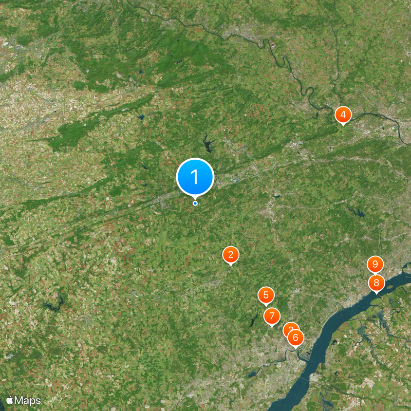
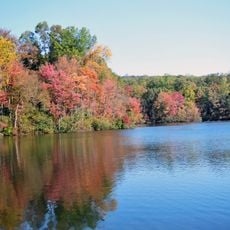
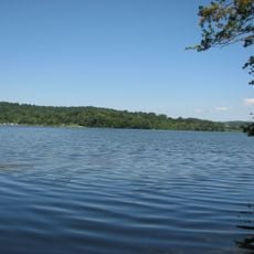
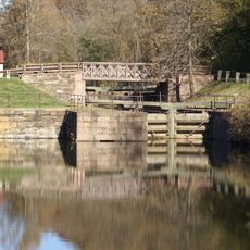
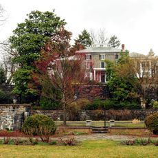
Chester County is a district in southeastern Pennsylvania that extends across rolling hills, fertile valleys, and numerous waterways including the Octoraro and Brandywine creeks. The area encompasses dozens of townships and boroughs connected by a network of country roads, linking both rural and suburban landscapes.

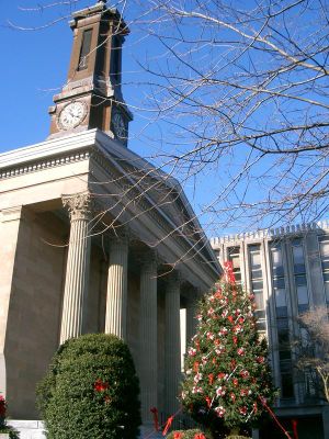
William Penn founded the district in 1682 as one of Pennsylvania's three original administrative areas, with Chester City initially serving as the seat. In 1786, authorities moved the seat to West Chester, which lay at the center of the district and offered better accessibility.

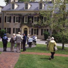
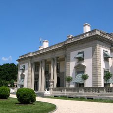
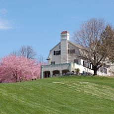
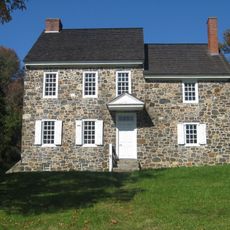
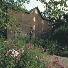
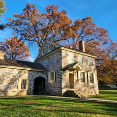
The district takes its name from the English city of Chester, which William Penn used as a model. Many settlements throughout the area still preserve their colonial architecture with stone barns and single-story farmhouses from the 18th century.

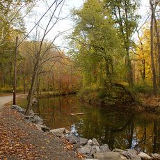
Each township has its own road network and center, with country roads linking remote farms and preserves to larger towns. Signage can be limited in rural areas, so using maps or navigation tools is helpful when exploring less traveled routes.

The southern half of the district produces more than half of all mushrooms grown in the United States. Dozens of mushroom farms operate here in long, climate-controlled sheds that provide controlled conditions year-round.

The community of curious travelers

AroundUs brings together thousands of curated places, local tips, and hidden gems, enriched daily by 60,000 contributors worldwide.

Start exploring
Location
Inception
1682
Capital city
West Chester
Shares border with
Berks County, Montgomery County, Delaware County, New Castle County, Cecil County, Lancaster County
GPS coordinates
39.97000,-75.75000
Latest update
December 15, 2025 00:05
Around this place
Longwood Gardens
United States of America

Longwood Gardens

12.7 km
Corporation Trust Center
United States of America

Corporation Trust Center

30.1 km
Valley Forge National Historical Park
United States of America

Valley Forge National Historical Park

30 km
Winterthur Museum, Garden and Library
United States of America

Winterthur Museum, Garden and Library

22.3 km
Fort Christina
United States of America

Fort Christina

31.6 km
St. Joseph's on the Brandywine
United States of America

St. Joseph's on the Brandywine

26 km
Commodore Barry Bridge
United States of America

Commodore Barry Bridge

36.3 km
Crozer Theological Seminary
United States of America

Crozer Theological Seminary

34.7 km
Hagley Museum and Library
United States of America

Hagley Museum and Library

25.9 km
Ebright Azimuth
United States of America

Ebright Azimuth

24.7 km
French Creek State Park
United States of America

French Creek State Park

27.1 km
Eleutherian Mills
United States of America

Eleutherian Mills

25.8 km
Nemours Mansion and Gardens
United States of America

Nemours Mansion and Gardens

27.1 km
Chanticleer Garden
United States of America

Chanticleer Garden

31.7 km
Chanticleer Garden
United States of America

Chanticleer Garden

31.4 km
Marsh Creek State Park
United States of America

Marsh Creek State Park

11 km
Ridley Creek State Park
United States of America

Ridley Creek State Park

25.7 km
76ers Fieldhouse
United States of America

76ers Fieldhouse

31.7 km
Brandywine Battlefield
United States of America

Brandywine Battlefield

18.3 km
Brandywine Museum of Art
United States of America

Brandywine Museum of Art

17.4 km
Schuylkill Canal
United States of America

Schuylkill Canal

27.8 km
DuPont Experimental Station
United States of America

DuPont Experimental Station

26.6 km
Delaware Art Museum
United States of America

Delaware Art Museum

27.7 km
Valley Forge National Historical Park
United States of America

Valley Forge National Historical Park

29.7 km
Ashland Covered Bridge
United States of America

Ashland Covered Bridge

20.7 km
Gibraltar
United States of America

Gibraltar

27.4 km
Wilmington and Western Railroad
United States of America

Wilmington and Western Railroad

27.6 km
New Holland Machine Company
United States of America

New Holland Machine Company

32.3 km
Show the full map
« Chester County - County district in southeastern Pennsylvania, United States » is provided by Around Us (aroundus.com). Images and texts are derived from Wikimedia project under a Creative Commons license. You are allowed to copy, distribute, and modify copies of this page, under the conditions set by the license, as long as this note is clearly visible.

Discover hidden gems everywhere you go!

From secret cafés to breathtaking viewpoints, skip the crowded tourist spots and find places that match your style. Our app makes it easy with voice search, smart filtering, route optimization, and insider tips from travelers worldwide. Download now for the complete mobile experience.

Around Us App Screenshot

A unique approach to discovering new places

Le Figaro

All the places worth exploring

France Info

A tailor-made excursion in just a few clicks

20 Minutes

Around Us
Travel Guide & Maps
Download

Send to your phone

QR Code
1

Open the camera app on your mobile.

2

Point at the QR code with your camera. A notification will appear.

3

Tap the notification to open the link.