Chest opened
+${chestReward.xp} XP
Explorer
NOUVEAU ×${chestReward.collectible.quantity}
tapez pour fermer
Chest locked

Open chests in the app

Around Us is built for your phone — chests unlock when you walk, explore and capture nearby places.

Enable Location

We need your location to show you interesting places around you

Discover nearby places

Find interesting locations and hidden gems around you

Precise directions

Get accurate directions and distances to places

Your location is never shared with other users. It's only used when you tap the location button.

Montgomery Village

Log in to your account

Start exploring — it's free

Trusted by 72,970 travelers worldwide

Continue with Google
Continue with Apple
or

We will send you a code to connect

By continuing, you accept our Terms and Conditions and our Privacy Policy

Check your inbox

We've sent a pincode in your inbox. Please enter the code below.

Discussion Reviews 1 Photos
16.2k Popularity

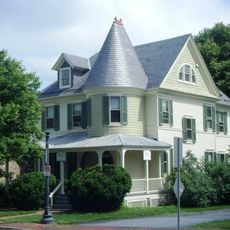
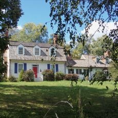
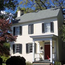
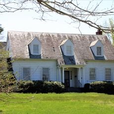
Montgomery Village, Census-designated place in Montgomery County, Maryland.

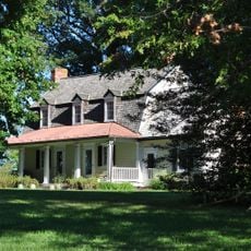
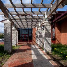
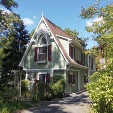
Montgomery Village is a planned residential community with neighborhoods, pedestrian paths, parks, and recreational areas located near Washington D.C. The community connects different residential sections through linked walkways and shared green spaces throughout.

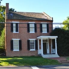
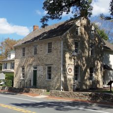
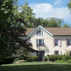
Kettler Brothers founded the community in 1962 and began constructing the first homes in 1967 as a planned suburban development north of Washington D.C. The project grew into an established residential community over the following decades.

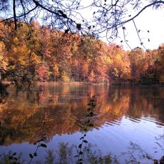
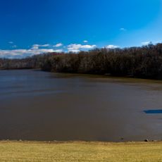
North Creek Lake and its surrounding trails serve as gathering spots where neighbors meet for seasonal markets, summer concerts, and outdoor activities. These spaces show how the community comes together throughout the year and reflects the social rhythms of daily life here.

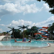
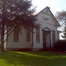
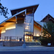
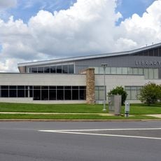
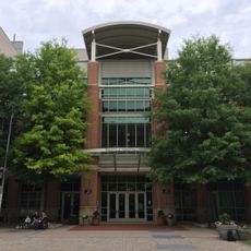
The Montgomery Village Foundation operates multiple swimming pools, tennis courts, and community centers accessible through membership. Visitors should check ahead to learn about facility availability and current programs.

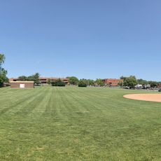
A former golf course was transformed into an 80-acre park with designated dog areas and new residential developments. This conversion shows how the community adapts to changing needs of residents.

The community of curious travelers

AroundUs brings together thousands of curated places, local tips, and hidden gems, enriched daily by 60,000 contributors worldwide.

Start exploring
Elevation above the sea
113 m
Shares border with
Damascus, Gaithersburg
GPS coordinates
39.17640,-77.19280
Latest update
December 7, 2025 19:27
Around this place
Seneca Creek State Park
United States of America

Seneca Creek State Park

6.5 km
Lake Needwood
United States of America

Lake Needwood

8.2 km
Third Addition to Rockville and Old St. Mary's Church and Cemetery
United States of America

Third Addition to Rockville and Old St. Mary's Church and Cemetery

11.3 km
Glenview Farm
United States of America

Glenview Farm

11.4 km
Beall-Dawson House
United States of America

Beall-Dawson House

10.8 km
Gaithersburg Latitude Observatory
United States of America

Gaithersburg Latitude Observatory

4.5 km
Lakelands Park
United States of America

Lakelands Park

7.7 km
Latvian Museum
United States of America

Latvian Museum

10.1 km
West Montgomery Avenue Historic District
United States of America

West Montgomery Avenue Historic District

10.6 km
The Ridge
United States of America

The Ridge

6.5 km
Bingham-Brewer House
United States of America

Bingham-Brewer House

10.9 km
Frieda Fromm-Reichmann Cottage
United States of America

Frieda Fromm-Reichmann Cottage

10.7 km
Layton House
United States of America

Layton House

5.8 km
Brookeville Historic District
United States of America

Brookeville Historic District

11.5 km
Gaithersburg Water Park
United States of America

Gaithersburg Water Park

4.9 km
Clover Hill
United States of America

Clover Hill

9.1 km
Oaks II
United States of America

Oaks II

6.4 km
Clarksburg School
United States of America

Clarksburg School

10.2 km
Lake Bernard Frank
United States of America

Lake Bernard Frank

10.4 km
Rachel Carson Conservation Park
United States of America

Rachel Carson Conservation Park

11 km
Montgomery County Circuit Courthouses
United States of America

Montgomery County Circuit Courthouses

11 km
David Scull Park
United States of America

David Scull Park

10.5 km
Black Hill Regional Park
United States of America

Black Hill Regional Park

9.3 km
Olney Library
United States of America

Olney Library

10.9 km
Germantown Library
United States of America

Germantown Library

6.4 km
Gaithersburg Library
United States of America

Gaithersburg Library

2.4 km
Rockville Memorial Library
United States of America

Rockville Memorial Library

10.6 km
Washington Grove Historic District
United States of America

Washington Grove Historic District

4.4 km
Show the full map
Reviews
Share your experience

No review yet

Discussions
Start a discussion...

No discussion yet

« Montgomery Village - Census-designated place in Montgomery County, Maryland » is provided by Around Us (aroundus.com). Images and texts are derived from Wikimedia project under a Creative Commons license. You are allowed to copy, distribute, and modify copies of this page, under the conditions set by the license, as long as this note is clearly visible.

Discover hidden gems everywhere you go!

From secret cafés to breathtaking viewpoints, skip the crowded tourist spots and find places that match your style. Our app makes it easy with voice search, smart filtering, route optimization, and insider tips from travelers worldwide. Download now for the complete mobile experience.

Around Us App Screenshot

A unique approach to discovering new places

Le Figaro

All the places worth exploring

France Info

A tailor-made excursion in just a few clicks

20 Minutes

Around Us
Travel Guide & Maps
Download

Send to your phone

QR Code
1

Open the camera app on your mobile.

2

Point at the QR code with your camera. A notification will appear.

3

Tap the notification to open the link.