Wilbraham, town in Massachusetts, United States
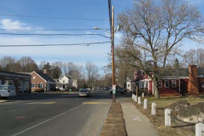
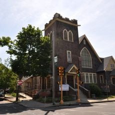
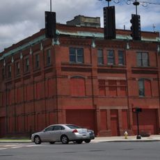
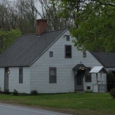
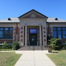
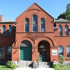
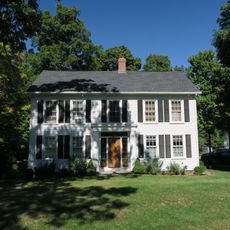
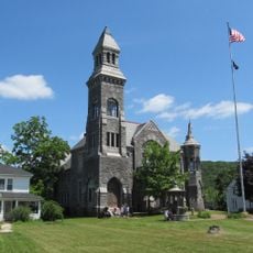
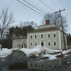
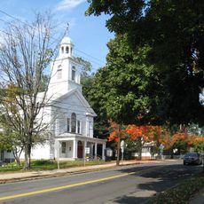
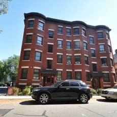
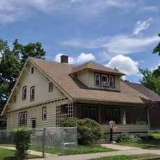
Wilbraham is a small town in Hampden County, Massachusetts, marked by residential neighborhoods with houses set back from streets and well-maintained lawns. The town features tree-lined streets, small churches and schoolhouses, and local shops that serve everyday needs.
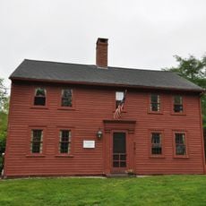
Wilbraham was established around 1675 by settlers from Springfield and was initially known as an outlying area. The place became an independent town in 1763 and remained primarily agricultural before transforming into a residential community after World War II.
Wilbraham's name comes from its settlement period and the community places great importance on neighborly connections and shared traditions. The town displays its New England character through small churches, schoolhouses, and classic homes that reflect how residents live and relate to one another.
The town is easy to reach from nearby cities but remains quiet and relaxed, with basic services like schools, small shops, and restaurants for everyday needs. Most people drive to nearby towns for larger shopping or entertainment options, making a car practical for getting around.
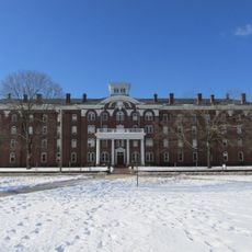
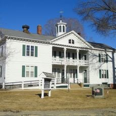
The town was home to Wesleyan Academy, a school founded in 1825 that held historical importance for education in the region. This institution shaped local development and showed how early residents valued learning and education.
The community of curious travelers
AroundUs brings together thousands of curated places, local tips, and hidden gems, enriched daily by 60,000 contributors worldwide.