Hampden County

Log in to your account

AroundUs is a community-driven map of interesting places, built by curious explorers like you. It grows with every review, story, and photo you share.
Connect to save your favorite spots, contribute locations, and create personalized routes.
By continuing, you accept our Terms and Conditions and our Privacy Policy
Add to collection
Map
Suggest a change
Share

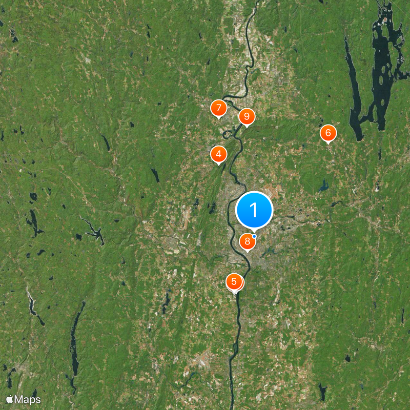
Hampden County, Administrative county in Western Massachusetts, United States

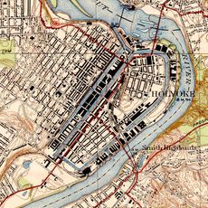
Hampden County is an administrative division in Western Massachusetts that spreads across the Connecticut River Valley. The region includes major urban centers like Springfield, Holyoke, and Chicopee as its main population hubs.

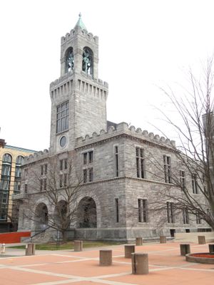
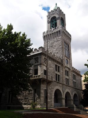
The county was created in 1812 from Hampshire County, with Springfield chosen as its seat due to rapid population growth in the area. This separation helped manage an expanding region more effectively.

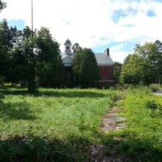
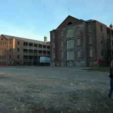
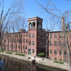
The county is home to the Springfield Armory National Historic Site and several educational institutions like Springfield College and Holyoke Community College. These places shape how locals and visitors connect with the area's industrial and academic past.

You can reach county administrative offices during business hours in Springfield for information about local services and county matters. The city sits centrally within the county, making it a convenient hub for visitors exploring the entire region.

The county operates without a formal county government, as a special state system manages administrative duties while certain officials are still elected to specific roles. This unusual setup makes it an interesting example of alternative governance structures.

Location: Massachusetts

Inception: 1812

Capital city: Springfield

Shares border with: Hampshire County, Worcester County, Tolland County, Hartford County, Litchfield County, Berkshire County, Capitol Planning Region, Northeastern Connecticut Planning Region, Northwest Hills Planning Region

Website: http://pvpc.org

GPS coordinates: 42.12756,-72.57131

Latest update: December 6, 2025 21:26

Around this place
Show the full map
Naismith Memorial Basketball Hall of Fame
United States of America

Naismith Memorial Basketball Hall of Fame

3.9 km
Six Flags New England
United States of America

Six Flags New England

10.7 km
Bizarro
United States of America

Bizarro

10.4 km
MassMutual Center
United States of America

MassMutual Center

3.1 km
Mount Tom
United States of America

Mount Tom

14.2 km
Wicked Cyclone
United States of America

Wicked Cyclone

10.3 km
Mount Holyoke
United States of America

Mount Holyoke

19.3 km
Forest Park
United States of America

Forest Park

6 km
Batman – The Dark Knight
United States of America

Batman – The Dark Knight

10.8 km
Dinosaur Footprints Reservation
United States of America

Dinosaur Footprints Reservation

13.4 km
Calvin Coolidge Presidential Library and Museum
United States of America

Calvin Coolidge Presidential Library and Museum

21.7 km
Eric Carle Museum of Picture Book Art
United States of America

Eric Carle Museum of Picture Book Art

21.8 km
Post-Attack Command and Control System Facility, Hadley
United States of America

Post-Attack Command and Control System Facility, Hadley

19.9 km
Bare Mountain
United States of America

Bare Mountain

19.8 km
Springfield Museums
United States of America

Springfield Museums

2.9 km
J. A. Skinner State Park
United States of America

J. A. Skinner State Park

19.7 km
Thunderbolt
United States of America

Thunderbolt

10.5 km
Calvin Coolidge House
United States of America

Calvin Coolidge House

22.8 km
Otis Reservoir
United States of America

Otis Reservoir

38.8 km
Holyoke Canal System
United States of America

Holyoke Canal System

9.3 km
Gotham City Gauntlet: Escape from Arkham Asylum
United States of America

Gotham City Gauntlet: Escape from Arkham Asylum

10.3 km
Provin Mountain
United States of America

Provin Mountain

12.5 km
Iron Horse Music Hall
United States of America

Iron Horse Music Hall

21.9 km
Smith College Museum of Art
United States of America

Smith College Museum of Art

22 km
Memorial Bridge (Massachusetts)
United States of America

Memorial Bridge (Massachusetts)

3.7 km
Ashley Reservoir
United States of America

Ashley Reservoir

9.1 km
Mount Norwottuck
United States of America

Mount Norwottuck

20.4 km
Mulberry Street
United States of America

Mulberry Street

2.9 km
Show the full map

Reviews

Visited this place? Tap the stars to rate it and share your experience / photos with the community! Try now! You can cancel it anytime.

Administrative divisions
« Hampden County - Administrative county in Western Massachusetts, United States » is provided by Around Us (aroundus.com). Images and texts are derived from Wikimedia project under a Creative Commons license. You are allowed to copy, distribute, and modify copies of this page, under the conditions set by the license, as long as this note is clearly visible.

Discover hidden gems everywhere you go!

From secret cafés to breathtaking viewpoints, skip the crowded tourist spots and find places that match your style. Our app makes it easy with voice search, smart filtering, route optimization, and insider tips from travelers worldwide. Download now for the complete mobile experience.

Around Us App Screenshot

A unique approach to discovering new places

Le Figaro

All the places worth exploring

France Info

A tailor-made excursion in just a few clicks

20 Minutes