Springfield

Log in to your account

AroundUs is a community-driven map of interesting places, built by curious explorers like you. It grows with every review, story, and photo you share.
Connect to save your favorite spots, contribute locations, and create personalized routes.
Continue with Google
Continue with Apple
Continue with X
Continue with Facebook
Continue with email
By continuing, you accept our Terms and Conditions and our Privacy Policy
Create an account
Add to collection
Map
Suggest a change
Share

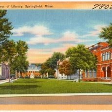
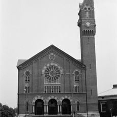
Springfield, County seat in Massachusetts, United States.

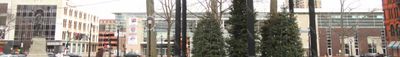
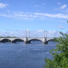
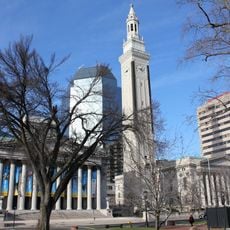
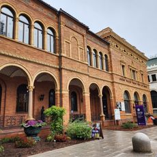
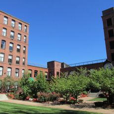
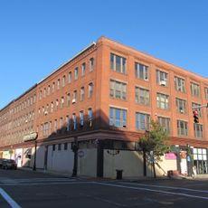
The city spreads across several hills and valleys near the Connecticut River, with downtown office buildings, residential streets, parks, and former industrial areas each occupying different sections. Older brick row houses stand near the center, while suburban homes and shopping districts fill the outer neighborhoods connected by wide avenues and narrow side streets.

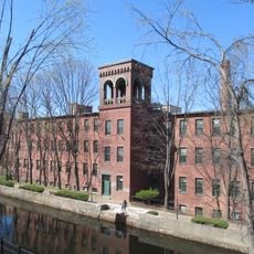
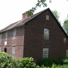
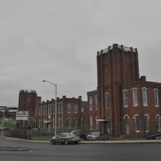
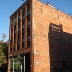
William Pynchon founded the settlement in 1636, creating one of the first inland trading posts in New England. Industrial growth during the 19th and early 20th centuries brought factories, rail yards, and workers from many countries, shaping the neighborhoods that exist today.

Basketball culture runs deep here, with courts in most neighborhoods and local teams practicing in gyms throughout the city. Immigrant communities from Puerto Rico, Poland, Vietnam and other countries shape daily life with family-run restaurants, street festivals, and neighborhood groceries that give each district its own character.

Interstate 91 runs through the center, making the city easy to reach by car from Boston, Hartford, or Albany. Local buses connect downtown with most neighborhoods, though some residential areas require walking up slopes or waiting for less frequent service.

Theodor Geisel, better known as Dr. Seuss, grew up here and later set several of his stories in places inspired by local streets and parks. The Dr. Seuss National Memorial in the Quadrangle displays sculptures of characters from his books, placed in a garden visitors can walk through year-round.

Location: Hampden County

Inception: 1636

Founders: William Pynchon

Shares border with: Chicopee

Website: http://springfieldma.gov

GPS coordinates: 42.10188,-72.58867

Latest update: December 16, 2025 02:54

Photos
Around this place
United States of America

Dr. Seuss National Memorial Sculpture Garden

312 m
Forest Park
United States of America

Forest Park

3.4 km
Ames Manufacturing Company
United States of America

Ames Manufacturing Company

5.5 km
Springfield Museums
United States of America

Springfield Museums

338 m
United States of America

Amazing World of Dr. Seuss Museum

274 m
Memorial Bridge
United States of America

Memorial Bridge

619 m
United States of America

Mulberry Street

874 m
Springfield Municipal Group
United States of America

Springfield Municipal Group

147 m
Josiah Day House
United States of America

Josiah Day House

2.5 km
Springfield Museums
United States of America

Springfield Museums

356 m
Water Shops Armory
United States of America

Water Shops Armory

2.2 km
First Church of Christ, Congregational
United States of America

First Church of Christ, Congregational

145 m
Milton-Bradley Company
United States of America

Milton-Bradley Company

454 m
Basilica of St. Stanislaus
United States of America

Basilica of St. Stanislaus

5.1 km
Hampden County Courthouse
United States of America

Hampden County Courthouse

179 m
United States of America

Stone Dog

3.3 km
United States of America

Connecticut River Walk Park

450 m
Edward Bellamy House
United States of America

Edward Bellamy House

6 km
Masonic Temple
United States of America

Masonic Temple

747 m
City Hall
United States of America

City Hall

5.6 km
Christ Church Cathedral
United States of America

Christ Church Cathedral

288 m
North Congregational Church
United States of America

North Congregational Church

498 m
Springfield District Court
United States of America

Springfield District Court

253 m
St. John's Congregational Church & Parsonage-Parish for Working Girls
United States of America

St. John's Congregational Church & Parsonage-Parish for Working Girls

1.8 km
Stacy Building
United States of America

Stacy Building

481 m
Baystate Corset Block
United States of America

Baystate Corset Block

517 m
Winchester Square Historic District
United States of America

Winchester Square Historic District

2.4 km
Worthy Hotel
United States of America

Worthy Hotel

390 m
Show the full map
Reviews

Visited this place? Tap the stars to rate it and share your experience / photos with the community! Try now! You can cancel it anytime.

« Springfield - County seat in Massachusetts, United States » is provided by Around Us (aroundus.com). Images and texts are derived from Wikimedia project under a Creative Commons license. You are allowed to copy, distribute, and modify copies of this page, under the conditions set by the license, as long as this note is clearly visible.

Discover hidden gems everywhere you go!

From secret cafés to breathtaking viewpoints, skip the crowded tourist spots and find places that match your style. Our app makes it easy with voice search, smart filtering, route optimization, and insider tips from travelers worldwide. Download now for the complete mobile experience.

Around Us App Screenshot

A unique approach to discovering new places

Le Figaro

All the places worth exploring

France Info

A tailor-made excursion in just a few clicks

20 Minutes