
Shirley, human settlement in Arkansas, USA
Location: Van Buren County
Elevation above the sea: 168 m
GPS coordinates: 35.65583,-92.31667
Latest update: March 3, 2025 11:06
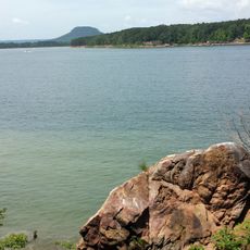
Greers Ferry Lake
21.7 km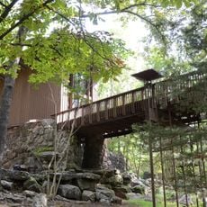
Shaheen-Goodfellow Weekend Cottage
25.6 km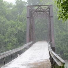
Middle Fork of the Little Red River Bridge
781 m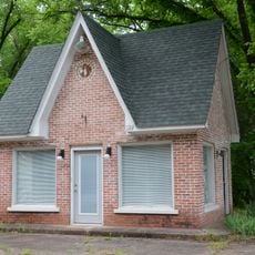
Walter Patterson Filling Station
14.6 km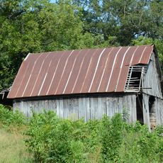
John Avey Barn
27.4 km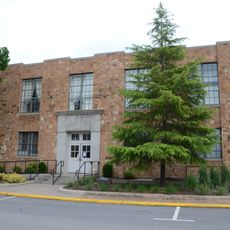
Van Buren County Courthouse
14.6 km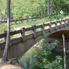
Old Highway 16 Bridge
13 km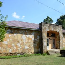
Alco School
26.7 km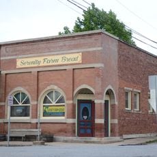
Farmers Bank Building
29.2 km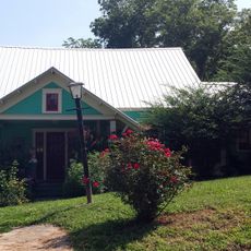
Dr. J.O. Cotton House
29.2 km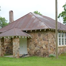
Luber School
24.3 km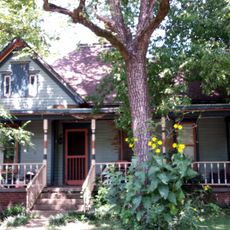
Dr. Clay House
29.2 km
Joclin-Bradley-Bowling House
14.8 km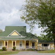
Collums-Baker House
24.5 km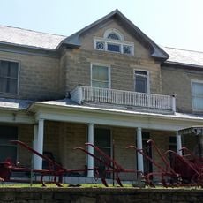
Columbus Hatchett House
29 km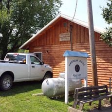
American Legion Post No. 131
29.3 km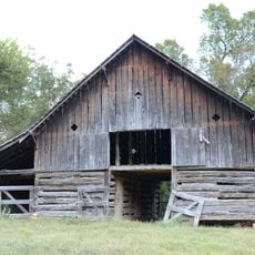
Orvall Gammill Barn
28.6 km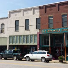
Leslie Commercial Historic District
29.3 km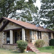
Walter Patterson House
13.6 km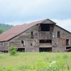
H.S. Mabry Barn
25.8 km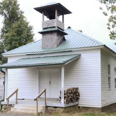
Brewer School
12.2 km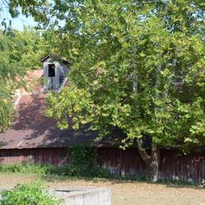
Clarence Anderson Barn
26.6 km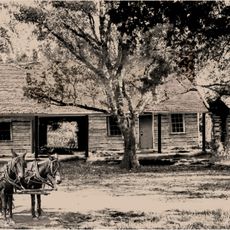
Samuel Brown House
24.9 km
Leslie-Rolen House
29.1 km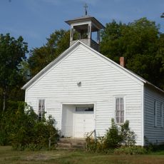
West Richwoods Church & School
23.1 km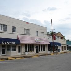
Clinton Commercial Historic District
14.5 km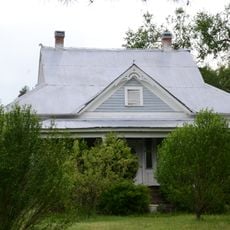
Art Scanlan House
24.2 km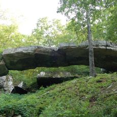
Natural Bridge of Arkansas
12.3 kmReviews
Visited this place? Tap the stars to rate it and share your experience / photos with the community! Try now! You can cancel it anytime.
Discover hidden gems everywhere you go!
From secret cafés to breathtaking viewpoints, skip the crowded tourist spots and find places that match your style. Our app makes it easy with voice search, smart filtering, route optimization, and insider tips from travelers worldwide. Download now for the complete mobile experience.

A unique approach to discovering new places❞
— Le Figaro
All the places worth exploring❞
— France Info
A tailor-made excursion in just a few clicks❞
— 20 Minutes