Chest opened
+${chestReward.xp} XP
Explorer
NOUVEAU ×${chestReward.collectible.quantity}
tapez pour fermer
Chest locked

Open chests in the app

Around Us is built for your phone — chests unlock when you walk, explore and capture nearby places.

Enable Location

We need your location to show you interesting places around you

Discover nearby places

Find interesting locations and hidden gems around you

Precise directions

Get accurate directions and distances to places

Your location is never shared with other users. It's only used when you tap the location button.

Cloverdale

Log in to your account

Start exploring — it's free

Trusted by 72,887 travelers worldwide

Continue with Google
Continue with Apple
or

We will send you a code to connect

By continuing, you accept our Terms and Conditions and our Privacy Policy

Check your inbox

We've sent a pincode in your inbox. Please enter the code below.

Discussion Reviews 3 Photos
26.9k Popularity

Cloverdale, Gateway city in Sonoma County, California, United States.

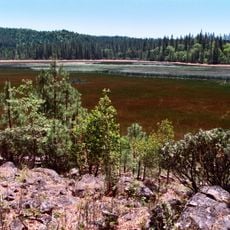
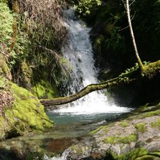
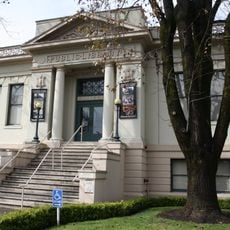
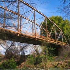
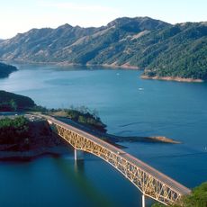
Cloverdale is a city at the northern edge of Sonoma County, stretching across rolling hills and valleys near the Russian River. The town features a mix of residential neighborhoods, farmland, and local shops that shape daily community life.

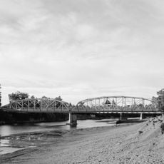
The arrival of the San Francisco and North Pacific Railroad in 1872 transformed the town from a stagecoach stop into an officially incorporated city. This rail connection enabled regular transportation and spurred the settlement's growth.

The Cloverdale Rancheria of Pomo Indians maintains its tribal headquarters here, shaping the community's cultural identity. This Native American presence forms an important part of how local people connect with the land and region.

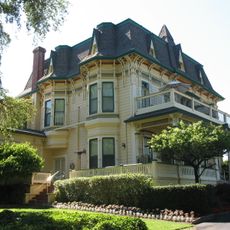
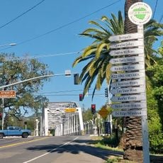
The town is easily accessible between larger regional cities and works well as a day trip or base for exploring Wine Country. Visitors find typical small-town amenities including restaurants, shops, and local services.

French settlers established Icaria Speranza, a utopian colony south of town in 1881 with its own homes and farmland. The experiment lasted only until 1886, yet it left marks on local history showing how European immigrants sought to build alternative communities in California.

The community of curious travelers

AroundUs brings together thousands of curated places, local tips, and hidden gems, enriched daily by 60,000 contributors worldwide.

Start exploring
Location
Inception
1872
GPS coordinates
38.79917,-123.01722
Latest update
December 20, 2025 14:28
Around this place
Frog Woman Rock
United States of America

Frog Woman Rock

13 km
Cobb Mountain
United States of America

Cobb Mountain

24 km
Boggs Lake Ecological Reserve
United States of America

Boggs Lake Ecological Reserve

23 km
Madrona Manor
United States of America

Madrona Manor

24.5 km
Healdsburg Memorial Bridge
United States of America

Healdsburg Memorial Bridge

25.7 km
Hand Fan Museum
United States of America

Hand Fan Museum

24.5 km
Galbreath Wildlands Preserve
United States of America

Galbreath Wildlands Preserve

22.8 km
United States of America

Highland Springs Reservoir

18.6 km
Fetzer-Bonterra vineyards
United States of America

Fetzer-Bonterra vineyards

21.2 km
California Coast Ranges Biosphere Reserve
United States of America

California Coast Ranges Biosphere Reserve

10.2 km
Healdsburg Carnegie Library
United States of America

Healdsburg Carnegie Library

24.7 km
United States of America

Geyserville Union School

14 km
Ferrari-Carano vineyards and winery
United States of America

Ferrari-Carano vineyards and winery

24.1 km
United States of America

Adobe Reservoir

19.3 km
Lambert Bridge
United States of America

Lambert Bridge

17.9 km
Healdsburg Veterans Memorial Beach
United States of America

Healdsburg Veterans Memorial Beach

25.8 km
United States of America

Adobe Reservoir

19.3 km
Gould-Shaw House
United States of America

Gould-Shaw House

866 m
Lake Sonoma
United States of America

Lake Sonoma

8 km
United States of America

Deadman Cliff

13 km
United States of America

Healdsburg Golf Club at Tayman Park

24.7 km
United States of America

J. Rickards Winery

9 km
United States of America

Statue, Work of art

5.3 km
United States of America

Russian River Overlook

22.8 km
United States of America

Lake Sonoma Overlook

9.8 km
United States of America

Laura's Point

9.6 km
United States of America

Scenic viewpoint

12.5 km
United States of America

Scenic viewpoint

12.3 km
Show the full map
Reviews
Share your experience

No review yet

Discussions
Start a discussion...

No discussion yet

« Cloverdale - Gateway city in Sonoma County, California, United States » is provided by Around Us (aroundus.com). Images and texts are derived from Wikimedia project under a Creative Commons license. You are allowed to copy, distribute, and modify copies of this page, under the conditions set by the license, as long as this note is clearly visible.

Discover hidden gems everywhere you go!

From secret cafés to breathtaking viewpoints, skip the crowded tourist spots and find places that match your style. Our app makes it easy with voice search, smart filtering, route optimization, and insider tips from travelers worldwide. Download now for the complete mobile experience.

Around Us App Screenshot

A unique approach to discovering new places

Le Figaro

All the places worth exploring

France Info

A tailor-made excursion in just a few clicks

20 Minutes

Around Us
Travel Guide & Maps
Download

Send to your phone

QR Code
1

Open the camera app on your mobile.

2

Point at the QR code with your camera. A notification will appear.

3

Tap the notification to open the link.