Sonoma County

Log in to your account

AroundUs is a community-driven map of interesting places, built by curious explorers like you. It grows with every review, story, and photo you share.
Connect to save your favorite spots, contribute locations, and create personalized routes.
By continuing, you accept our Terms and Conditions and our Privacy Policy
Add to collection
Map
Suggest a change
Share

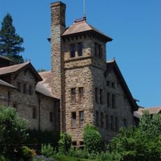
Sonoma County, County in Northern California, United States.

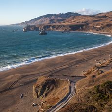
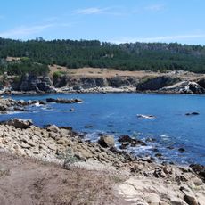
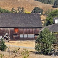
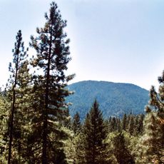
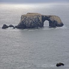
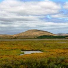
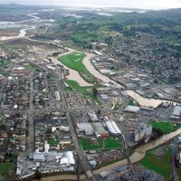
Sonoma County is an administrative division in northern California, reaching from the Pacific coast to inland valleys and hills. The territory covers about 4,579 square kilometers (1,768 square miles) with nine incorporated cities, including Santa Rosa as the largest community and seat of government.

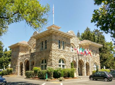
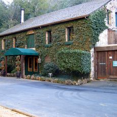
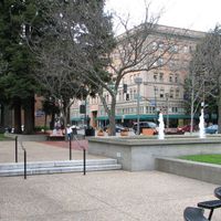
The county formed in 1850 as one of California's original counties after the state joined the Union. Santa Rosa became the administrative seat in 1854 and developed into the regional center.

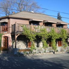
The name comes from Pueblo de Sonoma, a former mission settlement at the northern end of California's mission trail. Many places carry Spanish names that reflect the early settlement period and remain in everyday use.

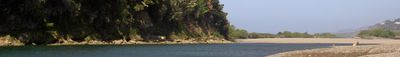
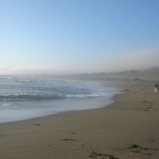
A public bus network connects all nine cities and many smaller communities, with Santa Rosa serving as a central hub. Coastal areas tend to be cooler and foggier than inland valleys, so bringing layered clothing is advisable.

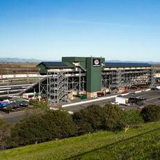
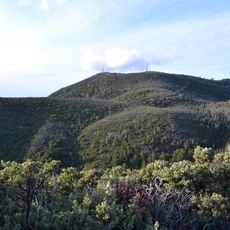
The region hosts several geothermal power plants that tap into natural underground steam to generate electricity. These facilities sit in the Mayacamas mountain range and supply power to surrounding communities.

Location: California

Inception: 1850

Capital city: Santa Rosa

Shares border with: Mendocino County, Lake County, Napa County, Solano County, Marin County

Website: https://sonomacounty.ca.gov

GPS coordinates: 38.51000,-122.93000

Latest update: December 4, 2025 19:02

Around this place
Show the full map
Bohemian Grove
United States of America

Bohemian Grove

7.9 km
The French Laundry
United States of America

The French Laundry

50.7 km
Fort Ross
United States of America

Fort Ross

27.3 km
Sonoma Raceway
United States of America

Sonoma Raceway

56.8 km
Bodega Bay
United States of America

Bodega Bay

27.1 km
Jack London State Historic Park
United States of America

Jack London State Historic Park

37.6 km
Armstrong Redwoods State Natural Reserve
United States of America

Armstrong Redwoods State Natural Reserve

7.6 km
Goat Rock Beach
United States of America

Goat Rock Beach

18.6 km
Salt Point State Park
United States of America

Salt Point State Park

35.2 km
East Bay Walls
United States of America

East Bay Walls

34 km
Petrified Forest
United States of America

Petrified Forest

25.9 km
Charles M. Schulz Museum and Research Center
United States of America

Charles M. Schulz Museum and Research Center

17.9 km
Culinary Institute of America at Greystone
United States of America

Culinary Institute of America at Greystone

38.9 km
Buena Vista Winery
United States of America

Buena Vista Winery

50.1 km
Olompali State Historic Park
United States of America

Olompali State Historic Park

50.4 km
Safari West
United States of America

Safari West

21.1 km
Wolf House
United States of America

Wolf House

38.1 km
Sonoma Developmental Center
United States of America

Sonoma Developmental Center

40.2 km
Sugarloaf Ridge State Park
United States of America

Sugarloaf Ridge State Park

38.3 km
McDonald Mansion
United States of America

McDonald Mansion

20.8 km
Cobb Mountain
United States of America

Cobb Mountain

37 km
Robert Louis Stevenson State Park
United States of America

Robert Louis Stevenson State Park

32.6 km
Bothe-Napa Valley State Park
United States of America

Bothe-Napa Valley State Park

36.3 km
Sonoma Coast State Park
United States of America

Sonoma Coast State Park

20.1 km
Greater Farallones National Marine Sanctuary
United States of America

Greater Farallones National Marine Sanctuary

31.6 km
San Pablo Bay National Wildlife Refuge
United States of America

San Pablo Bay National Wildlife Refuge

61.8 km
Sonoma Mountain
United States of America

Sonoma Mountain

37.3 km
Schramsberg Vineyards
United States of America

Schramsberg Vineyards

34.3 km
Show the full map

Reviews

Visited this place? Tap the stars to rate it and share your experience / photos with the community! Try now! You can cancel it anytime.

Administrative divisions
« Sonoma County - County in Northern California, United States » is provided by Around Us (aroundus.com). Images and texts are derived from Wikimedia project under a Creative Commons license. You are allowed to copy, distribute, and modify copies of this page, under the conditions set by the license, as long as this note is clearly visible.

Discover hidden gems everywhere you go!

From secret cafés to breathtaking viewpoints, skip the crowded tourist spots and find places that match your style. Our app makes it easy with voice search, smart filtering, route optimization, and insider tips from travelers worldwide. Download now for the complete mobile experience.

Around Us App Screenshot

A unique approach to discovering new places

Le Figaro

All the places worth exploring

France Info

A tailor-made excursion in just a few clicks

20 Minutes