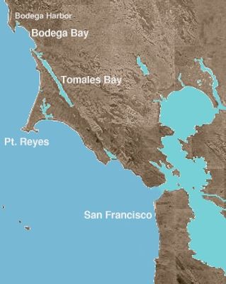
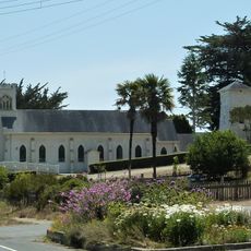
Bodega Bay, Bay and historic district in Sonoma County, California
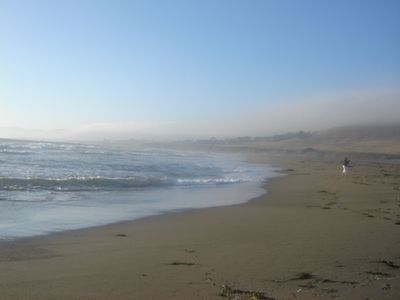
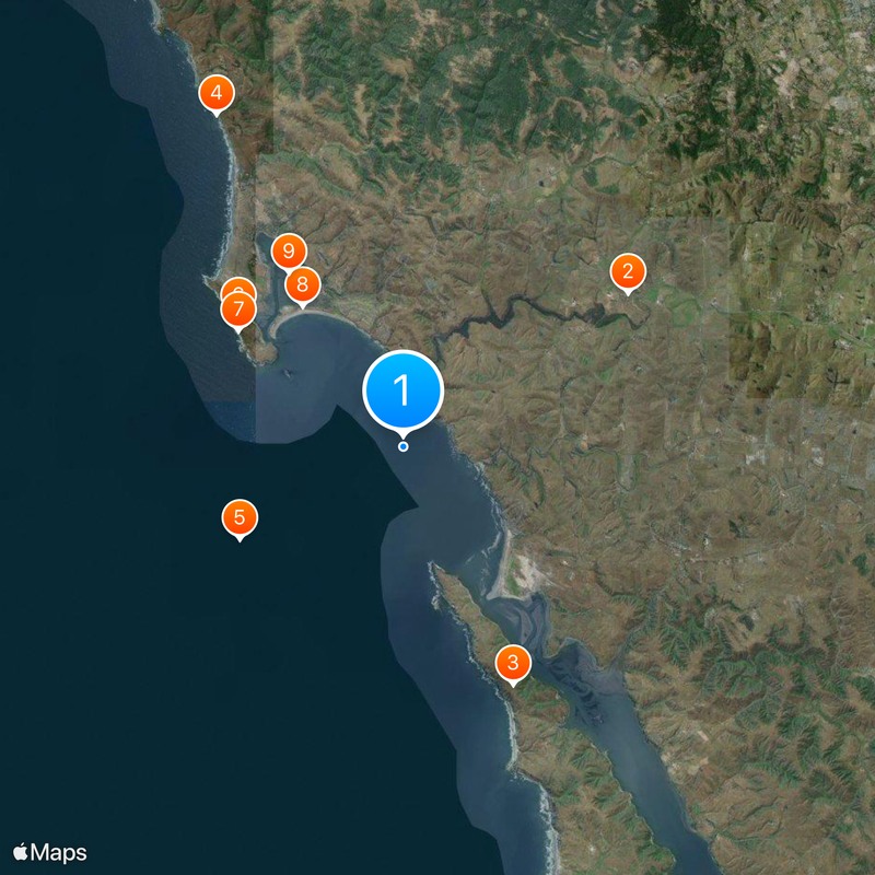
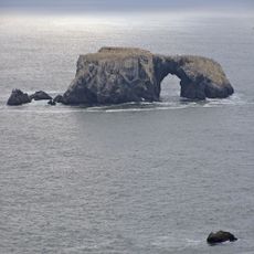
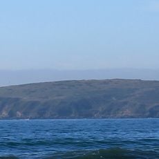
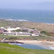
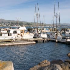
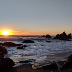
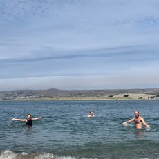
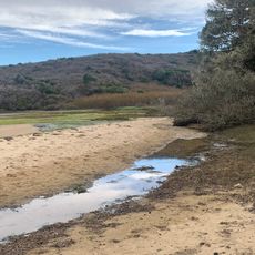
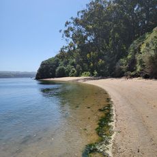
Bodega Bay is a bay and historic district on the Pacific coast in Sonoma County, California, sheltered by Bodega Head, a rocky peninsula that separates the ocean from the inner harbor. A breakwater extends from the southern shore, creating an anchorage for fishing boats and recreational vessels.
Spanish navigators charted this bay in 1775, and the area later became a supply port for Russian settlers at Fort Ross during the early 19th century. After the Russians withdrew, a small fishing community developed here, growing with the construction of the breakwater in the 20th century.
The name comes from Juan Francisco de la Bodega y Quadra, a Spanish navigator of the late 18th century whose explorations mapped this coastline. Fishers today still sell their catch directly at the harbor, while visitors watch boats return with crab and salmon.
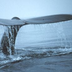
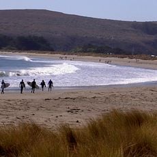
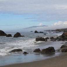
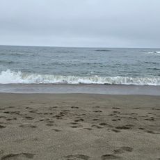
Doran regional park on the southern shore offers access to the beach and campgrounds where anglers fish at the mouth. Whale watching tours depart from the harbor, especially during spring and fall migrations.
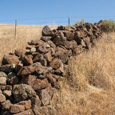
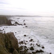
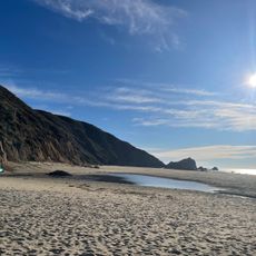
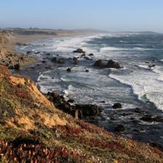
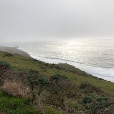
The San Andreas Fault runs through Bodega Head, placing the harbor on the Pacific Plate while the town sits on the North American Plate. Visitors can see the fault line at the head, where a granite hill meets sandstone.
The community of curious travelers
AroundUs brings together thousands of curated places, local tips, and hidden gems, enriched daily by 60,000 contributors worldwide.