Chest opened
+${chestReward.xp} XP
Explorer
NOUVEAU ×${chestReward.collectible.quantity}
tapez pour fermer

See the monuments around you in AR Open chests in the app

Around Us is built for your phone — point your camera at the streets and discover the monuments and places around you in augmented reality. Around Us is built for your phone — chests unlock when you walk, explore and capture nearby places.

Enable Location

We need your location to show you interesting places around you

Discover nearby places

Find interesting locations and hidden gems around you

Precise directions

Get accurate directions and distances to places

Your location is never shared with other users. It's only used when you tap the location button.

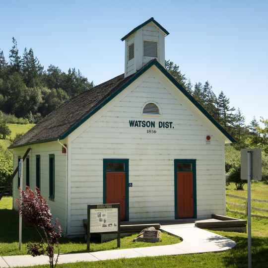
Watson School

Log in to your account

Start exploring — it's free

Trusted by 86,831 travelers worldwide

Continue with Google
Continue with Apple
or

We will send you a code to connect

By continuing, you accept our Terms and Conditions and our Privacy Policy

Check your inbox

We've sent a pincode in your inbox. Please enter the code below.

Discussion Reviews 1 Photos
1.3k Popularity

Watson School, Historic one-room schoolhouse in Sonoma County, United States.

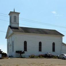
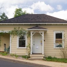
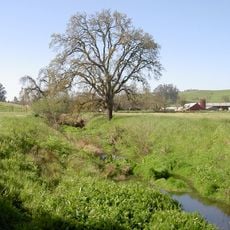
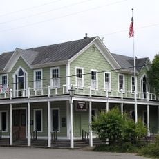
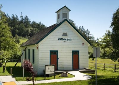
Watson School is a single-room schoolhouse in Sonoma County that keeps its original features from when it was built. The building has a bell tower, double doors, and is covered with redwood siding in the style used over 150 years ago.

James Watson gave land for the school in 1855, and classes began a year later. The building served students for over 100 years before closing in 1967.

Inside, the sloped floor and raised platform where the teacher stood in front of a slate blackboard show how children learned in the 1800s. This layout reflects the formal teaching style of that era.

The school is located along Bodega Highway with parking available for visitors. Picnic tables and restrooms are on the grounds, making it easy to spend time exploring the site at your own pace.

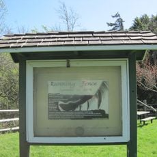
The famous Running Fence art installation of 1976 ran across nearby ranch land, and markers on the school grounds now remind visitors of this unusual artistic project. The art piece has become part of the site's identity over the decades.

The community of curious travelers

AroundUs brings together thousands of curated places, local tips, and hidden gems, enriched daily by 60,000 contributors worldwide.
Start exploring
Location
Inception
1856
GPS coordinates
38.35580,-122.93800
Latest update
September 13, 2026 17:04
Around this place
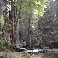
Bohemian Grove
United States of America

Bohemian Grove

8.5 mi
Bodega Bay
United States of America

Bodega Bay

6.8 mi
Running Fence
United States of America

Running Fence

2.7 mi
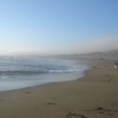
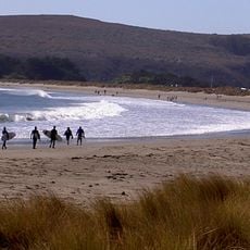
Goat Rock Beach
United States of America

Goat Rock Beach

12 mi
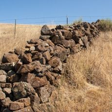
East Bay Walls
United States of America

East Bay Walls

10.5 mi
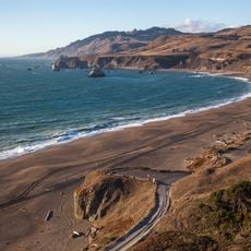
Sonoma Coast State Park
United States of America

Sonoma Coast State Park

7.4 mi
Greater Farallones National Marine Sanctuary
United States of America

Greater Farallones National Marine Sanctuary

10.2 mi
Bodega Head
United States of America

Bodega Head

7.6 mi
Bodega Marine Reserve
United States of America

Bodega Marine Reserve

7.7 mi
Doran Regional Park
United States of America

Doran Regional Park

6.4 mi
Bodega Harbor
United States of America

Bodega Harbor

6.4 mi
Sonoma Coast State Marine Conservation Area
United States of America

Sonoma Coast State Marine Conservation Area

7.1 mi
Tomales Presbyterian Church and Cemetery
United States of America

Tomales Presbyterian Church and Cemetery

7.8 mi
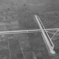
Naval Auxiliary Landing Field Santa Rosa
United States of America

Naval Auxiliary Landing Field Santa Rosa

10.2 mi
Luther Burbank's Gold Ridge Experiment Farm
United States of America

Luther Burbank's Gold Ridge Experiment Farm

6.3 mi
United States of America

Estero Americano State Marine Recreational Management Area

5.3 mi
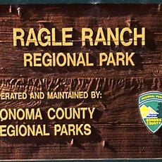
Ragle Ranch Regional Park
United States of America

Ragle Ranch Regional Park

5.8 mi
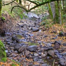
Copeland Creek
United States of America

Copeland Creek

11.6 mi
United States of America

Estero de San Antonio State Marine Recreational Management Area

6.3 mi
Washoe Creek
United States of America

Washoe Creek

11.1 mi
Hinds Hotel
United States of America

Hinds Hotel

6.9 mi
George A. Strout House
United States of America

George A. Strout House

6.7 mi
Petaluma and Santa Rosa Railway Powerhouse
United States of America

Petaluma and Santa Rosa Railway Powerhouse

7 mi
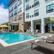
Cambria Hotel
United States of America

Cambria Hotel

11.8 mi
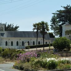
Church of the Assumption, Tomales
United States of America

Church of the Assumption, Tomales

7.9 mi
Doran Beach
United States of America

Doran Beach

6.2 mi
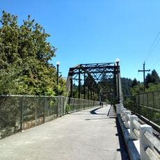
Guerneville Bridge
United States of America

Guerneville Bridge

10.5 mi
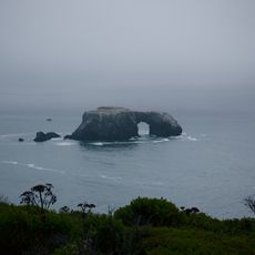
Arched Rock Beach
United States of America

Arched Rock Beach

7.4 mi
Show the full map
Reviews
Share your experience

No review yet

Discussions
Start a discussion...

No discussion yet

« Watson School - Historic one-room schoolhouse in Sonoma County, United States » is provided by Around Us (aroundus.com). Images and texts are derived from Wikimedia project under a Creative Commons license. You are allowed to copy, distribute, and modify copies of this page, under the conditions set by the license, as long as this note is clearly visible.

Discover hidden gems everywhere you go!

From secret cafés to breathtaking viewpoints, skip the crowded tourist spots and find places that match your style. Our app makes it easy with voice search, smart filtering, route optimization, and insider tips from travelers worldwide. Download now for the complete mobile experience.
Around Us App Screenshot

A unique approach to discovering new places

Le Figaro

All the places worth exploring

France Info

A tailor-made excursion in just a few clicks

20 Minutes

Around Us
Travel Guide & Maps
Download

Send to your phone

QR Code
1

Open the camera app on your mobile.

2

Point at the QR code with your camera. A notification will appear.

3

Tap the notification to open the link.