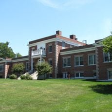
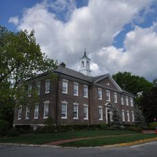
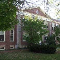
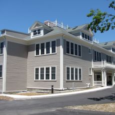
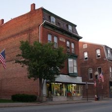
Ayer, town in Middlesex County, Massachusetts, United States of America
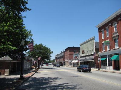
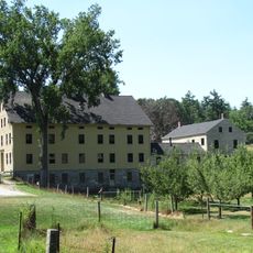
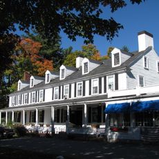
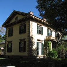
Ayer is a town in Middlesex County, Massachusetts, located near Boston and featuring the typical character of a New England small town. The community has a central area with local businesses and residential neighborhoods that spread outward from this core.
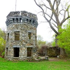
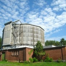
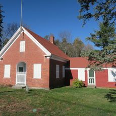
The town was founded in the 19th century and developed from origins in industry and farming. These early economic activities shaped how the community grew and defined itself over time.
The town is accessible by public transportation from Boston and has parking available in the center. Visitors can find restaurants, cafes, and local shops within easy walking distance.
The community of curious travelers
AroundUs brings together thousands of curated places, local tips, and hidden gems, enriched daily by 60,000 contributors worldwide.