Brattleboro

Log in to your account

AroundUs is a community-driven map of interesting places, built by curious explorers like you. It grows with every review, story, and photo you share.
Connect to save your favorite spots, contribute locations, and create personalized routes.
By continuing, you accept our Terms and Conditions and our Privacy Policy
Add to collection
Map
Suggest a change
Share

Brattleboro, New England town in Windham County, Vermont.

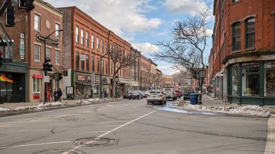
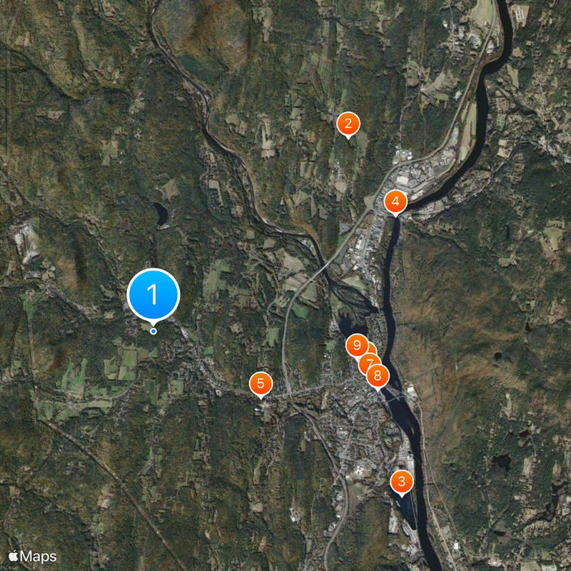
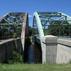
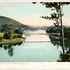
Brattleboro is a New England town in Windham County, southeastern Vermont, sitting where the West River flows into the Connecticut River. Streets climb from the waterfront through wooded slopes to residential neighborhoods and commercial districts spread across several ridges.

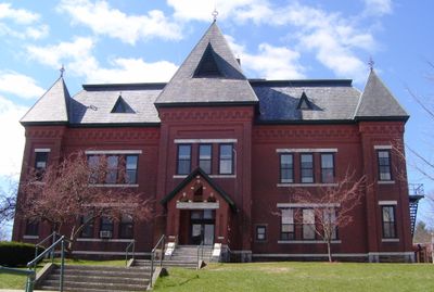
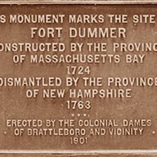
A fort built in 1724 marked the first permanent European settlement in the region and served as a trading post during conflicts with French and indigenous forces. In the 19th century, the town grew into a center for papermaking and agriculture that drew immigrants from Ireland and Canada.

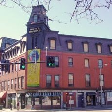
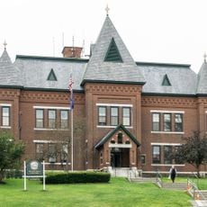
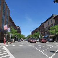
The downtown area holds several art galleries and a cinema housed in a renovated turn-of-the-century theater that still screens films and performances. On weekends, farmers from the surrounding region sell fresh produce at the farmers' market that has drawn visitors to the main square for decades.

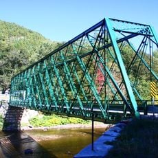
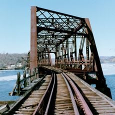
The train station sits about half a mile south of downtown and connects the town to Boston and New York. Visitors exploring the area find walking trails along the river and through the wooded slopes north and west of town.

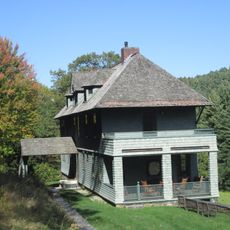
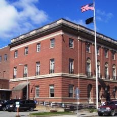
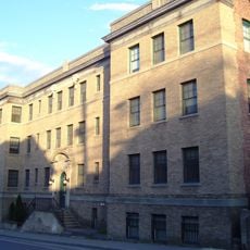
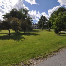
A former mental health facility founded in 1834 now uses its extensive grounds for recovery programs and public walking trails. The institution was among the first in New England to promote humane treatment of mental illness.

Location: Windham County

Inception: 1753

Elevation above the sea: 175 m

Website: http://brattleboro.org

GPS coordinates: 42.86194,-72.61444

Latest update: December 4, 2025 23:05

Photos
Around this place
Show the full map
Naulakha
United States of America

Naulakha

5.8 km
Fort Dummer
United States of America

Fort Dummer

6.3 km
West Dummerston Covered Bridge
United States of America

West Dummerston Covered Bridge

8.3 km
United States Navy Seabees Bridge
United States of America

United States Navy Seabees Bridge

5.7 km
Creamery Covered Bridge
United States of America

Creamery Covered Bridge

2.7 km
Brooks Memorial Library
United States of America

Brooks Memorial Library

4.5 km
Brooks House
United States of America

Brooks House

4.7 km
Brattleboro Museum and Art Center
United States of America

Brattleboro Museum and Art Center

4.9 km
Green River Covered Bridge
United States of America

Green River Covered Bridge

10.6 km
Williamsville Covered Bridge
United States of America

Williamsville Covered Bridge

10.8 km
Deacon John Holbrook House
United States of America

Deacon John Holbrook House

4.3 km
Rice Farm Road Bridge
United States of America

Rice Farm Road Bridge

6 km
William Harris House
United States of America

William Harris House

2.5 km
Brattleboro Downtown Historic District
United States of America

Brattleboro Downtown Historic District

4.6 km
Canal Street–Clark Street Neighborhood Historic District
United States of America

Canal Street–Clark Street Neighborhood Historic District

4.7 km
Lewis Grout House
United States of America

Lewis Grout House

1.4 km
Guilford Center Meetinghouse
United States of America

Guilford Center Meetinghouse

7.8 km
Arthur D. and Emma J. Wyatt House
United States of America

Arthur D. and Emma J. Wyatt House

4.6 km
Dickinson Estate Historic District
United States of America

Dickinson Estate Historic District

5.1 km
Canal Street Schoolhouse
United States of America

Canal Street Schoolhouse

4.8 km
Tontine Building
United States of America

Tontine Building

5.1 km
West Brattleboro Green Historic District
United States of America

West Brattleboro Green Historic District

1.6 km
Homestead-Horton Neighborhood Historic District
United States of America

Homestead-Horton Neighborhood Historic District

4.6 km
Brattleboro Museum and Art Center
United States of America

Brattleboro Museum and Art Center

4.9 km
Madame Sherri's Castle
United States of America

Madame Sherri's Castle

7.7 km
B&M Connecticut River Bridge
United States of America

B&M Connecticut River Bridge

6.2 km
Charles Dana Bridge
United States of America

Charles Dana Bridge

5.4 km
Anna Hunt Marsh Bridge
United States of America

Anna Hunt Marsh Bridge

4.9 km
Show the full map
Reviews

Visited this place? Tap the stars to rate it and share your experience / photos with the community! Try now! You can cancel it anytime.

Administrative divisions
« Brattleboro - New England town in Windham County, Vermont » is provided by Around Us (aroundus.com). Images and texts are derived from Wikimedia project under a Creative Commons license. You are allowed to copy, distribute, and modify copies of this page, under the conditions set by the license, as long as this note is clearly visible.

Discover hidden gems everywhere you go!

From secret cafés to breathtaking viewpoints, skip the crowded tourist spots and find places that match your style. Our app makes it easy with voice search, smart filtering, route optimization, and insider tips from travelers worldwide. Download now for the complete mobile experience.

Around Us App Screenshot

A unique approach to discovering new places

Le Figaro

All the places worth exploring

France Info

A tailor-made excursion in just a few clicks

20 Minutes