Enable Location

We need your location to show you interesting places around you

Discover nearby places

Find interesting locations and hidden gems around you

Precise directions

Get accurate directions and distances to places

Your location is never shared with other users. It's only used when you tap the location button.

Hermann

Log in to your account

Start exploring — it's free

Trusted by 61,982 travelers worldwide

Continue with Google
Continue with Apple
or

We will send you a code to connect

By continuing, you accept our Terms and Conditions and our Privacy Policy

Check your inbox

We've sent a pincode in your inbox. Please enter the code below.

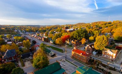
Hermann, County seat in Missouri River Valley, United States

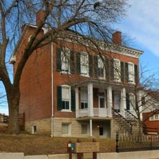
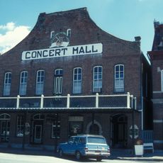
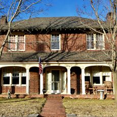
Hermann sits along the Missouri River, characterized by historic brick buildings with clock towers and church steeples rising above the rooflines. The city spreads through a valley setting with a mix of older structures and more recent additions throughout its neighborhoods.

Founded in 1837 by the German Settlement Society as a planned colony, the city was deliberately built in a region that resembled Germany's Rhine Valley. This settlement period shaped the foundations that still define it today.

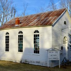
The city expresses German traditions through regular celebrations and festivals that happen throughout the year. Visitors experience this connection walking through streets and attending local events where heritage remains part of daily life.

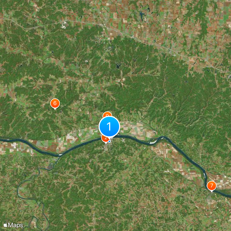
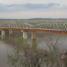
The city sits on the Missouri River with convenient access from the highway, making it suitable for day trips or longer stays. Most attractions cluster in the downtown area, where parking is easy and everything is walkable.

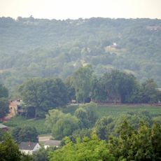
Several wineries use underground caves that originated from earlier quarrying operations and run beneath the city. These natural formations provide constant temperatures ideal for wine storage.

The community of curious travelers

AroundUs brings together thousands of curated places, local tips, and hidden gems, enriched daily by 60,000 contributors worldwide.

Start exploring
Location
Inception
1837
Elevation above the sea
162 m
GPS coordinates
38.69920,-91.43920
Latest update
December 19, 2025 23:18
Around this place
Stone Hill Winery
United States of America

Stone Hill Winery

738 m
Deutschheim State Historic Site
United States of America

Deutschheim State Historic Site

774 m
Christopher S. Bond Bridge
United States of America

Christopher S. Bond Bridge

1.2 km
Hermann Bridge
United States of America

Hermann Bridge

1.2 km
United States of America

Heinrich Gloe House

12.1 km
AME Church of New Haven
United States of America

AME Church of New Haven

21.8 km
Hermann Historic District
United States of America

Hermann Historic District

793 m
United States of America

McKittrick Farmers Mercantile

3.8 km
New Haven Residential Historic District
United States of America

New Haven Residential Historic District

21.7 km
United States of America

The Rotunda

263 m
New Haven Commercial Historic District
United States of America

New Haven Commercial Historic District

21.7 km
United States of America

Shobe-Morrison House

17.5 km
Farmers Mercantile Co. Building
United States of America

Farmers Mercantile Co. Building

20.5 km
United States of America

Kotthoff-Weeks Farm Complex

10.7 km
United States of America

William Poeschel House

2.7 km
United States of America

Vallet-Danuser House

2.2 km
United States of America

Kallmeyers Bluff

1.5 km
United States of America

German School

766 m
United States of America

Daniel boone conservation area

9.9 km
United States of America

Pinnacle Lake

14.5 km
United States of America

Deutschheim State Historic Site

788 m
United States of America

Play Day Farm

20.3 km

Clara Eitmann Messmer Amphitheater

661 m
United States of America

Show Boat Community Theater

575 m
United States of America

Astral Glass Studio

21.7 km
United States of America

Ace of Spades Garden Art

883 m
United States of America

Statue, Work of art

338 m
United States of America

Scenic viewpoint

14.9 km
Show the full map
« Hermann - County seat in Missouri River Valley, United States » is provided by Around Us (aroundus.com). Images and texts are derived from Wikimedia project under a Creative Commons license. You are allowed to copy, distribute, and modify copies of this page, under the conditions set by the license, as long as this note is clearly visible.

Discover hidden gems everywhere you go!

From secret cafés to breathtaking viewpoints, skip the crowded tourist spots and find places that match your style. Our app makes it easy with voice search, smart filtering, route optimization, and insider tips from travelers worldwide. Download now for the complete mobile experience.

Around Us App Screenshot

A unique approach to discovering new places

Le Figaro

All the places worth exploring

France Info

A tailor-made excursion in just a few clicks

20 Minutes

Around Us
Travel Guide & Maps
Download

Send to your phone

QR Code
1

Open the camera app on your mobile.

2

Point at the QR code with your camera. A notification will appear.

3

Tap the notification to open the link.