Enable Location

We need your location to show you interesting places around you

Discover nearby places

Find interesting locations and hidden gems around you

Precise directions

Get accurate directions and distances to places

Your location is never shared with other users. It's only used when you tap the location button.

Gasconade County

Log in to your account

Start exploring — it's free

Trusted by 61,977 travelers worldwide

Continue with Google
Continue with Apple
or

We will send you a code to connect

By continuing, you accept our Terms and Conditions and our Privacy Policy

Check your inbox

We've sent a pincode in your inbox. Please enter the code below.

Gasconade County, Administrative county in east-central Missouri, United States.

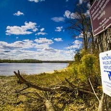
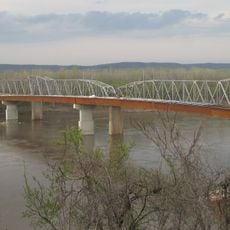
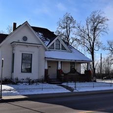
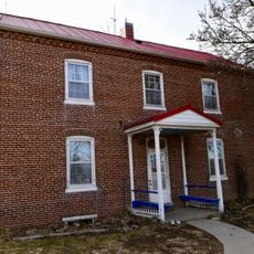
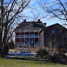
Gasconade County is an administrative county in east-central Missouri, stretching along the Missouri River with agricultural land, vineyards, and waterways woven throughout its territory. The county contains several towns and is shaped by its river valley landscape.

The county was founded in 1820 and took its name from French settlers who came from the Gascony region and named the local river accordingly. French origins blended with later German settlement that transformed the area's character.

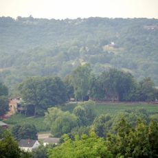
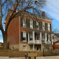
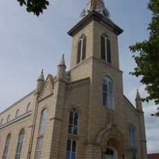
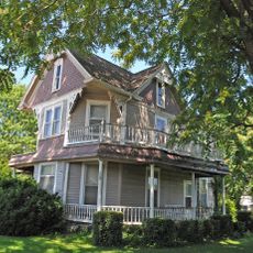
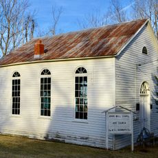
German settlers left their mark on the area by planting vineyards and building communities where traditional crafts and architecture still shape how villages look today. This heritage influences daily life and the way people gather and celebrate throughout the year.

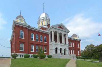
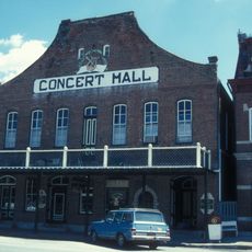
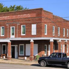
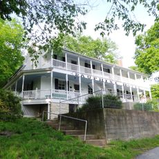
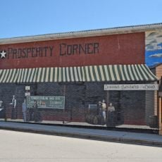
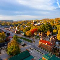
Visitors can explore several towns, with Hermann serving as a known center for wine experiences and remaining accessible by car through good roads. The region offers many stops along the river with local shops and places to eat.

The Hermann wine region earned official designation as an American Viticultural Area in 1983, making it one of the oldest and most respected wine producers in the Midwest. This recognition brought the area international attention for its distinctive grape varieties and production methods.

The community of curious travelers

AroundUs brings together thousands of curated places, local tips, and hidden gems, enriched daily by 60,000 contributors worldwide.

Start exploring
Location
Inception
November 25, 1820
Capital city
Hermann
Shares border with
Montgomery County, Warren County, Franklin County, Crawford County, Phelps County, Maries County, Osage County
GPS coordinates
38.44000,-91.51000
Latest update
December 7, 2025 20:43
Around this place
Meramec Caverns
United States of America

Meramec Caverns

42.7 km
Meramec State Park
United States of America

Meramec State Park

44.1 km
Stone Hill Winery
United States of America

Stone Hill Winery

29.1 km
Big Muddy National Fish and Wildlife Refuge
United States of America

Big Muddy National Fish and Wildlife Refuge

32.1 km
Deutschheim State Historic Site
United States of America

Deutschheim State Historic Site

30.3 km
Dauphine Hotel
United States of America

Dauphine Hotel

42.5 km
Christopher S. Bond Bridge
United States of America

Christopher S. Bond Bridge

30.7 km
Hermann Bridge
United States of America

Hermann Bridge

30.7 km
St. Joseph Church
United States of America

St. Joseph Church

42.4 km
Wilhelm Pelster House-Barn
United States of America

Wilhelm Pelster House-Barn

21.6 km
George B. Hamilton House
United States of America

George B. Hamilton House

43 km
AME Church of New Haven
United States of America

AME Church of New Haven

32.2 km
Hermann Historic District
United States of America

Hermann Historic District

30.3 km
Hotel Cuba
United States of America

Hotel Cuba

42.8 km
Bonnots Mill Historic District
United States of America

Bonnots Mill Historic District

42.3 km
Cuba City Jail
United States of America

Cuba City Jail

43.2 km
New Haven Residential Historic District
United States of America

New Haven Residential Historic District

32.1 km
Cuba High School Annex
United States of America

Cuba High School Annex

42.8 km
New Haven Commercial Historic District
United States of America

New Haven Commercial Historic District

32.2 km
John Manson Munro House
United States of America

John Manson Munro House

43 km
Dr. Enoch T. and Amy Zewicki House
United States of America

Dr. Enoch T. and Amy Zewicki House

30.1 km
Brehe Farmstead Historic District
United States of America

Brehe Farmstead Historic District

42.1 km
Uptown Cuba Historic District
United States of America

Uptown Cuba Historic District

43.1 km
Huber's Ferry Farmstead Historic District
United States of America

Huber's Ferry Farmstead Historic District

34.4 km
Cuba Lodge No. 312 A.F. and A.M.
United States of America

Cuba Lodge No. 312 A.F. and A.M.

42.9 km
Bartsch-Jasper House
United States of America

Bartsch-Jasper House

43.2 km
Jesse James Wax Museum
United States of America

Jesse James Wax Museum

39.8 km
Wildey Cemetery
United States of America

Wildey Cemetery

43.5 km
Show the full map
Administrative divisions
« Gasconade County - Administrative county in east-central Missouri, United States » is provided by Around Us (aroundus.com). Images and texts are derived from Wikimedia project under a Creative Commons license. You are allowed to copy, distribute, and modify copies of this page, under the conditions set by the license, as long as this note is clearly visible.

Discover hidden gems everywhere you go!

From secret cafés to breathtaking viewpoints, skip the crowded tourist spots and find places that match your style. Our app makes it easy with voice search, smart filtering, route optimization, and insider tips from travelers worldwide. Download now for the complete mobile experience.

Around Us App Screenshot

A unique approach to discovering new places

Le Figaro

All the places worth exploring

France Info

A tailor-made excursion in just a few clicks

20 Minutes

Around Us
Travel Guide & Maps
Download

Send to your phone

QR Code
1

Open the camera app on your mobile.

2

Point at the QR code with your camera. A notification will appear.

3

Tap the notification to open the link.