Chest opened
+${chestReward.xp} XP
Explorer
NOUVEAU ×${chestReward.collectible.quantity}
tapez pour fermer
Chest locked

Open chests in the app

Around Us is built for your phone — chests unlock when you walk, explore and capture nearby places.

Enable Location

We need your location to show you interesting places around you

Discover nearby places

Find interesting locations and hidden gems around you

Precise directions

Get accurate directions and distances to places

Your location is never shared with other users. It's only used when you tap the location button.

Versailles

Log in to your account

Start exploring — it's free

Trusted by 72,883 travelers worldwide

Continue with Google
Continue with Apple
or

We will send you a code to connect

By continuing, you accept our Terms and Conditions and our Privacy Policy

Check your inbox

We've sent a pincode in your inbox. Please enter the code below.

Discussion Reviews 3 Photos
38.3k Popularity

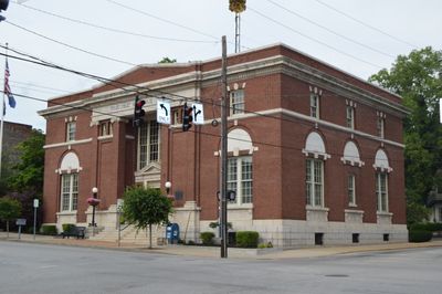
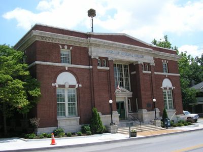
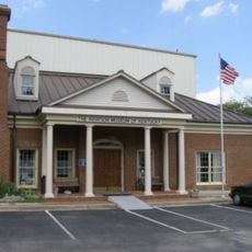
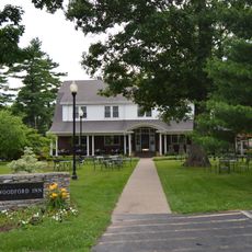
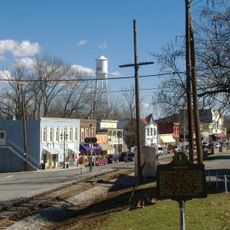
Versailles, Municipal center in Woodford County, Kentucky, US

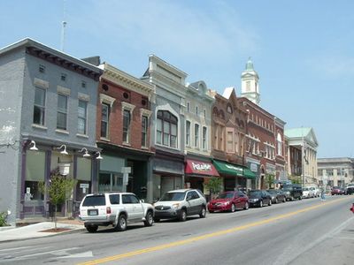
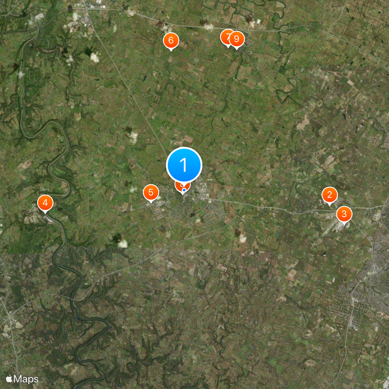
Versailles is a small community in Woodford County located west of Lexington at a modest elevation. The settlement forms part of the broader Lexington-Fayette area and contains residential neighborhoods alongside rural farmland.

The settlement was founded in 1792 and named after the French city as a tribute to General Lafayette. This early establishment reflected the growth patterns of the region during that period.

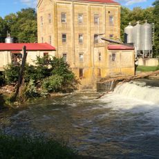
The community maintains deep ties to Kentucky's horse breeding traditions through working farms scattered across the region. Visitors often encounter reminders of this heritage when passing through the countryside.

The community offers basic services for visitors, including a public library branch with local resources. Coming during daylight hours makes it easier to explore the surrounding countryside.

The name is pronounced differently here than in its French original, with the local version sounding like vər-SAYLZ. This linguistic quirk shows how American places adapted European names to their own speech patterns.

The community of curious travelers

AroundUs brings together thousands of curated places, local tips, and hidden gems, enriched daily by 60,000 contributors worldwide.

Start exploring
Location
Inception
1792
Elevation above the sea
272 m
GPS coordinates
38.05470,-84.73080
Latest update
December 17, 2025 09:45
Around this place
Keeneland
United States of America

Keeneland

10.6 km
Aviation Museum of Kentucky
United States of America

Aviation Museum of Kentucky

11.8 km
Young's High Bridge
United States of America

Young's High Bridge

10.2 km
United States of America

Bluegrass Railroad and Museum

2.5 km
Alexander Plantation House
United States of America

Alexander Plantation House

10.2 km
Martyrs Monument in Midway
United States of America

Martyrs Monument in Midway

10.9 km
Cleveland House
United States of America

Cleveland House

265 m
Midway Historic District
United States of America

Midway Historic District

10.9 km
Confederate Monument in Versailles
United States of America

Confederate Monument in Versailles

640 m
Cardinal Hill Reservoir Gatehouse
United States of America

Cardinal Hill Reservoir Gatehouse

10.2 km
United States of America

Airy Mount

4.9 km
United States of America

Pisgah Rural Historic District

7 km
Weisenberger Mills and Related Buildings
United States of America

Weisenberger Mills and Related Buildings

11.4 km
Big Spring Church
United States of America

Big Spring Church

1.4 km
Carter House
United States of America

Carter House

375 m
United States of America

Headley-Whitney Museum

11.1 km
United States of America

Stone House on Tanner's Creek

8.6 km
United States of America

Cox Site

11.9 km
United States of America

John Burrier House

10.7 km
United States of America

Big Sink Rural Historic District

7.5 km
United States of America

John Allen House

9.5 km
United States of America

Edward M. Blackburn House

11.5 km
Nostalgia Station
United States of America

Nostalgia Station

430 m
United States of America

Redd Road Rural Historic District

10.1 km
United States of America

Kentucky Bluff

8.3 km
United States of America

The Brook Golf Club

3.7 km
United States of America

The Woodford Club

5.8 km
United States of America

Waterfall

10.4 km
Show the full map
Reviews
Share your experience

No review yet

Discussions
Start a discussion...

No discussion yet

« Versailles - Municipal center in Woodford County, Kentucky, US » is provided by Around Us (aroundus.com). Images and texts are derived from Wikimedia project under a Creative Commons license. You are allowed to copy, distribute, and modify copies of this page, under the conditions set by the license, as long as this note is clearly visible.

Discover hidden gems everywhere you go!

From secret cafés to breathtaking viewpoints, skip the crowded tourist spots and find places that match your style. Our app makes it easy with voice search, smart filtering, route optimization, and insider tips from travelers worldwide. Download now for the complete mobile experience.

Around Us App Screenshot

A unique approach to discovering new places

Le Figaro

All the places worth exploring

France Info

A tailor-made excursion in just a few clicks

20 Minutes

Around Us
Travel Guide & Maps
Download

Send to your phone

QR Code
1

Open the camera app on your mobile.

2

Point at the QR code with your camera. A notification will appear.

3

Tap the notification to open the link.