
West Point, city in Nebraska, USA
Location: Cuming County
Inception: 1857
Elevation above the sea: 411 m
Website: http://ci.west-point.ne.us
GPS coordinates: 41.83972,-96.71139
Latest update: March 6, 2025 05:30

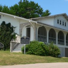
Dr. Susan LaFlesche Picotte Memorial Hospital
39.1 km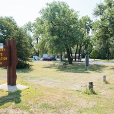
Fremont Lakes State Recreation Area
44.9 km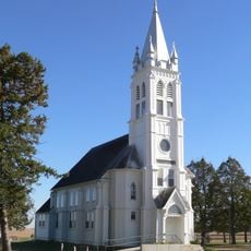
St. John's German Evangelical Lutheran Church
23 km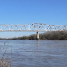
Burt County Missouri River Bridge
43.1 km
John G. Neihardt State Historic Site
22.1 km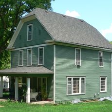
Susan La Flesche Picotte House
38.8 km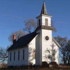
Zion Presbyterian Church
33.7 km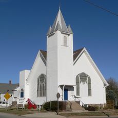
Swedish Heritage Center
20.6 km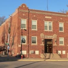
Clarkson Opera House
36.5 km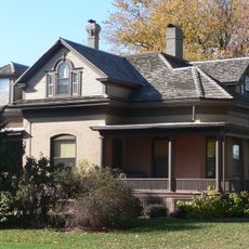
H.S.M. Spielman House
41.6 km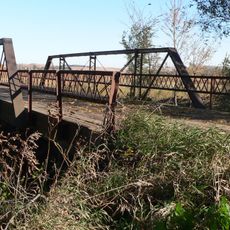
Rattlesnake Creek Bridge
24.2 km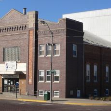
West Point City Auditorium
253 m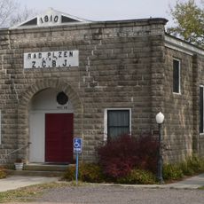
Rad Plzen cis. 9 Z.C.B.J.
45.7 km
Thurston County Courthouse
30.5 km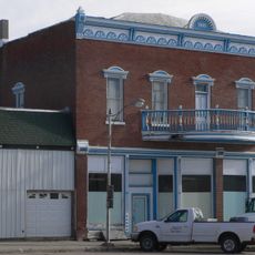
Schneider's Opera House
16.5 km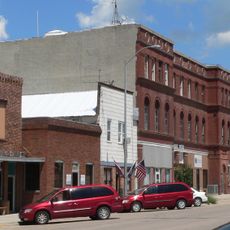
First Thurston County Courthouse
30.6 km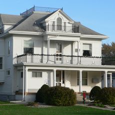
E.C. Houston House
41.2 km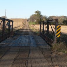
North Omaha Creek Bridge
42.2 km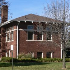
Tekamah Carnegie Library
41.3 km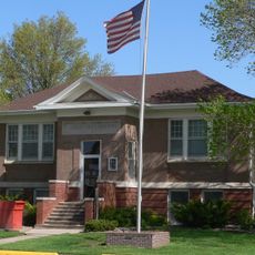
North Bend Carnegie Library
42.2 km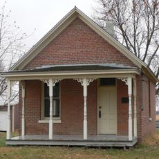
Fontanelle Township Hall
41.1 km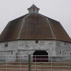
Frank Uehling Barn
20.8 km
Burt County Courthouse
41.3 km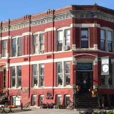
Burt County State Bank
41.3 km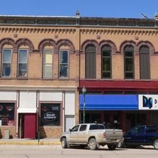
Hooper Historic District
28.8 km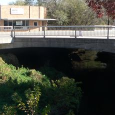
Tekamah City Bridge
41.3 km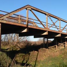
North Omaha Creek Bridge
40.9 km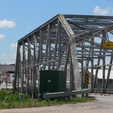
Logan Creek Bridge
30.6 kmReviews
Visited this place? Tap the stars to rate it and share your experience / photos with the community! Try now! You can cancel it anytime.
Discover hidden gems everywhere you go!
From secret cafés to breathtaking viewpoints, skip the crowded tourist spots and find places that match your style. Our app makes it easy with voice search, smart filtering, route optimization, and insider tips from travelers worldwide. Download now for the complete mobile experience.

A unique approach to discovering new places❞
— Le Figaro
All the places worth exploring❞
— France Info
A tailor-made excursion in just a few clicks❞
— 20 Minutes